Professional Industrial 3D Laser Scanning
Capture a live plant without stopping it — pipe racks, equipment, and structure documented at ±5mm so your retrofit is engineered against reality, not 20-year-old PDFs.
TL;DR: We scan operating industrial facilities with zero production downtime — a 220,000 sq ft process plant took 5 field days using hybrid mobile + terrestrial capture at ±6mm registered accuracy. Deliverables include classified point clouds and LOD 300 models of structure, equipment, and pipe 2" and larger.
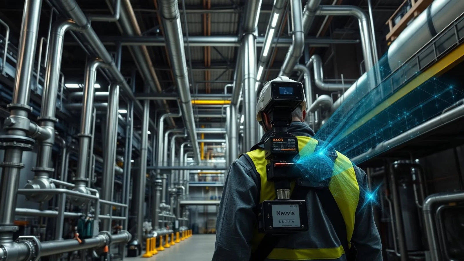
Industrial 3D Laser Scanning, explained simply
Industrial facilities are the hardest scanning environment: dense piping, reflective surfaces, live operations, and geometry that legacy drawings get wrong. We capture them with a hybrid of mobile and terrestrial LiDAR, working around production schedules, and deliver data your engineers can design against.
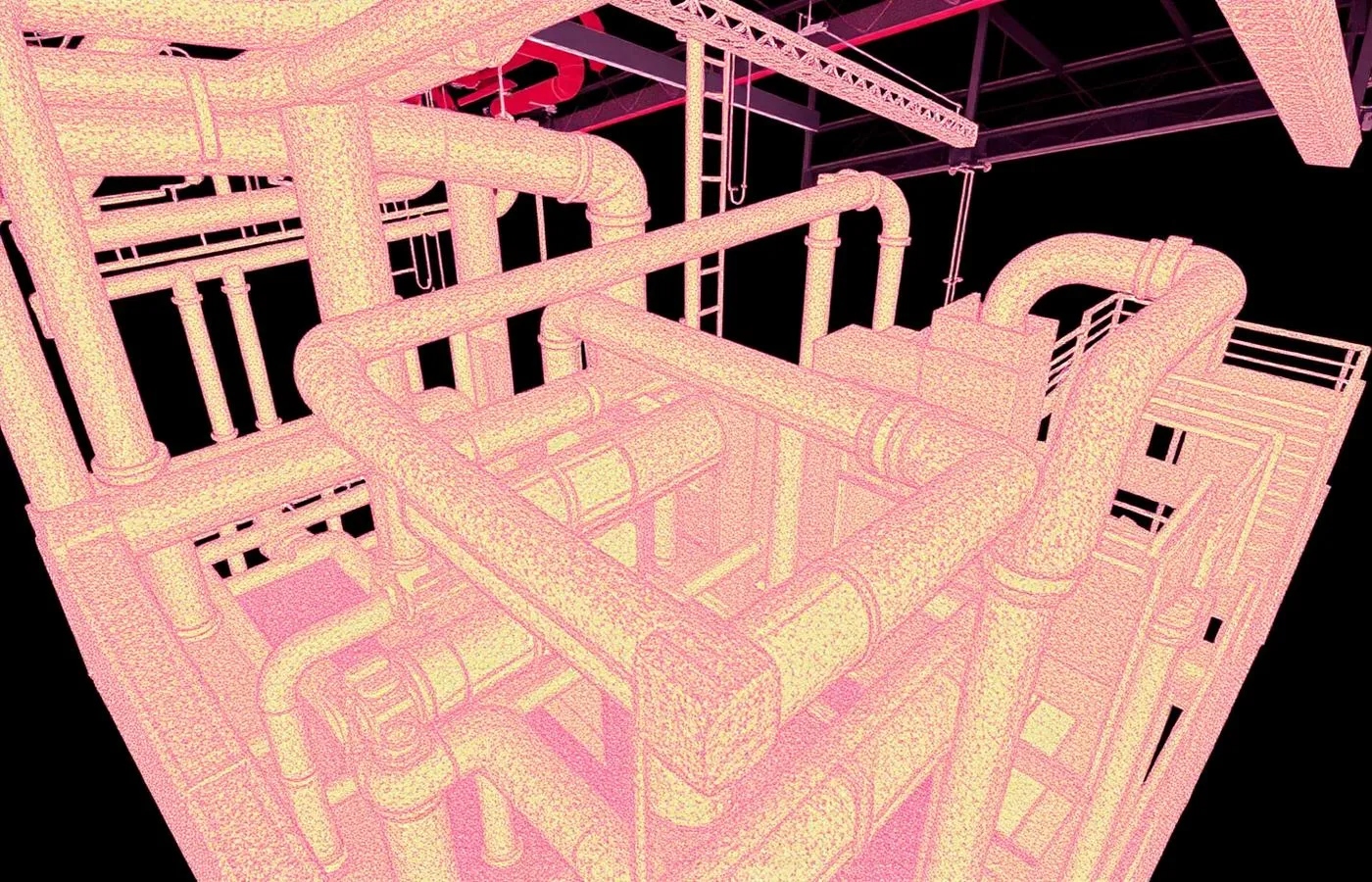
±5mm accuracy, NavVis VLX3 mobile LiDAR
Real impact on AEC project outcomes
Engineer retrofits against verified geometry
Prefabricate with confidence at tie-ins
Eliminate shutdown time spent measuring
Expose undocumented reroutes before design
Cut retrofit RFIs and rework dramatically
Create the facility record maintenance never had
From kickoff to delivery in 4 clear steps
Site & Safety Planning
Capture plan coordinated with operations, safety, and shutdown windows if any.
Hybrid Capture
Mobile LiDAR for coverage; terrestrial setups where tie-in tolerance demands it.
Registration & Classification
Data registered to plant control and classified by system.
Engineering Handoff
Point clouds, models, and 2D extracted to your engineering standards.
Built for teams that can't afford guesswork
- Plant engineers planning retrofits and tie-ins
- Mechanical contractors prefabricating spools
- Owners documenting facilities for capital planning
- EPC firms needing verified existing conditions
- Operations teams mapping process lines
Stop losing time and money to bad data
- ✗P&IDs and plans that don't match the floor
- ✗Retrofit designs that collide with reality
- ✗Prefabricated spools that don't fit at tie-in
- ✗Shutdown windows wasted on field measuring
- ✗Undocumented changes from decades of maintenance
Specific deliverables, in formats your team already uses
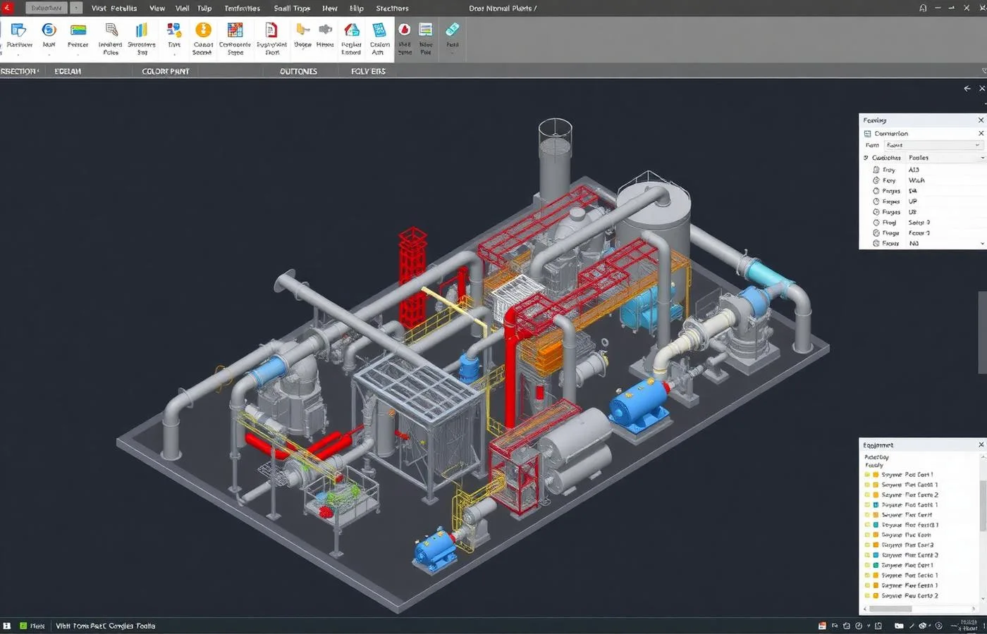
220,000 sq ft live process plant — 5 days, zero downtime
A mechanical retrofit needed verified conditions across two buildings of dense process piping, with 21 days until layout had to start and no production stoppage available.
Hybrid capture (mobile for coverage, 38 terrestrial setups at tie-ins) registered at ±6mm. The model exposed 143 pipe runs routed differently than the PDFs showed, retired 26 RFIs early, and avoided roughly $340,000 in rework — the schedule held.
Industrial 3D Laser Scanning FAQ
Common questions about our industrial 3D laser scanning services
Industries We Serve
See how industrial 3D laser scanning benefits different industries
Complete Guide to Industrial 3D Laser Scanning
Industrial 3D laser scanning addresses a problem nearly every plant shares: the drawings are wrong. Decades of maintenance reroutes, undocumented tie-ins, and as-designed drawings that never reflected as-built conditions mean retrofit engineering routinely starts from fiction. Scanning replaces that fiction with ±6mm measured reality — every pipe run, rack, vessel, and structural member where it actually is.
The industrial environment demands a different capture methodology than commercial buildings. ZEALOT Reality Capture uses hybrid capture: NavVis VLX3 mobile LiDAR covers floor plates, corridors, and mezzanines at walking pace, while terrestrial scanners lock down high-stakes geometry — tie-in points, pump skids, valve clusters — where fabrication tolerance is unforgiving. On a recent 220,000 square foot process plant, that mix delivered full coverage in five field days with zero production downtime.
Downtime is the number that matters most in plant scanning. Our capture plans are built around operations: second-shift windows, aisle-by-aisle sequencing that never blocks production traffic, and brief steady-state holds only where reflective or moving equipment demands them. The scan happens around the work, not instead of it.
Deliverables are engineered for how industrial teams actually work: point clouds classified by system (process, steam, condensate, utility), LOD 300 Revit or plant-design models of structure, equipment, and pipe 2 inches and larger, and 2D plans and sections at every mezzanine elevation for detailing teams that live in AutoCAD. Tie-in packages get the densest data, because that's where a millimeter matters.
The economics are consistently lopsided: on retrofit work, scanning is among the smallest line items and protects the largest. Exposing misrouted lines, elevation drift, and clearance conflicts before demolition regularly avoids six figures of rework. ZEALOT Reality Capture scans industrial facilities across Ohio, the Midwest, and nationwide — around your production schedule, not ours.