Professional Point Cloud Services & Registration
Get point cloud data your team can actually build on — registered to control, QA-verified, classified, and delivered in the formats your software expects.
TL;DR: We deliver registered point clouds at ±5mm accuracy with documented QA — residuals reported, verified against control, cleaned of artifacts, and exported to E57, RCP, or LAS. We also register, clean, and rescue datasets captured by others.
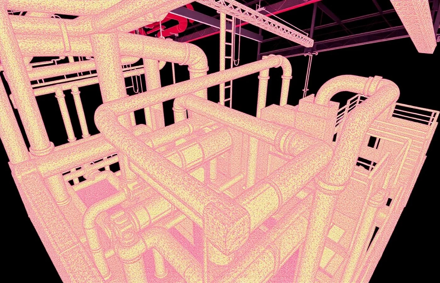
Point Cloud Services & Registration, explained simply
A point cloud is only as good as its registration — the process of aligning individual scans into one accurate whole. We capture, register, verify, and classify point cloud data to documented accuracy standards, and we take on cleanup and registration of data other teams have captured.
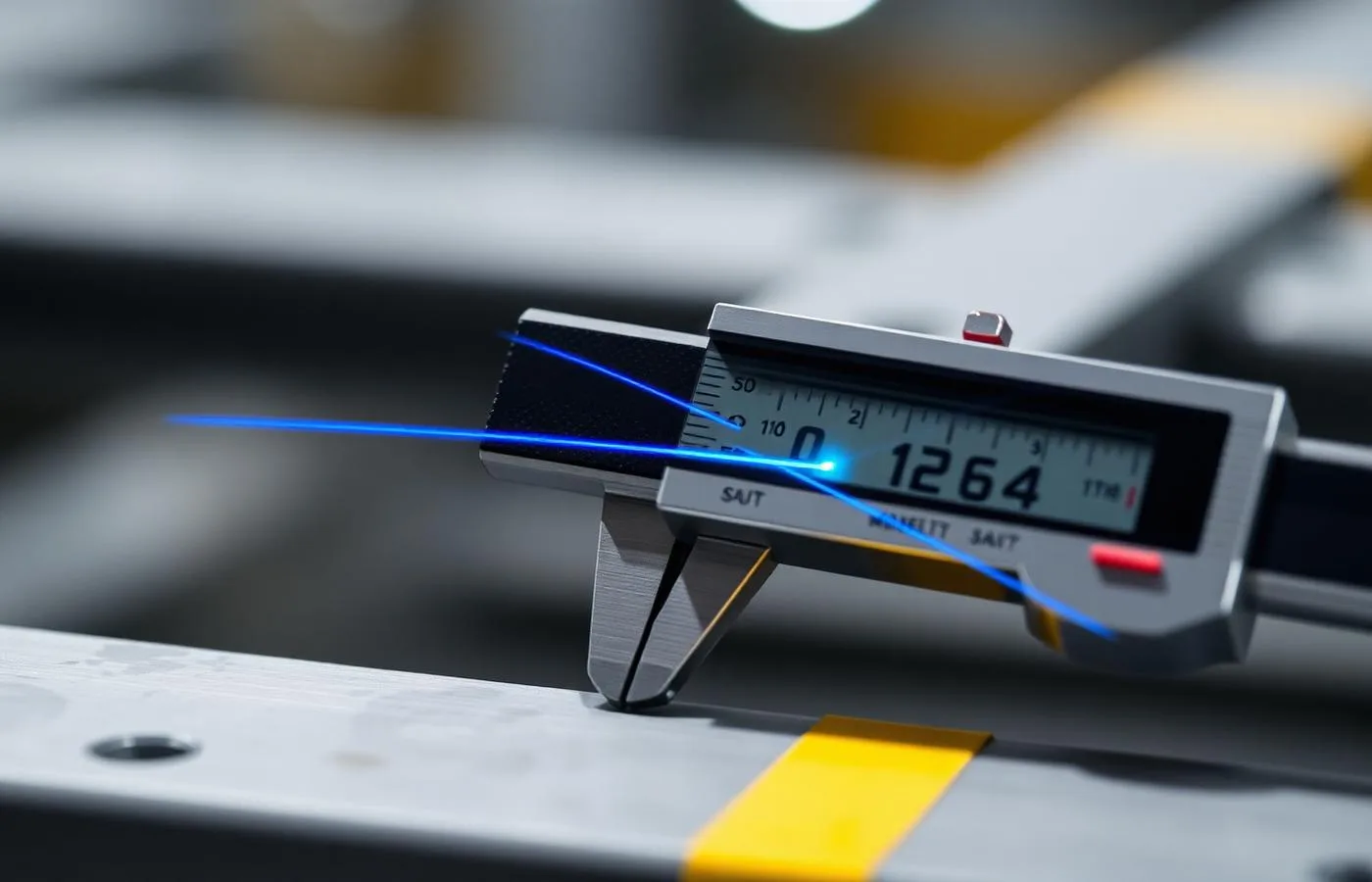
±5mm accuracy, NavVis VLX3 mobile LiDAR
Real impact on AEC project outcomes
Model on data with known, proven accuracy
Stop fighting misaligned or noisy clouds
Get formats that drop into your pipeline
Salvage value from previously captured data
Archive facilities in open standards
Cut modeling time with clean inputs
From kickoff to delivery in 4 clear steps
Assess
New capture scoped — or your existing dataset evaluated for what's achievable.
Register
Scans aligned to control with target constraints and loop closures.
Verify & Clean
Residuals documented, independent checks run, artifacts removed.
Deliver
Classified, formatted data with the QA report that proves its accuracy.
Built for teams that can't afford guesswork
- Design firms consuming point clouds in Revit or CAD
- Survey and engineering teams needing verified accuracy
- Teams holding raw scan data they can't use
- VDC groups requiring classified, clash-ready clouds
- Owners archiving facility documentation
Stop losing time and money to bad data
- ✗Scan data with unknown or undocumented accuracy
- ✗Misaligned registrations that ruin downstream models
- ✗Raw datasets delivered without cleanup or QA
- ✗Format mismatches with your software pipeline
- ✗Clouds too noisy or bloated to work with
Specific deliverables, in formats your team already uses
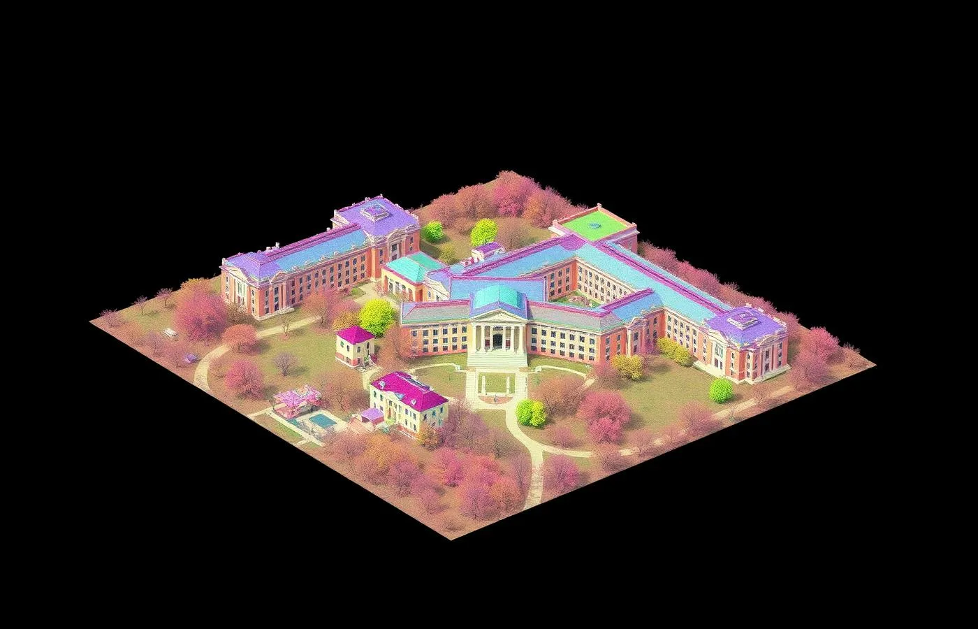
Campus-scale registration — 12 buildings, one coordinate frame
A 480,000 sq ft capture across 12 buildings and 18 acres is only useful if every scan lands in one verified coordinate system.
Control-network registration closed at ±6mm campus-wide, with per-building residuals documented. The federated cloud fed Revit, Civil 3D, and facilities workflows from a single frame — no per-building coordinate gymnastics.
Point Cloud Services & Registration FAQ
Common questions about our point cloud services services
Industries We Serve
See how point cloud services benefits different industries
Complete Guide to Point Cloud Services & Registration
Point cloud services span everything between a scanner and a usable dataset — and registration is where projects quietly succeed or fail. Registration aligns hundreds of individual captures into one coordinate system; done poorly, it produces clouds that look plausible and measure wrong. Every downstream deliverable — the Revit model, the floor plans, the clash report — inherits whatever error registration leaves behind.
ZEALOT Reality Capture treats registration as an engineering process with documented results. Scans are constrained to surveyed control, loop closures are verified, residuals are reported rather than hidden, and independent check measurements confirm the registered cloud against physical reality. Our standard for interiors is ±5mm registered accuracy — stated in the deliverable, not implied by a brochure.
A large share of our point cloud work is data other teams captured. Firms buy scanners, capture buildings, and discover that registration, cleanup, and classification are their own disciplines. We register raw datasets to control, rescue misaligned projects where the underlying captures support it, and are honest when they don't — some data can't be saved, and knowing that early is worth a great deal.
Classification and cleanup determine how fast a cloud can be used. Filtering scan artifacts, removing transient objects like people and vehicles, and separating systems by class turns a raw capture into a working dataset. Delivered formats follow your pipeline: E57 as the open master, RCP/RCS for the Autodesk ecosystem, LAS for civil and analysis workflows, PTS where legacy tools require it.
Whether you need a new capture registered to survey-grade standards or an existing dataset made usable, ZEALOT Reality Capture delivers point cloud services with the QA documentation that lets your team build on the data with confidence. Accuracy claims you can verify are the product — everything else is just points.