Professional Historic Building Documentation
Document historic structures at millimeter precision — measured records that support SHPO submissions, tax credit applications, and preservation planning without touching the fabric you're protecting.
TL;DR: We document historic buildings with hybrid LiDAR capture — ±5mm registered interiors, 2–3mm static detail on ornament — producing measured drawings, orthophotos at 1/8" = 1'-0" or finer, and archival point clouds that support SHPO, Section 106, HABS-level, and tax credit documentation.
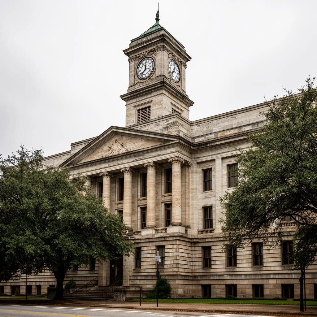
Historic Building Documentation, explained simply
Historic structures demand documentation that's both precise and non-invasive. We capture them with laser scanning — no contact, no fixtures, no disturbance — and deliver the measured drawings, orthophotos, and archival data that preservation professionals, review boards, and funding applications require.
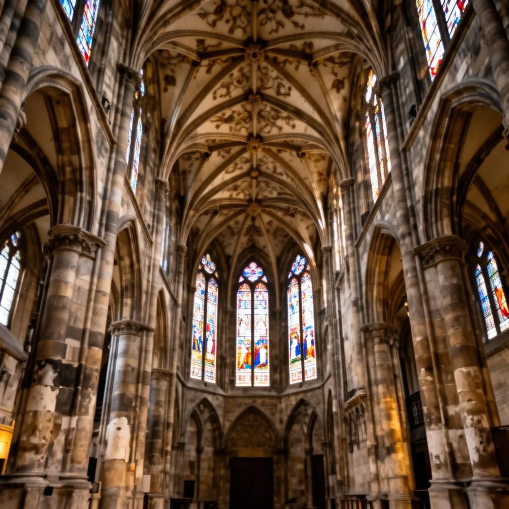
±5mm accuracy, NavVis VLX3 mobile LiDAR
Real impact on AEC project outcomes
Document without endangering what you're preserving
Strengthen tax credit and grant applications
Give review boards drawings they can approve
Establish baselines for monitoring movement
Preserve a permanent record against loss
Support the craft of preservation, not replace it
From kickoff to delivery in 4 clear steps
Preservation Scoping
Documentation needs defined with your preservation team and reviewers.
Respectful Capture
Hybrid scanning planned around fabric, access, and use of the space.
Production
Measured drawings, orthophotos, and analyses from the registered data.
Archive
Open-format datasets delivered for permanent institutional records.
Built for teams that can't afford guesswork
- Preservation architects and consultants
- Owners pursuing historic tax credits
- Agencies with Section 106 obligations
- Religious congregations stewarding sacred spaces
- Museums and trusts building archival records
Stop losing time and money to bad data
- ✗Fragile fabric that can't tolerate contact measuring
- ✗Ornament too complex for tape-and-sketch
- ✗Review submissions needing measured drawings
- ✗Deformation questions with no dimensional baseline
- ✗Institutional records that exist only as memory
Specific deliverables, in formats your team already uses
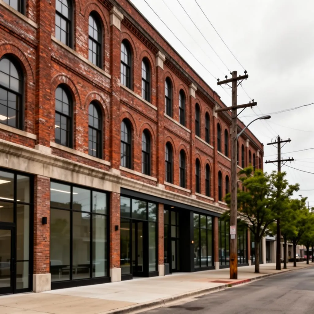
1890s church — scaffold planning from a 1.6° discovery
Repointing and stabilization of a 62,000 sq ft brick church needed elevation documentation the congregation's records never included.
Two field days of hybrid capture produced elevation orthophotos that revealed a 1.6° out-of-plumb west wall — invisible to the eye, decisive for scaffold engineering — plus an archival dataset the parish now holds permanently.
Historic Building Documentation FAQ
Common questions about our historic building documentation services
Industries We Serve
See how historic building documentation benefits different industries
Complete Guide to Historic Building Documentation
Historic building documentation carries a responsibility ordinary as-builts don't: the subject is irreplaceable. Laser scanning has become the preservation field's documentation backbone because it is entirely non-contact — millimeter-precision measurement of fragile plaster, ornate millwork, and centuries-old masonry without a single fixture, ladder strike, or touched surface.
ZEALOT Reality Capture documents historic structures with hybrid methodology: mobile LiDAR covers interiors at ±5mm registered accuracy, while high-density static scanning captures ornament, capitals, and character-defining details at 2–3mm spacing. From that data we produce what preservation practice actually consumes — measured plans, sections, and elevations, plus orthophotos at 1/8 inch to the foot or finer that let conservators annotate real conditions.
Documentation of this grade directly supports the regulatory and funding machinery of preservation: SHPO review packages, Section 106 compliance records, historic tax credit applications at the state and federal level, and HABS-level drawing sets. Reviewers move faster when submissions are measurably accurate, and applications strengthen when existing conditions are documented beyond dispute.
Scanning also answers questions historic buildings accumulate. Orthophoto elevations expose out-of-plumb walls and bulges invisible from the ground — on one 1890s church, a 1.6-degree lean that redefined the scaffold engineering. Repeated captures over time turn the same data into deformation monitoring, giving stewards dimensional evidence of whether movement is historic or active.
We hold a principle learned from the preservation community itself: scanning supports the discipline, it does not replace it. Measured hand documentation, archival research, and conservator judgment lead the work; our data gives that judgment a foundation it can trust. ZEALOT Reality Capture documents historic structures across Ohio and the Midwest — churches, courthouses, theaters, and the buildings communities refuse to lose.