Professional 3D Laser Scanning for Commercial Fit-Outs and Tenant Improvements
Survey-grade capture of the space being fit out — ±5 mm registered accuracy, 80,000–120,000 sq ft per field day, with a first deliverable in 48 hours.
TL;DR: 3D laser scanning for commercial fit-outs and tenant improvements captures existing conditions at ±5 mm registered accuracy, covering 80,000–120,000 sq ft per field day, with a first deliverable in 48 hours, a registered point cloud in 3–5 business days, LOD 200 in 10–15 business days for roughly 100,000 sq ft, and LOD 300 in 3–5 weeks. Deliverables run from open-format point clouds through discipline-separated Revit models, BOMA-compliant area calculations, and 360° panoramic tours, and capture can proceed in occupied or operating spaces on after-hours or overnight shifts.
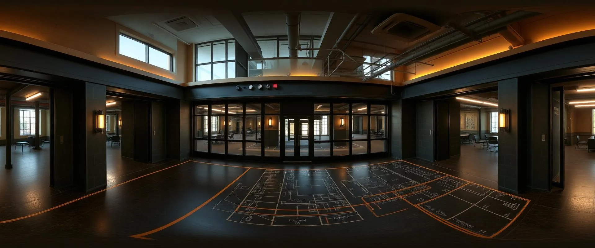
3D Laser Scanning for Commercial Fit-Outs and Tenant Improvements, explained simply
A fit-out scan documents exactly what exists in a space before design begins — slab-to-deck heights, structure above the ceiling, MEP routing, columns, curtain wall, and base-building conditions — so architects and contractors are not designing against outdated landlord drawings. Capture uses mobile LiDAR at ±5 mm registered accuracy and can be scheduled after-hours or overnight so an occupied tenant space never has to shut down.
±5mm accuracy, NavVis VLX3 mobile LiDAR
Real impact on AEC project outcomes
Design against as-built reality instead of landlord drawings
Catch above-ceiling clearance conflicts before construction
Verify base-building conditions before committing to a layout
Scan occupied tenant space without a shutdown
Get a usable deliverable within 48 hours of capture
Fixed pricing with no scope creep once the quote is issued
From kickoff to delivery in 4 clear steps
Scope Review
Coverage, accuracy band, above-ceiling access, and occupancy constraints are confirmed; a quote is issued within 24 hours.
Field Capture
Mobile LiDAR captures the space at 80,000–120,000 sq ft per field day, scheduled after-hours or overnight if the space is occupied.
Registration and QC
Point cloud registration is checked against surveyed control with loop closures verified and residuals reported.
Deliverable Production
Point cloud, Revit model, CAD, BOMA calculations, and panoramic tour are produced per the agreed manifest and LOD.
Built for teams that can't afford guesswork
- Architecture and design firms scoping a tenant improvement
- Commercial contractors bidding or building out leased space
- Landlords verifying base-building conditions against as-builts
- Tenants confirming space before committing to a layout
- MEP engineers coordinating new systems above an existing ceiling
Stop losing time and money to bad data
- ✗Landlord drawings that no longer match built conditions
- ✗Unknown structure above the ceiling discovered mid-construction
- ✗Slab-to-deck heights that don't match design assumptions
- ✗Column locations and dimensions that shift the layout
- ✗No way to verify a space without shutting down an occupied tenant
Specific deliverables, in formats your team already uses
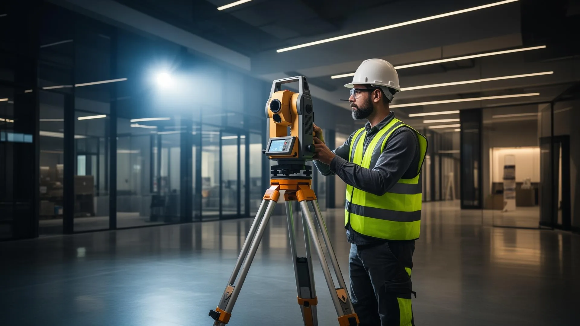
38,400 sq ft occupied hospital wing — two overnight shifts
A hospital renovation team needed existing-conditions capture of a 38,400 sq ft occupied wing without disrupting patient care or clinical operations.
Capture was completed across two overnight shifts with badging and escort, producing a registered point cloud and downstream deliverables without a single daytime shutdown or patient disruption.
3D Laser Scanning for Commercial Fit-Outs and Tenant Improvements FAQ
Common questions about our 3D laser scanning services services
Complete Guide to 3D Laser Scanning for Commercial Fit-Outs and Tenant Improvements
3D laser scanning services for interior fit-out verification on large commercial projects fill a gap that most existing-conditions pages leave open: no fit-out or tenant-improvement page addresses slab-to-deck heights, above-ceiling clearance, landlord base-building conditions versus tenant scope, or core-and-shell verification specifically. A commercial fit-out scan is built for that exact hand-off — the point where a design or construction team needs to know precisely what exists before drawing a single wall.
What is captured on a fit-out. A fit-out scan documents slab-to-deck and slab-to-slab heights throughout the space, the structure above the ceiling including ductwork, sprinkler mains, and conduit routing, existing MEP mains and branch routing, clearance zones for new equipment or ceiling systems, column locations and their true dimensions (which frequently differ from the drawing set), curtain wall and mullion positions, floor flatness and levelness where it affects finish work, base-building conditions as they compare to landlord drawings, core walls and shaft locations, and existing demising walls between tenant spaces. None of this depends on trusting a drawing set that may be decades old or that reflects design intent rather than what was actually built.
The full deliverable manifest, with file extensions. The registered point cloud is delivered as E57, the open master format, alongside RCP/RCS for Revit and ReCap workflows, LAS, and PTS. The Revit model is delivered as RVT at a client-specified LOD from 100 to 500, discipline-separated, and phased so renovation sequencing can be modeled against it. 2D CAD deliverables are DWG floor plans, reflected ceiling plans, sections, and elevations, produced to the client's own layer standard rather than a generic template. BOMA-compliant area calculations are included where leasing or measurement standards require them. A 360° panoramic tour with in-viewer measurement lets non-technical stakeholders walk the space without opening a point cloud. Orthographic images support quick reference without CAD software. Deviation analysis and floor flatness reports are produced where specified — relevant for finish-sensitive fit-outs. A QC and registration report with residuals documents the accuracy achieved on the specific project. The point cloud and panoramas are also available in a hosted viewer, and the client retains the source files outright; nothing is licensed back.
Accuracy, with its conditions. Registered accuracy on architectural fit-out capture runs to ±5 mm, constrained to surveyed control points, with loop closures verified and residuals reported rather than assumed. Independent check measurements confirm the registered result against the physical space. This is reported against USIBD Level of Accuracy conventions so a design or construction team can compare it to their own specification. Not every fit-out needs the tightest accuracy band available — a warehouse racking layout does not carry the same tolerance requirement as a curtain wall replacement or a millwork-heavy retail build-out. Precision is scoped to the decisions the data needs to support and the budget available, rather than delivering the same band regardless of use.
Timeline, staged with a worked example. The staged ladder runs: first deliverable (typically initial imagery or a preview) in 48 hours, a registered point cloud in 3–5 business days, an LOD 200 model in 10–15 business days for roughly 100,000 sq ft, and an LOD 300 model in 3–5 weeks. Applied to a worked example — a 40,000 sq ft floor, occupied, with after-hours-only access — field capture at 80,000–120,000 sq ft per field day means the floor itself is captured well within a single field day; the registered point cloud follows in 3–5 business days, an LOD 200 model in roughly the same 10–15 business day window (scaled down from the 100,000 sq ft reference), and an LOD 300 model in 3–5 weeks from capture. The after-hours access constraint affects field scheduling, not the processing timeline that follows capture.
Scanning occupied and operating spaces. Fit-out documentation frequently has to happen without displacing the tenant or interrupting operations. Capture is scheduled for after-hours and overnight shifts, with badging and escort arranged as the facility requires, so there is no shutdown and no disruption to tenant activity. The proof case for this capability is a 38,400 sq ft occupied hospital wing, captured across two overnight shifts — a live clinical environment documented without a single daytime interruption. Most competing fit-out and scan-to-BIM pages do not address live-facility capability at all; occupied-space capture is treated here as a standard scheduling option, not an exception.
What it costs. Pricing runs $0.05–$0.20 per sq ft, and the primary drivers are square footage, the LOD required, above-ceiling access difficulty, occupancy and after-hours scheduling requirements, and the specific deliverable set requested — a project needing only a registered point cloud and floor plans costs less than one requiring a fully discipline-separated LOD 300 Revit model with BOMA calculations and a panoramic tour. Pricing is fixed once scoped, with no scope creep after the quote is issued, and a quote is returned within 24 hours of a scope review. A free scope review is the starting point for any fit-out project, whether the space is vacant shell or fully occupied.
Slab-to-deck heights and above-ceiling structure, in more depth. Slab-to-deck dimensions drive nearly every downstream decision on a fit-out — ceiling grid height, ductwork routing, sprinkler main clearance, and whether a proposed ceiling system will even fit beneath structure that was never drawn accurately in the first place. A fit-out scan measures slab-to-deck and slab-to-slab heights at enough points across the space to catch variation rather than a single spot check, and it captures the structure above the ceiling — ductwork, sprinkler mains, cable tray, conduit runs, and structural steel or joists — as point cloud data that can be sectioned anywhere a designer needs a cut. That above-ceiling record is frequently the single most requested dataset on a fit-out, because it is the condition landlord drawings are least likely to reflect accurately after years of tenant churn and above-ceiling trade work.
Choosing among the deliverable formats. Which files matter most depends on who is using them downstream: a general contractor coordinating trades typically works from the RVT model and DWG sheets, a surveyor or civil consultant may only need the open-format E57 or LAS point cloud, and a facilities team documenting an as-built for future reference is often served by the hosted point cloud and panorama viewer alone, without ever opening CAD or Revit. Because the registered point cloud underlies every other deliverable, none of these choices requires a separate scan — the manifest is selected at scope review, and formats can be added later from the same registered dataset without remobilizing to the field.
BOMA area calculations, specifically. Area measurement for lease documentation, common-area allocation, or re-measurement disputes has to follow a defined standard rather than a rough take-off from a drawing. BOMA-compliant area calculations are produced directly from the registered point cloud, so the measured boundaries — dominant portion, usable area, rentable area — are tied to as-built wall faces rather than a drawing set that may not match what was actually built. This matters most in re-measurement work, where a landlord or tenant is testing an existing area calculation against BOMA convention and needs a defensible, survey-based number rather than a re-drawn estimate.
Occupied-space capture, in practice. Scheduling around an occupied tenant or a live facility is a logistics problem as much as a technical one: field crews need badging, escort, and often a pre-approved after-hours or overnight window before a single scan is set up. Mobile LiDAR capture at 80,000–120,000 sq ft per field day is fast enough that most single-floor tenant spaces are captured within one overnight window, minimizing the number of nights a facility has to coordinate access. The 38,400 sq ft occupied hospital wing proof case — two overnight shifts, badging and escort, zero daytime shutdowns — is the reference point for what this looks like on a live, operationally sensitive facility; the same approach scales down to a single occupied office suite or up to a multi-floor after-hours program.
Cost drivers, in more detail. Within the $0.05–$0.20 per sq ft range, square footage sets the baseline, but four factors move a project up or down that range independent of size: the LOD required (a registered point cloud alone costs less than an LOD 300 Revit model), above-ceiling access difficulty (a space with a hard lid or dense above-ceiling congestion takes longer to capture and model than an open plenum), occupancy and after-hours scheduling (overnight or weekend-only access adds field time even when the square footage is unchanged), and the deliverable set requested (BOMA calculations, panoramic tours, and deviation analysis each add scope beyond the base point cloud). A scope review identifies which of these apply before a quote is issued, so the number returned within 24 hours reflects the actual project rather than a generic per-square-foot rate.
Related work. Fit-out scanning draws on the same capture platform used for building-3d-laser-scanning and feeds directly into scan-to-bim and floor-plans deliverables when a project needs modeling or CAD beyond the raw point cloud. It is a natural fit for retail-restaurant and multifamily tenant-improvement work, and is available nationwide through service-areas/nationwide for portfolio and multi-site programs beyond the Ohio and Midwest base.