Professional Recurring Progress Scanning
A repeat scan program that captures your project at every milestone — verify installed work against the model, resolve RFIs from your desk, and close out with a true as-built record.
TL;DR: Recurring progress scanning captures a job site on a fixed cadence — weekly, bi-weekly, or per-milestone — at 80,000–120,000 sq ft per visit. Each scan is registered to the same control, so installed work overlays directly on the model and on every previous scan.

Recurring Progress Scanning, explained simply
Instead of scanning once, we return on a schedule throughout construction. Every capture is registered to the same coordinate system, so you can compare any two dates, overlay reality against the design model, and keep a dated record of exactly what was built when — including everything that gets buried behind drywall.
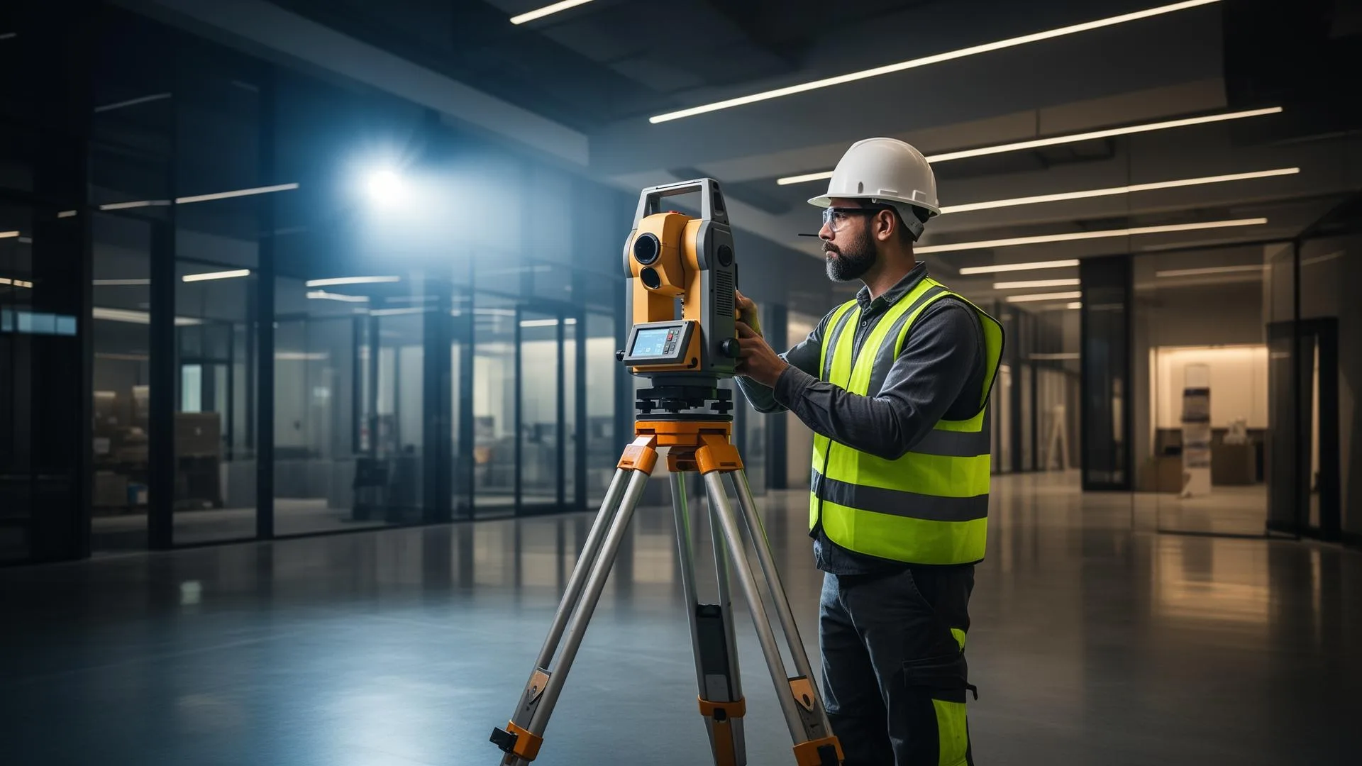
±5mm accuracy, NavVis VLX3 mobile LiDAR
Real impact on AEC project outcomes
Verify installed work before it's covered
Resolve RFIs without site archaeology
Document milestones for pay applications
Catch deviations while they're cheap to fix
Arrive at closeout with the as-built already captured
Build a permanent record of the entire build
From kickoff to delivery in 4 clear steps
Program Design
Cadence, coverage, and control plan matched to your construction schedule.
Baseline
First capture establishes control and the existing-conditions record.
Recurring Visits
Scheduled captures, each registered to the same system and delivered within days.
Closeout
The cumulative dataset becomes your verified as-built record.
Built for teams that can't afford guesswork
- GCs verifying subcontractor work as it goes in
- Owners' reps documenting milestone completion
- VDC teams overlaying reality against the model
- Developers de-risking pay-application disputes
- Teams capturing in-wall/above-ceiling conditions before cover-up
Stop losing time and money to bad data
- ✗RFIs that need last month's site conditions
- ✗Disputes over when work was actually complete
- ✗MEP buried behind drywall with no record
- ✗Progress photos that can't answer dimensional questions
- ✗Closeout as-builts assembled from memory
Specific deliverables, in formats your team already uses
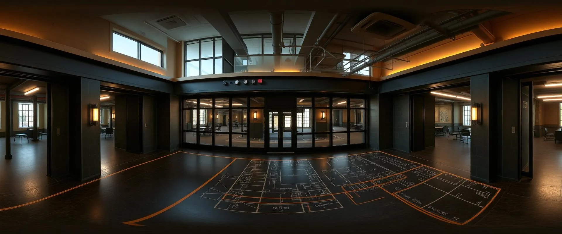
Pre-drywall capture — the record that answers RFIs
Renovation teams routinely hit questions weeks after walls close: where exactly does that conduit run, and was the blocking installed?
A scheduled scan before cover-up preserves every in-wall and above-ceiling condition at ±5mm. Questions that would have meant exploratory demolition become a section cut in the viewer — and the closeout as-built assembles itself from the capture history.
Recurring Progress Scanning FAQ
Common questions about our construction progress scanning services
Industries We Serve
See how construction progress scanning benefits different industries
Complete Guide to Recurring Progress Scanning
Construction progress scanning replaces the weakest link in project documentation — progress photos — with measurable 3D records. A photo shows that ductwork exists; a registered scan shows where it is to ±5mm, whether it matches the coordinated model, and how the site changed since the last capture. When every visit shares the same survey control, any two dates overlay directly.
The highest-value capture in any program is the one taken right before conditions disappear. Pre-drywall and pre-cover-up scans preserve in-wall blocking, conduit routing, above-ceiling MEP, and slab penetrations at the moment they're still visible. Months later, when an RFI asks what's behind a finished wall, the answer is a section cut in a viewer rather than exploratory demolition.
Because mobile LiDAR captures 80,000–120,000 square feet per visit at walking pace, recurring scans are fast enough not to disrupt trades — a bi-weekly capture of an active floor is typically measured in hours. That speed is what makes scheduled programs economical: field time stays small while the cumulative dataset grows into a complete build history.
Progress scan data serves the whole project team. VDC groups overlay captures against the coordinated model to verify installation. Owners' reps tie milestone captures to pay applications. Superintendents settle installed-versus-planned questions the day they come up. And at closeout, the final capture set is the as-built — verified, dated, and already in your team's hands.
ZEALOT Reality Capture runs recurring progress scanning programs across Ohio and the Midwest, with cadence, coverage, and deliverables scoped to your construction schedule. If your current progress documentation is a photo folder, a scan program is the difference between records you have and records you can use.