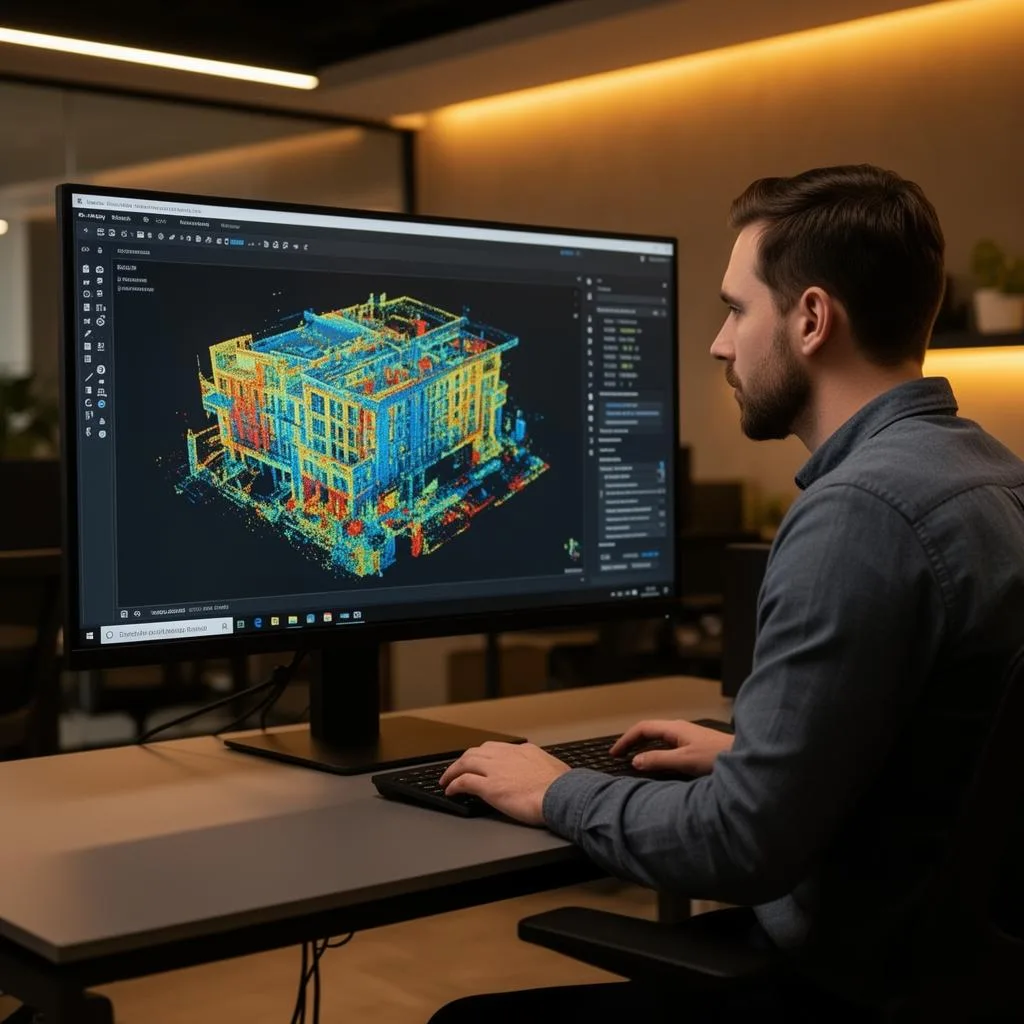
3D laser scanning for insurance claims
Claims, Disputes & Forensic Documentation
Disputes are decided by whoever has the better record. We capture properties and loss sites at ±5mm — a complete, timestamped, measurable record of condition that supports claims, defends against them, and preserves the scene exactly as it stood on the day it mattered.
Common Applications
- Pre-loss condition documentation
- Post-loss and damage documentation
- Construction-defect dispute evidence
- Scope-of-loss measurement and verification
- Pre-construction adjacent-property surveys
- Scene preservation for litigation
Key Benefits
- Timestamped, measurable condition records
- Capture the scene before it changes or is repaired
- Measure remotely — no repeat site access needed
- Verify scope and quantities independently
- Complete coverage instead of selective photos
- Data both sides can examine identically
Featured Projects
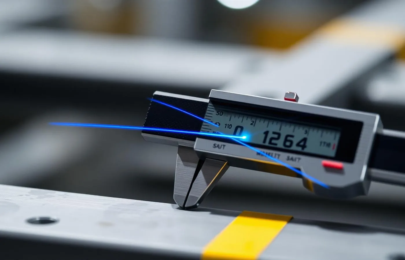
Survey-Grade Condition Records
±5mm registered capture establishing exactly what existed, where, and in what condition — before memory and repairs intervene.
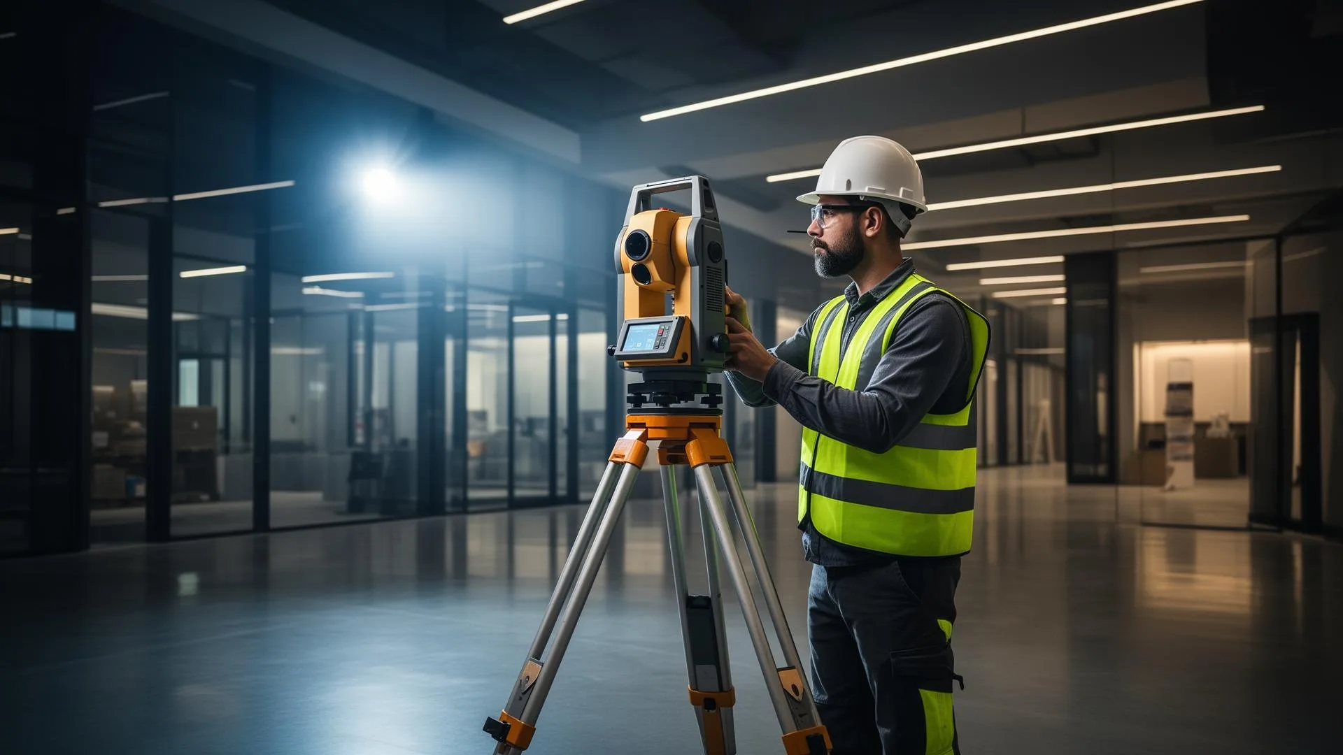
Rapid Site Capture
Walking-pace documentation of complete properties in hours — practical even on active or time-sensitive sites.
Defensible Data Processing
Registration verified against control with documented accuracy reports — evidence that stands up to scrutiny.
Insurance & Litigation Scanning FAQ
Common questions about 3D laser scanning for insurance claims
Related Services
Our 3D laser scanning for insurance claims services for your project
Complete Guide to 3D laser scanning for insurance claims
3D laser scanning for insurance claims and litigation replaces the weakest form of evidence — selective photographs and recollection — with a complete, measurable record. A registered point cloud captures everything visible on a site at ±5mm: not the twenty angles someone chose to photograph, but every surface, dimension, and spatial relationship as they existed at the moment of capture, timestamped and verifiable.
For insurance applications, the highest-value scan is the one taken before anything happens. Pre-loss condition documentation of a facility establishes an objective baseline: when storm, fire, water, or impact damage occurs, the post-loss scan is compared against it and the scope of loss becomes a measurement exercise instead of a negotiation. Carriers, insureds, and adjusters all work from the same dataset — which is precisely why disputes shrink.
In construction-defect and property litigation, scan data changes the practical dynamics of a case. The site can be examined remotely and repeatedly without re-mobilizing experts; dimensions at issue — slopes, deflections, clearances, encroachments — are measured directly from the point cloud with documented accuracy; and because every party can interrogate the identical dataset, arguments move from whose photos to trust toward what the measurements show.
Timing is usually decisive. Damage gets repaired, sites get cleared, and conditions change quickly once a loss occurs — mobile LiDAR captures a complete property in hours, at walking pace, making same-week and often same-day scene preservation practical. Our registration is verified against control and delivered with accuracy documentation, in open formats (E57/RCP) that remain readable for the life of a claim or case.
ZEALOT Reality Capture works with carriers, counsel, owners, and contractors across Ohio, the Midwest, and nationwide from our Powell, Ohio base. If you need a condition documented — before a project starts, after a loss, or ahead of a dispute — contact us; speed matters in this work, and we scope forensic capture accordingly.