3D laser scanning for warehouses
Distribution Centers, Racking & Mezzanines
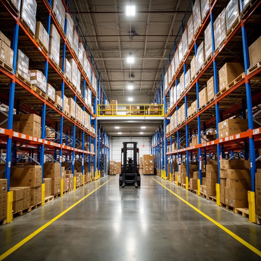
Big boxes hide big surprises: slab conditions, sprinkler heights, column spacing that doesn't match the drawings. We scan distribution centers at 80,000–120,000 sq ft per field day while operations keep running — so racking, automation, and mezzanine projects are designed against reality.
Common Applications
- Racking layout and permit documentation
- Mezzanine design baselines
- Clear-height and sprinkler-clearance verification
- Automation and conveyor retrofit planning
- Dock and door as-builts
- Slab flatness reference data
Key Benefits
- Scan while the facility keeps shipping
- Verify clear heights before racking is ordered
- Catch column-grid deviations before steel is fabricated
- Accurate baselines for automation integrators
- One field day covers most single buildings
- Defensible documentation for landlord negotiations
Featured Projects
Distribution Center Expansion
Racking and mezzanine documentation for a 250,000 sq ft facility — captured without stopping outbound shipments.
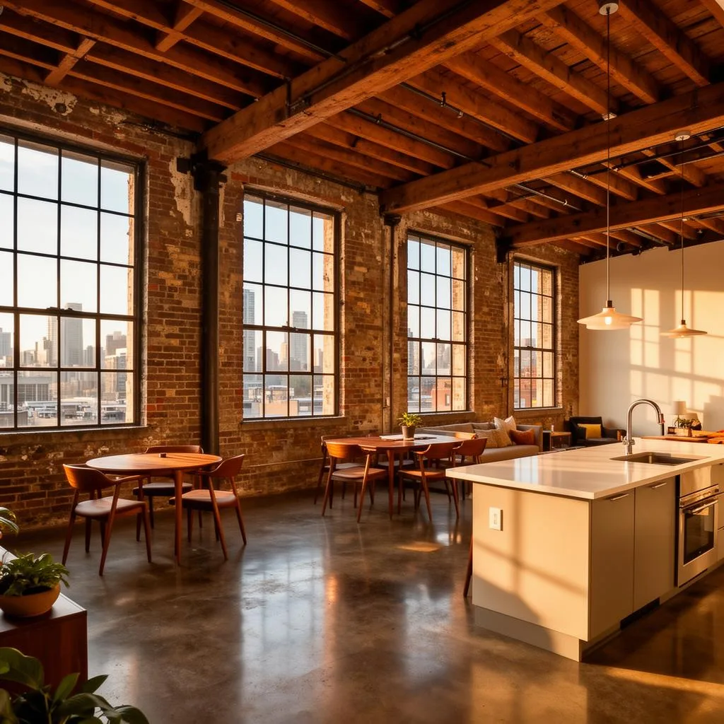
Warehouse Conversion Baseline
Full-building capture supporting a change-of-use design, from slab to structure.
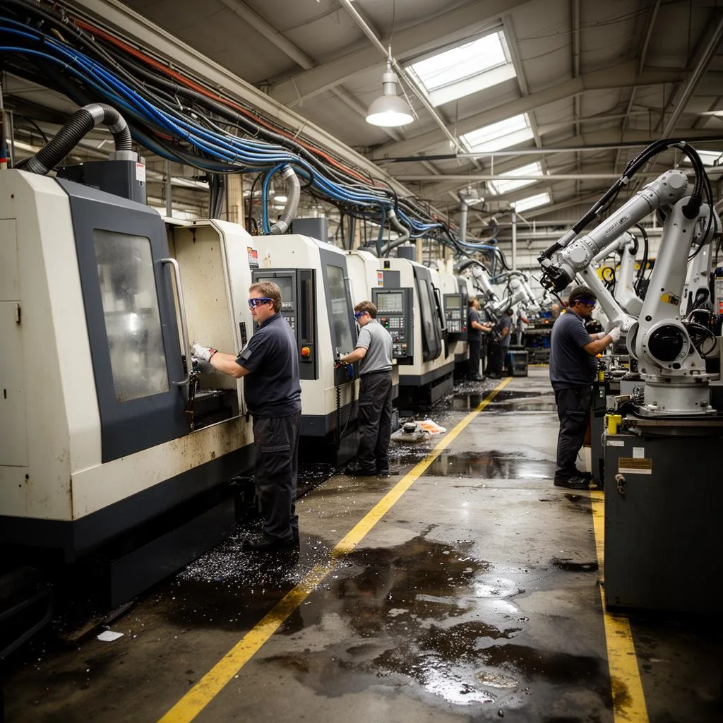
Facility Retrofit Documentation
Equipment, utilities, and structure documented for a production-area reconfiguration.
Warehousing & Distribution Scanning FAQ
Common questions about 3D laser scanning for warehouses
Related Services
Our 3D laser scanning for warehouses services for your project
Complete Guide to 3D laser scanning for warehouses
3D laser scanning for warehouses looks like overkill until the first racking order arrives an inch too tall. Distribution centers are deceptively simple buildings whose economics depend on tight dimensional facts: clear height under sprinklers and joists, true column-grid spacing, dock apron geometry, and slab condition. Original drawings routinely miss all four, and at 250,000 square feet, nobody is verifying them with a tape measure.
ZEALOT Reality Capture scans warehouse and distribution facilities at 80,000–120,000 square feet per field day with NavVis VLX3 mobile LiDAR — most single buildings are one visit — at ±5mm registered accuracy. Capture happens at walking pace on the floor you are already operating: no lift closures, no aisle shutdowns, no interruption to inbound or outbound freight.
Racking and mezzanine projects are the most common trigger. A point cloud gives the racking vendor exact bay-by-bay clear heights and column positions, so layouts maximize pallet positions without clearance violations, and permit drawings reflect the real building. Mezzanine designers get true steel locations and slab elevations before fabrication. Automation and conveyor integrators use the same dataset to route systems through the facility as it exists, not as it was drawn decades ago.
The dataset keeps paying after the immediate project. Facilities teams use hosted point cloud access to answer clearance questions without site walks, verify conditions for insurance and landlord discussions, and hand accurate as-builts to every future contractor. Because we deliver open formats (E57/RCP) plus optional CAD floor plans and Revit models, the data plugs into whatever workflow your next project uses.
From single-building warehouses to multi-site distribution networks, ZEALOT Reality Capture scopes capture to the decision you actually need to make. We serve Ohio and the Midwest from Powell, Ohio and travel nationwide for portfolio programs — contact us for a free consultation and a same-week field-day estimate.