TL;DR
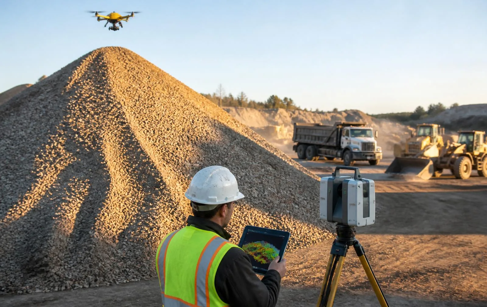
Volume from a laser scan comes down to one thing: instead of estimating a pile's shape from a handful of GPS points, a scanner measures millions of points across its entire surface, and software calculates the exact volume enclosed between that surface and a reference plane. The result is accurate within 1–2%, and can be checked against independent weight-ticket data to ±3% — numbers tight enough to settle billing disputes, pass an audit, and replace a manual survey that's slower, less complete, and puts a person on top of an active pile.
Volume from a laser scan comes down to one thing: instead of estimating a pile's shape from a handful of GPS points, a scanner measures millions of points across its entire surface, and software calculates the exact volume enclosed between that surface and a reference plane. The result is accurate within 1–2%, and can be checked against independent weight-ticket data to ±3% — numbers tight enough to settle billing disputes, pass an audit, and replace a manual survey that's slower, less complete, and puts a person on top of an active pile.
How is volume calculated from a point cloud?
A LiDAR scan of a stockpile or excavation produces a dense cloud of 3D points — every visible surface measured to millimeter precision. Software then builds a triangulated surface model from that cloud (a TIN, or triangulated irregular network) and calculates the volume between that surface and either a flat reference plane, the original ground surface, or a prior scan of the same area. Because the input is the *entire measured surface* rather than a sampled set of GPS shots, the resulting number reflects the pile's actual geometry — including the irregular slumping, coning, and unevenness that a stick survey with 20–30 shot points can only approximate.
How accurate is this compared to a GPS stick survey?
LiDAR-derived volumes run within 1–2% of true volume in normal conditions. Just as important as the raw number is that it's checkable: on a recent Ohio program, we verified scan-derived tonnage against the site's own weight tickets and confirmed accuracy to ±3% — a real-world check against an independent record, not just an internal consistency check.
A GPS stick survey's accuracy depends entirely on how many points a surveyor can physically walk and shoot, and climbing an active pile is itself a safety exposure most operators would rather avoid. A scan captures orders of magnitude more data in a fraction of the time, without anyone leaving the ground near a live stockpile.
What does a volume report actually show?
| Deliverable | What it's for |
|---|---|
| Volume calculation report (cubic yards / tons) | The number itself — for billing, inventory, or pay-quantity purposes |
| Topographic surface model (.dwg / .ttm) | Opens in your own civil/survey software for further analysis |
| Heat-map pile visualization | Shows where material gained or was removed since the last scan, at a glance |
| Cut/fill comparison report | Directly compares two dates on the same coordinate system |
| Time-series tracking | For recurring programs — a running history of the site, not just one snapshot |
Real numbers: what a scanning program actually changes
An Ohio aggregate producer was losing accuracy on their stockpile inventory and repeatedly getting flagged in audits for material variances — the kind of finding that costs real money in write-offs and makes every year-end count a fight. We set up a quarterly drone + ground-LiDAR scanning program. Inventory variance dropped from ±8% to under ±1.5%, and the audit findings cleared. That's not a marginal improvement — it's the difference between a number auditors accept and one they don't.
Who uses volumetric scanning, and for what?
- Aggregate, mining, and quarry operators — inventory accounting that survives an audit
- GCs tracking earthwork progress and pay quantities — defensible numbers both sides can trust
- Material suppliers verifying inventory — for accounting, not estimation
- DOTs and civil engineers — monitoring cut/fill on active projects
- Auditors and insurers — needing quantities they can independently verify
How often should you rescan?
There's no single answer — it depends on how fast the pile or excavation turns over and what the number is defending. A quarterly cadence is typical for inventory audits. Active excavation tracking or high-value material commonly runs weekly or per-shipment. Because every scan in a recurring program registers to the same control network, any two dates compare directly — the same discipline used in construction progress scanning for buildings, applied to earthwork.
What does a volumetric scanning program actually look like, start to finish?
The process runs in four steps, and none of them require pausing operations:
- Site assessment. We evaluate the site and confirm what the measurement actually needs to answer — a single audit number, a recurring inventory program, or a cut/fill comparison against a prior baseline.
- 3D scanning. Complete capture of the stockpile or excavation area, from the ground or by drone depending on scale and access.
- Analysis. Volume calculations and comparison reports are generated from the registered scan data.
- Reporting. Detailed reports with visualizations — the heat map, the cut/fill comparison, the raw numbers — are delivered in the format your accounting or engineering team already works in.
For a single-pile audit, that whole sequence typically closes in days, not weeks. For a recurring program, the first scan establishes the baseline and every subsequent visit measures against it.
What actually goes wrong with the old way of doing this?
The problems a scan-based program solves are specific and recurring: inaccurate stockpile estimates that nobody catches until a year-end audit, inventory write-offs that show up as a surprise on the books, disputes between an owner and a contractor over how much material actually moved, and — perhaps most overlooked — no historical record of how a site's material has changed over time. A GPS-stick survey answers "what's here today," badly. A scanning program answers that question well, and it also answers "how has this changed since March," which a one-time survey never could.
Is this safer than a manual survey?
Yes, materially. A GPS-stick survey means sending someone to walk the top of a pile that may be actively loaded or unstable at the edges. A scan is captured from the ground or by drone, with no one climbing anything. On active sites, that alone is often reason enough to switch.
If your current stockpile numbers come from someone's best guess or a survey that takes a day to complete, volumetric scanning turns that into a report you can hand to an auditor without hesitation.