TL;DR
TL;DR: Mobile LiDAR is the default for buildings (±5mm at 80,000–120,000 sq ft/day, works in occupied spaces); tripod scanning buys 1–2mm precision where fabrication or control demands it; drones cover roofs, sites, and stockpiles. Big projects combine all three on one control network.
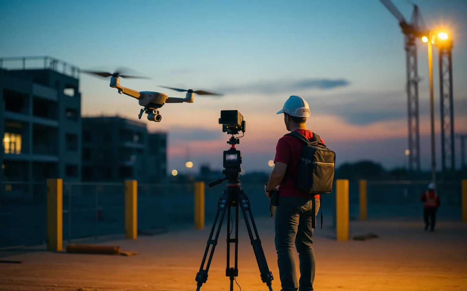
LiDAR comes on three platforms, and choosing between them is really choosing between coverage, precision, and speed. Drone LiDAR covers sites, roofs, and corridors from the air. Terrestrial (tripod) scanning delivers maximum precision from stationary setups. Mobile scanning captures whole buildings at walking pace. Most real projects use the platform that matches their dominant constraint — and the biggest projects use two or three together on shared control. Here's how the choice actually gets made.
What does each LiDAR platform do best?
| Platform | Sweet spot | Typical accuracy class | Coverage rate |
|---|---|---|---|
| Drone (UAV) LiDAR | Sites, roofs, corridors, stockpiles | Centimeter class | Hundreds of acres/day |
| Terrestrial (tripod) | Fabrication-grade zones, control | 1–2mm class | Thousands of sq ft/day |
| Mobile (wearable) | Building interiors at scale | ±5mm registered | 80,000–120,000 sq ft/day |
When is mobile LiDAR the right choice?
For most commercial building documentation, mobile scanning is the default — and the economics explain why. A wearable system like the NavVis VLX3 captures at walking pace while collecting 360° panoramas simultaneously, so a building that would take a tripod crew most of a week resolves in a single field day. At ±5mm registered accuracy, the data comfortably supports as-built documentation, 2D floor plans, and Revit models at LOD 200–350 — which covers the overwhelming majority of renovation, coordination, and facility documentation scopes.
Mobile also wins on occupied buildings: no tripods blocking corridors, no areas roped off, capture that works around hospitals, offices, and live plants instead of shutting them down. Our timeline guide shows what this does to project schedules.
When do you still need terrestrial scanning?
When the tolerance demands it. Tripod scanners reach the 1–2mm class, and their stationary geometry produces the cleanest possible data for:
- Fabrication dimensioning — steel connections, prefabricated assemblies, anything cut to the scan.
- Survey control — establishing the network that mobile and drone data register against, verified in the registration and QA process.
- Deformation and monitoring work — where millimeters are the signal, not the noise.
- Dense mechanical zones — a tripod parked in a chiller plant resolves detail a moving scanner passes by. Our plant retrofit case study used exactly this hybrid.
The practical pattern on our projects: mobile covers the building, tripod covers the zones that need more, and both register to one control network. You buy precision where the project needs it instead of paying tripod field rates everywhere.
What is drone LiDAR actually for?
Everything the ground can't reach efficiently: roofs, upper facades, large sites, stockpile yards, utility corridors. Drone LiDAR (as opposed to drone photogrammetry — see scanning vs. photogrammetry) penetrates vegetation better and measures directly, making it the tool for topography and volumetric work. Our quarterly stockpile program pairs drone capture with ground LiDAR — inventory variance dropped from ±8% to under ±1.5% on that pairing.
For buildings, the drone is a supplement, not the star: it fills the roof and facade gaps in a ground-based capture, registered to the same control.
How do you choose for a real project?
Ask three questions:
- What's being captured? Interiors → mobile. Fabrication zones → tripod. Sites and roofs → drone.
- What tolerance does the downstream deliverable need? LOD 200–350 BIM and floor plans → ±5mm mobile data is comfortable. Fabrication → 1–2mm tripod zones.
- What are the site conditions? Occupied and operating → mobile's non-disruptive capture. Escorted or hazardous zones → fewer, faster visits matter; platform speed is a safety feature.
Then stop thinking in platforms and think in programs: one control network, each platform where it's strongest, one registered deliverable. That's how a 12-building campus gets captured in nine field days, and it's how your project should be scoped too. Not sure which mix fits? Describe the building and the decision — the platform choice falls out of the scope, and the quote comes back within a business day.