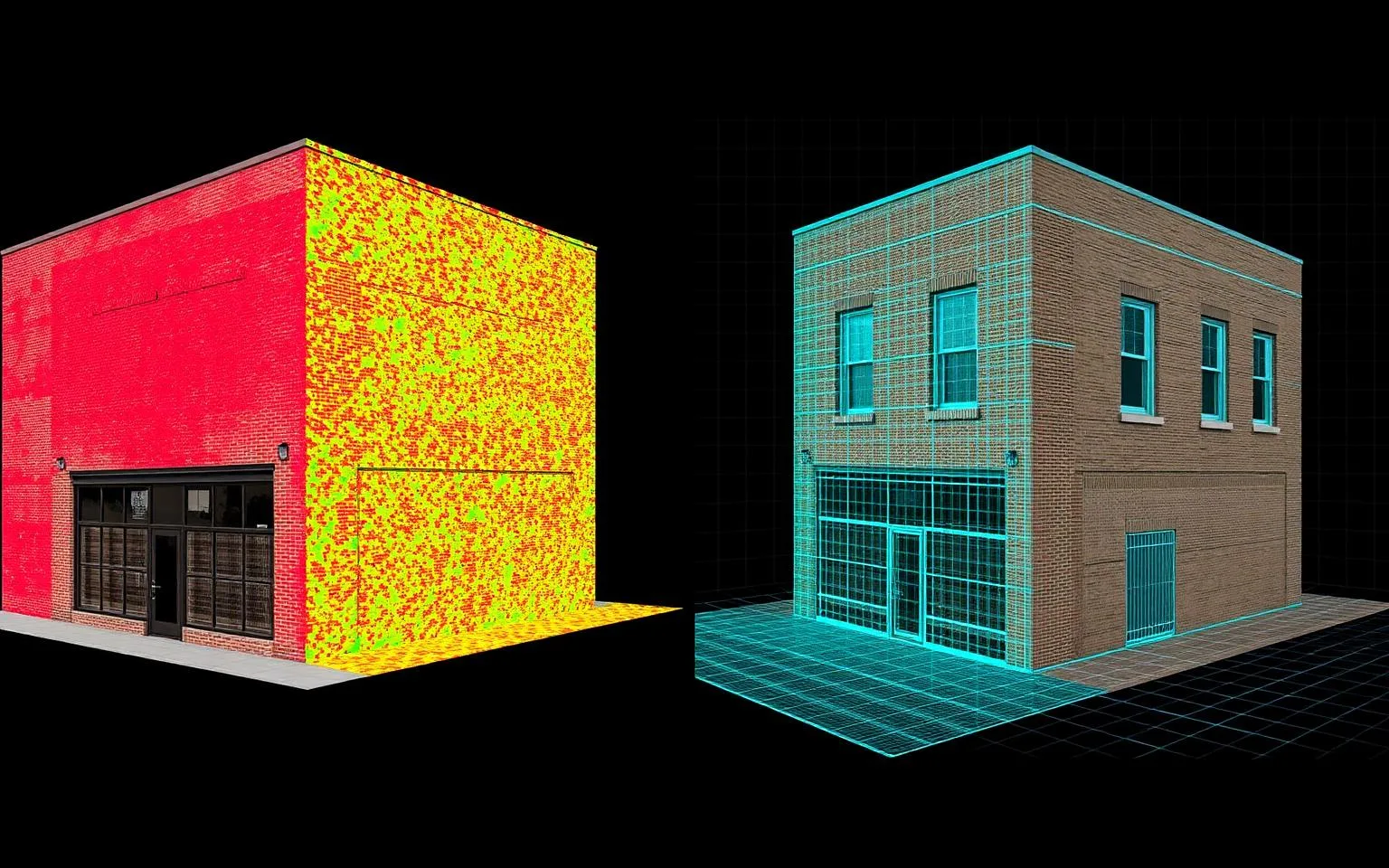
TL;DR
TL;DR: Laser scanning measures directly (±5mm, verifiable, works indoors and on MEP); photogrammetry reconstructs from photos (photorealistic, great from drones, unreliable indoors). Buildings default to LiDAR; sites and roofs favor drones; the best projects combine both on shared control.
3D laser scanning and photogrammetry both produce point clouds, but they get there in opposite ways — scanning *measures* distances directly with laser pulses, while photogrammetry *reconstructs* geometry by triangulating overlapping photographs. For building documentation, laser scanning wins on accuracy, interiors, and consistency; photogrammetry wins on texture, aerial coverage, and hardware cost. Most professional building projects default to LiDAR, and this article explains exactly why — and where photogrammetry genuinely earns its place.
How do laser scanning and photogrammetry actually work?
Laser scanning (LiDAR) is active measurement: the scanner emits laser pulses, times their return from every visible surface, and records millions of measured 3D points. Accuracy comes from physics, not interpretation — our NavVis VLX3 mobile system holds ±5mm registered accuracy while capturing 80,000–120,000 sq ft per field day, and terrestrial tripod scanners reach the 1–2mm class for zone-specific work.
Photogrammetry is passive reconstruction: software finds matching features across overlapping photos and triangulates their positions. Quality depends on the photos — coverage, overlap, lighting, texture — and on the processing. With ground control points and good conditions, drone photogrammetry can achieve centimeter-class accuracy; without them, results drift unpredictably.
Where does laser scanning win?
- Accuracy you can verify. A scan's accuracy is checked against control and documented in a registration report. Photogrammetric accuracy varies scene by scene and is hard to certify — a problem when drawings will be stamped or disputes are possible.
- Interiors. Indoor spaces are photogrammetry's nightmare — blank walls, repetitive patterns, poor lighting, and tight geometry starve the feature-matching that reconstruction depends on. LiDAR doesn't care; it measures blank drywall as happily as ornate stone.
- Featureless and reflective-adjacent surfaces. Uniform surfaces that give photogrammetry nothing to match are just geometry to a laser.
- MEP and clutter. Pipes, conduit, and equipment racks resolve cleanly in LiDAR; photogrammetric reconstruction smears and bridges them. MEP documentation is effectively LiDAR-only territory.
- Consistency. Scan the same building twice and you get the same answer. That repeatability is what makes progress scanning and change detection trustworthy.
Where does photogrammetry win?
- Photorealistic texture. Reconstruction from photos produces fully textured meshes that look like the real thing — better than colorized point clouds for visualization, marketing, and stakeholder presentations.
- Aerial and large-area coverage. A drone photogrammetry flight covers roofs, facades, stockpile yards, and sites faster and cheaper than any ground-based method — and for volumetric measurement, drone capture paired with ground LiDAR is a proven combination. Our quarterly aggregate-yard program cut inventory variance from ±8% to under ±1.5% with exactly that pairing.
- Hardware cost. A camera and software versus a survey instrument. For low-accuracy visual records, photogrammetry's barrier to entry is genuinely lower.
- Inaccessible detail. Upper facades, steeples, and roofscapes photographed by drone fill gaps a ground scanner can't see — a standard supplement on historic documentation projects.
Can you combine laser scanning and photogrammetry?
Yes, and the best projects often do. The standard split: LiDAR provides the measured backbone — interiors, structure, MEP, anything a professional will dimension — while drone photogrammetry adds roofs, facades, and site context. The datasets register together on shared control, producing one deliverable with survey-grade bones and photographic skin. This is routine on campus and industrial work where no single sensor sees everything.
Which should your project use?
Choose by what happens to the data:
| Situation | Use |
|---|---|
| Renovation design, as-builts, BIM | Laser scanning |
| Interior documentation of any kind | Laser scanning |
| MEP, structural, clash workflows | Laser scanning |
| Roofs, facades, large open sites | Photogrammetry (drone) |
| Stockpile volumes | Drone + LiDAR pairing |
| Marketing visuals, textured models | Photogrammetry |
If professionals will measure it, scan it. If people will look at it, photograph it. If both — and that's most real projects — capture both in one coordinated program. For the parallel question of *which scanner type* to use once you've chosen LiDAR, see mobile vs. terrestrial scanning.