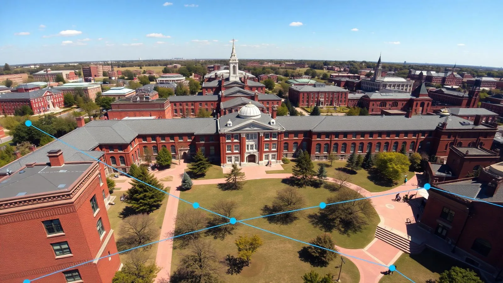
3D laser scanning for universities
Universities, K-12 & Campus Planning
Campuses accumulate decades of buildings and lose decades of drawings. We capture entire campuses on a single coordinate system — a 12-building, 480,000 sq ft university program took nine field days — giving facilities teams, planners, and outside architects one current, measurable record.
Common Applications
- Campus-wide as-built programs
- Master planning baselines
- ADA accessibility documentation
- Dorm and classroom renovation planning
- Historic campus building records
- Summer-break capture scheduling
Key Benefits
- Every building on one coordinate system
- Scan during breaks — zero academic disruption
- Replace scattered PDFs with one federated dataset
- Cut repeat field-verification trips for consultants
- Support capital planning with real square footages
- Permanent records that survive staff turnover
Featured Projects
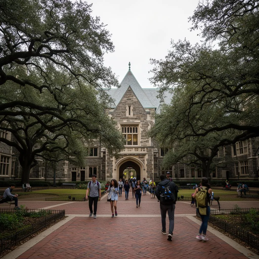
12-Building University Campus
480,000 sq ft captured in nine field days — point clouds, panoramas, and per-building LOD 200 models on one coordinate system.
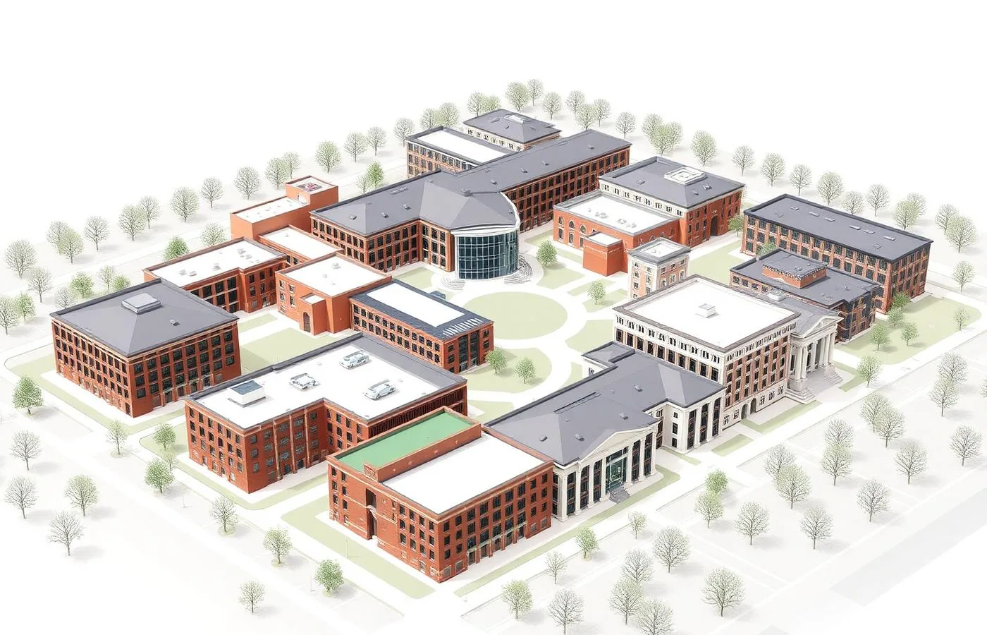
Federated Campus Dataset
The unified model flagged 19 non-compliant ramps for the ADA program and cut an estimated $85,000 in repeat site visits.
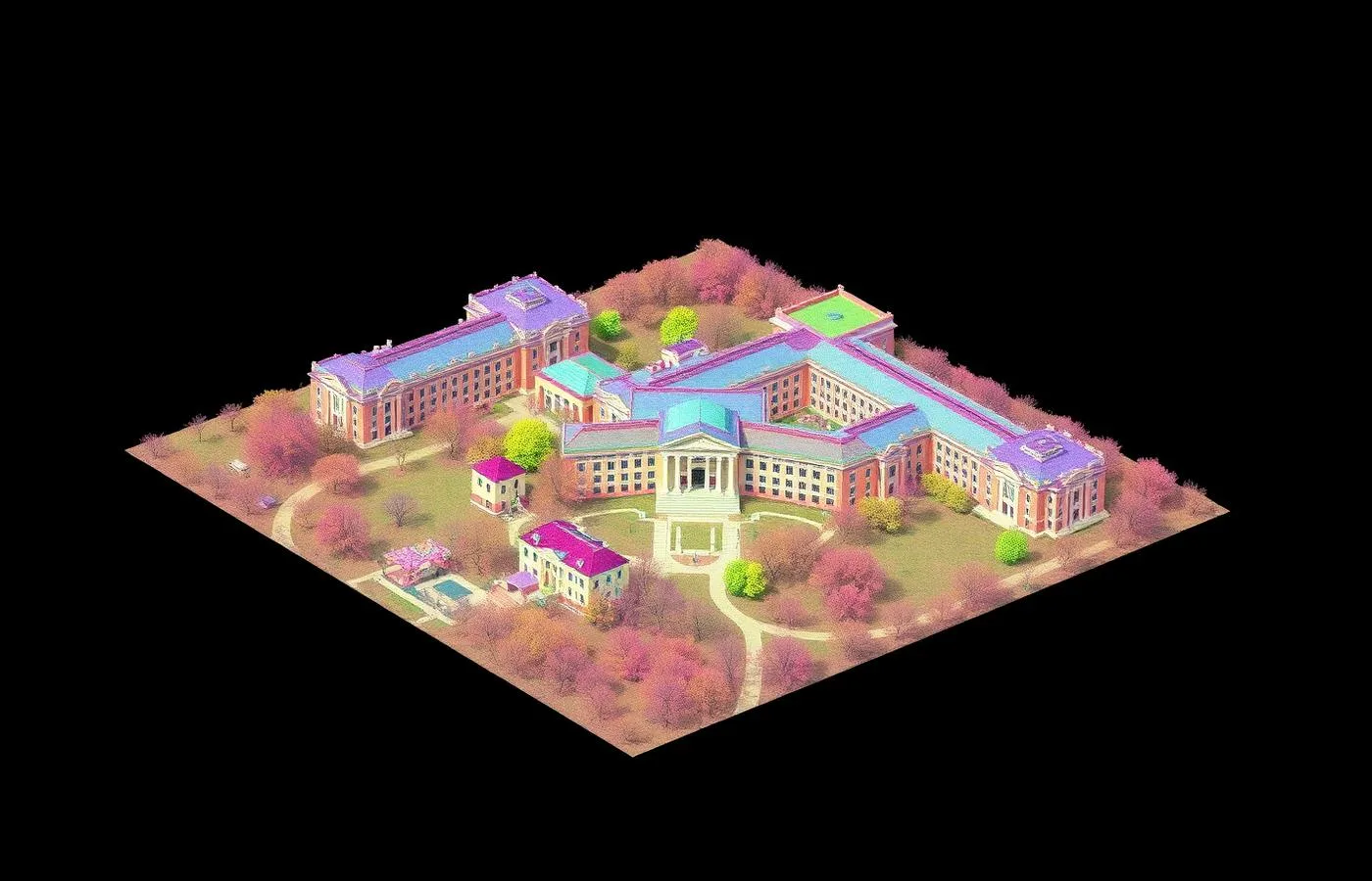
Campus Point Cloud Archive
Registered ±5mm point clouds delivered in open formats — the facilities team's permanent planning baseline.
Education & Campus Facilities Scanning FAQ
Common questions about 3D laser scanning for universities
Related Services
Our 3D laser scanning for universities services for your project
Complete Guide to 3D laser scanning for universities
3D laser scanning for universities addresses a problem every campus facilities director knows: the drawing archive is a patchwork. Buildings from different eras, renovations that were never documented, additions drawn by firms that no longer exist — and every new project starts with expensive field verification of conditions somebody already measured once. Campus-wide reality capture replaces that patchwork with one current, measurable record.
ZEALOT Reality Capture documented a 12-building Midwest university campus — 480,000 square feet spanning 80 years of construction — in nine field days using NavVis VLX3 mobile LiDAR. Every building was registered to a single campus coordinate system at ±5mm accuracy, with 360° panoramic imagery captured simultaneously. The federated dataset replaced scattered PDFs and tribal knowledge with data any authorized stakeholder can open in a browser.
The returns showed up immediately. The unified model flagged 19 ramps that did not meet ADA slope requirements, giving the accessibility program a verified priority list instead of a guess. The facilities team estimates the dataset eliminated roughly $85,000 in repeat field-verification trips in its first planning cycle, and average renovation planning time dropped by 40% because architects started from accurate existing conditions on day one.
Academic calendars make campuses unusually good scanning candidates. Summer break, winter recess, and low-occupancy windows let our team move through classroom buildings, dormitories, labs, and historic halls at full walking-pace speed — 80,000–120,000 square feet per field day — without disturbing instruction. Multi-year capture programs can cover a campus building by building as budgets allow, because every scan lands on the same coordinate system.
Whether you manage a university, a K-12 district, or a private-school campus, ZEALOT Reality Capture can scope a capture program that fits your calendar and your capital plan. We serve Ohio and the Midwest from Powell, Ohio and travel nationwide for campus programs — contact us for a free consultation and a realistic field-day estimate for your building list.