Professional Adaptive Reuse As-Built Documentation
A non-contact, ±5 mm registered record of a historic or older building — ornamental detail, out-of-plumb and non-orthogonal geometry, and timber and masonry conditions preserved intact — structured for feasibility studies, design for reuse, and historic tax credit and SHPO documentation review.
TL;DR: Adaptive reuse as-built documentation captures existing conditions in historic and older buildings without touching fragile fabric — registered point cloud, LOD 200–350 Revit model that carries true out-of-plumb and non-orthogonal geometry rather than idealized planes, ornamental detail sufficient for preservation review, and 2D drawings formatted for historic tax credit and SHPO submittal packages. Capture runs 80,000–120,000 sq ft per field day, with a registered point cloud in 3–5 business days, feeding feasibility studies and design for reuse from one dataset.
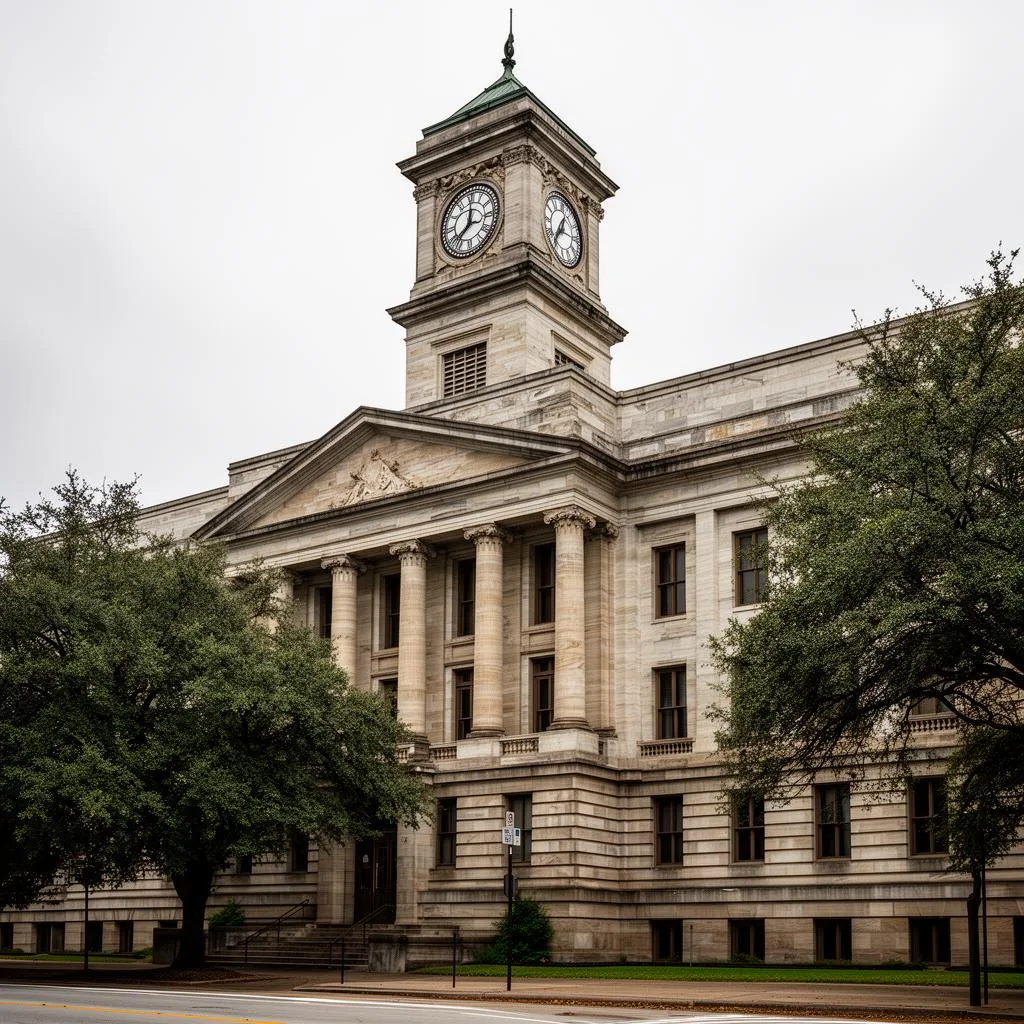
Adaptive Reuse As-Built Documentation, explained simply
Adaptive reuse as-built documentation is a laser-scan record built specifically for buildings where the existing fabric is part of what is being preserved — timber framing, masonry walls, plaster ornament, and the settled, out-of-plumb geometry that comes with age. The scanner never touches the building, the point cloud captures what is actually there rather than what a drawing says should be there, and the deliverables are formatted to support both a design team's feasibility work and the historic tax credit or SHPO documentation a reuse project has to clear.
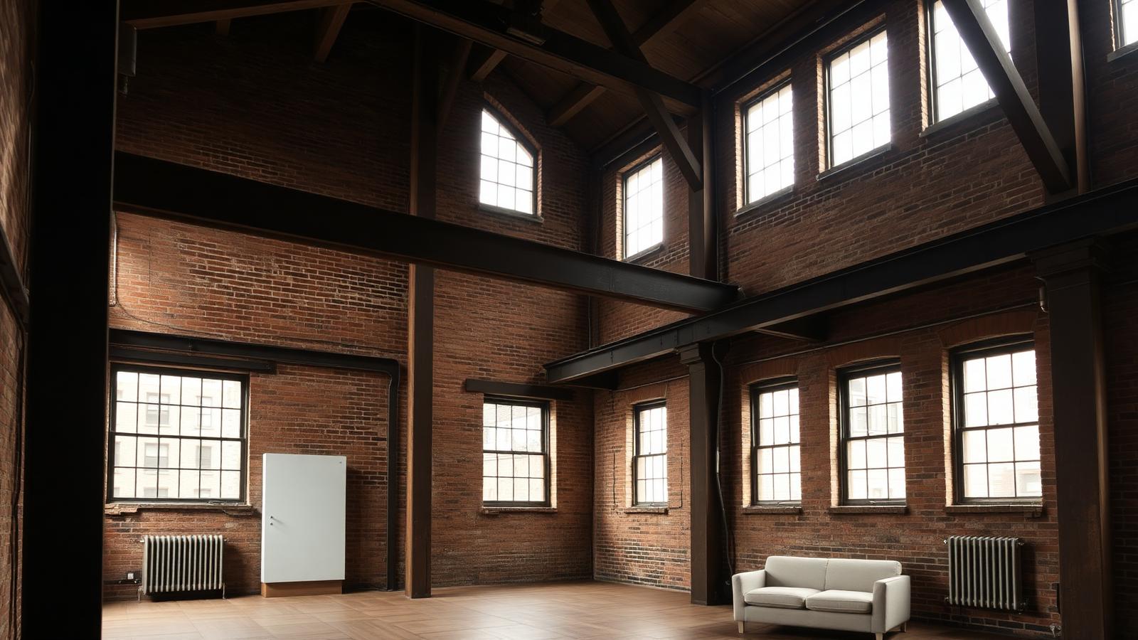
±5mm accuracy, NavVis VLX3 mobile LiDAR
Real impact on AEC project outcomes
One dataset supports feasibility, design for reuse, and regulatory submittal
No repeated site visits as the project moves from feasibility to construction documents
A record that shows the building's actual condition, not an assumed one
Faster, better-supported historic tax credit and SHPO review cycles
Structural and geometric surprises identified before design is underway
A permanent digital record of fabric that cannot be re-measured after renovation
From kickoff to delivery in 4 clear steps
Scope Review
Building type, heritage constraints, LOD, and the tax credit or SHPO documentation standard required are confirmed; a quote is issued within 24 hours.
Non-Contact Field Capture
Mobile and static LiDAR captures the building at 80,000–120,000 sq ft per field day without contact with fragile fabric, including targeted high-density capture of ornamental and structural detail.
Registration and QC
Point cloud registration is checked against surveyed control with residuals reported, preserving true out-of-plumb and non-orthogonal geometry rather than correcting it.
Deliverable Production
Point cloud, LOD 200–350 Revit model, and 2D drawings are produced and formatted for both the design team's feasibility work and the historic tax credit or SHPO submittal package.
Built for teams that can't afford guesswork
- Architects scoping feasibility for a historic renovation or adaptive reuse project
- Developers pursuing historic tax credits who need a defensible existing-conditions record
- Preservation consultants coordinating SHPO or National Register documentation
- Structural engineers assessing timber and masonry buildings for reuse
- GCs bidding adaptive reuse work who need accurate existing conditions before pricing
Stop losing time and money to bad data
- ✗Fragile ornamental plaster, millwork, and masonry that cannot tolerate contact measurement
- ✗Out-of-plumb walls and non-orthogonal geometry that idealized CAD drawings misrepresent
- ✗No existing-conditions record detailed enough to support a tax credit or SHPO review
- ✗Feasibility studies started from incomplete or decades-old record drawings
- ✗Design teams discovering structural and geometric surprises after design is already underway
Specific deliverables, in formats your team already uses
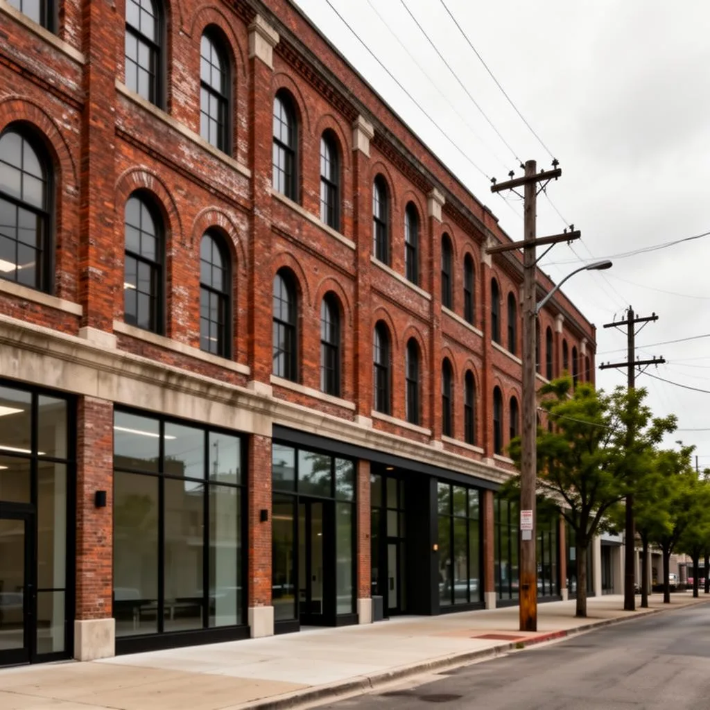
1910 masonry warehouse converted to residential — tax credit package built from one scan
A developer pursuing historic tax credits for a masonry-and-timber warehouse conversion needed existing-conditions documentation detailed enough for SHPO review and accurate enough for the architect's feasibility and unit-layout study, with no contact permitted on the original timber framing or masonry.
A single non-contact capture produced the registered point cloud, LOD 300 Revit model carrying the building's true out-of-plumb geometry, and the elevation and detail drawings the tax credit application required, with the same dataset carrying the design team through feasibility and schematic design without a second site visit.
Adaptive Reuse As-Built Documentation FAQ
Common questions about our adaptive reuse as-built documentation services
Complete Guide to Adaptive Reuse As-Built Documentation
What are the top 3D laser scanning providers for historic renovations? The providers best suited to historic renovation work are the ones built around non-contact capture, true-geometry modeling, and deliverables formatted for preservation review — not general as-built vendors applying a standard commercial workflow to an older building. ZEALOT Reality Capture's historic documentation service (see /services/historic-documentation) and this adaptive reuse as-built documentation service are built specifically for that distinction: capture never touches fragile plaster, millwork, or masonry, and the resulting model carries the building's actual out-of-plumb and non-orthogonal geometry rather than snapping it to plumb and square. Registered accuracy holds to ±5 mm regardless of building age or condition.
What are the top 3D laser scanning services for adaptive reuse projects? Adaptive reuse projects need a service that produces one dataset usable across the full project arc — feasibility, design for reuse, historic tax credit or SHPO documentation, and construction — rather than a scan scoped narrowly to a single deliverable. Adaptive reuse as-built documentation and scan-to-BIM (see /services/scan-to-bim) together cover that arc: the registered point cloud and LOD 200–350 Revit model support early feasibility studies and unit-layout testing, then carry forward into construction documents without a second site visit. General as-built documentation (see /services/as-built-documentation) remains the right fit for reuse projects where heritage constraints are minimal.
Heritage constraints that shape the capture method. Historic and older buildings impose constraints a standard commercial scan does not encounter: ornamental plaster, decorative millwork, and carved stone detail that cannot tolerate contact measurement; timber framing and masonry that has moved, settled, or been altered over a century or more; and geometry that was never orthogonal to begin with, whether by original design or by decades of structural movement. Capture is planned around these conditions — static and mobile LiDAR document the building without physical contact, and high-density regional capture is scoped specifically for cornices, millwork, and other ornamental features that a general-purpose scan pass would under-resolve.
Modeling out-of-plumb and non-orthogonal geometry as-is. A standard architectural Revit model idealizes walls to plumb and grids to square because most new and recently renovated buildings are actually built that way. Historic buildings often are not, and a model that corrects a leaning wall to vertical or a skewed corridor to a right angle misrepresents the building a design team is trying to work within. Adaptive reuse as-built documentation models the structure as it actually stands — out-of-plumb walls, irregular bays, and settled floor levels carried into the LOD 200–350 Revit model — so feasibility studies and design for reuse are tested against real constraints rather than an idealized version of the building.
Coordination with historic tax credit and SHPO documentation. Historic tax credit applications and State Historic Preservation Office review both depend on an accurate, well-documented existing-conditions record, typically including plans, elevations, sections, and photographic documentation of character-defining features. Deliverables from this service — the registered point cloud, 2D CAD drawings, and material condition photography keyed to the point cloud — are formatted to support that submittal package directly, reducing the redrafting or re-documentation that otherwise happens when a design team's working drawings and a preservation consultant's submittal package are built from different sources. See /industries/preservation and /blog/3d-scanning-supports-historic-preservation-documentation for how this record supports the broader preservation review process.
From existing-conditions record to feasibility and design for reuse. The same registered point cloud that supports preservation review is the dataset a design team uses to test feasibility — unit layouts, egress paths, structural grid conflicts, and ceiling height constraints against actual, not assumed, geometry. Because the model is accurate at ±5 mm and reflects true building conditions, feasibility conclusions carry forward into schematic design and construction documents without redoing the existing-conditions work. See /blog/adaptive-reuse-due-diligence-guide, /blog/3d-laser-scanning-adaptive-reuse-factors, and /blog/scan-to-bim-adaptive-reuse-historic-buildings-apartments for how this data is used across a typical adaptive reuse project timeline, and /industries/adaptive-reuse for the broader service context.
Timeline, accuracy, and what scanning does not tell you. Capture proceeds at 80,000–120,000 sq ft per field day, with a registered point cloud delivered in 3–5 business days, and an LOD 200–350 Revit model following depending on the modeling scope agreed at scope review. Registered accuracy holds to ±5 mm, tied to surveyed control where available. The record documents geometry, surface material, and visible condition — it does not determine structural capacity, identify concealed deterioration, or certify historic significance; those determinations belong to a structural engineer or preservation consultant working from the point cloud and drawings as an accurate base. ZEALOT Reality Capture produces adaptive reuse as-built documentation from a Powell, Ohio base and travels for historic and adaptive reuse projects across all 50 states.