Professional Digital Twin Services
Walk your building from any browser — a measurable digital twin built from ±5mm laser scan data, linked panoramas, and an optional BIM model your whole team can work from.
TL;DR: A building digital twin combines a ±5mm registered point cloud, 360° panoramic imagery captured every 2–3 meters, and an optional Revit model into one navigable digital copy. Capture happens in a single scanning session at 80,000–120,000 sq ft per field day.
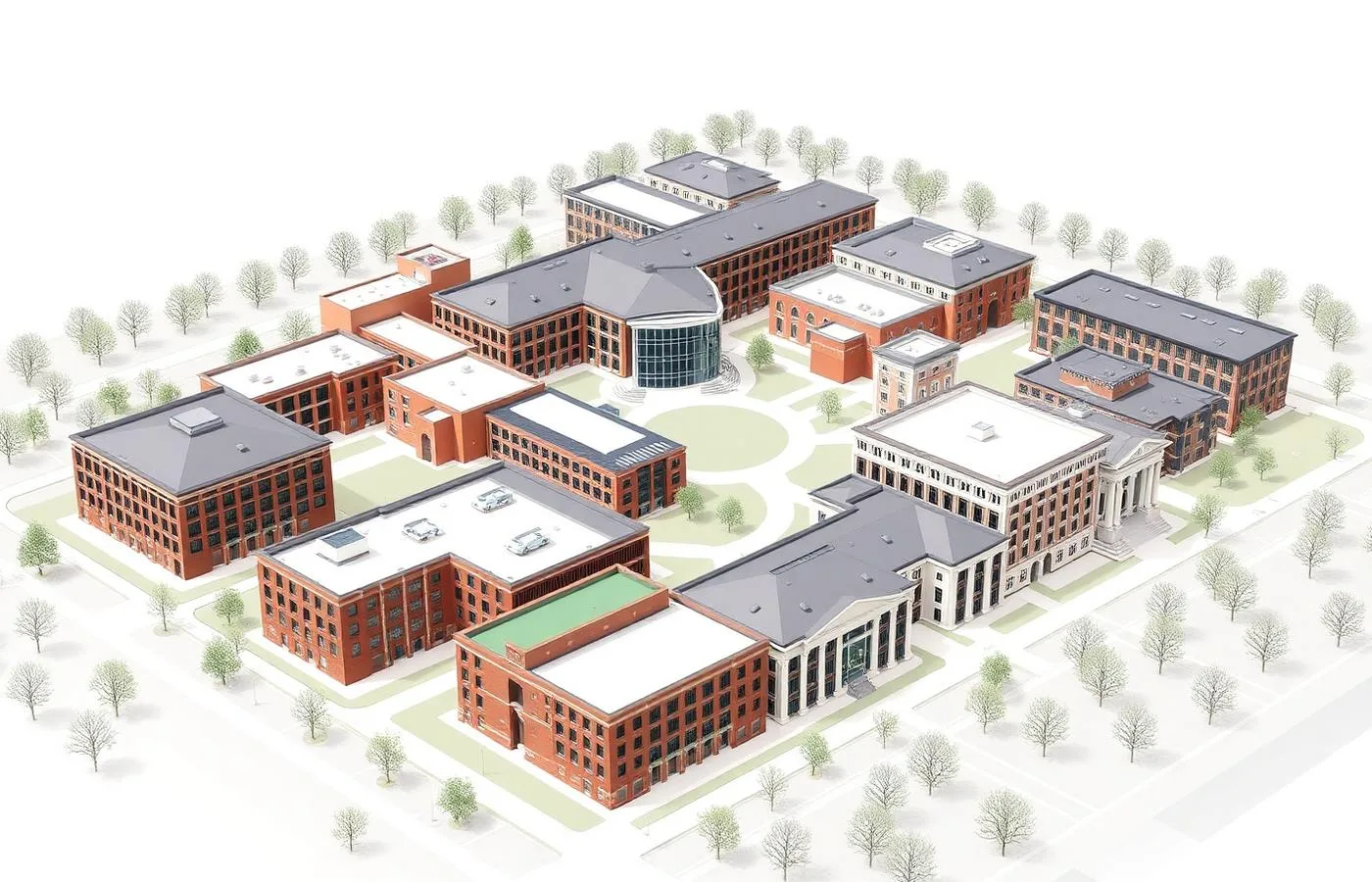
Digital Twin Services, explained simply
A digital twin is a navigable, measurable 3D copy of your real building. We capture it with mobile LiDAR and panoramic cameras in one visit, then deliver it as a browser-based environment where you can walk the space, take dimensions, and share views — no software installs, no site trips.
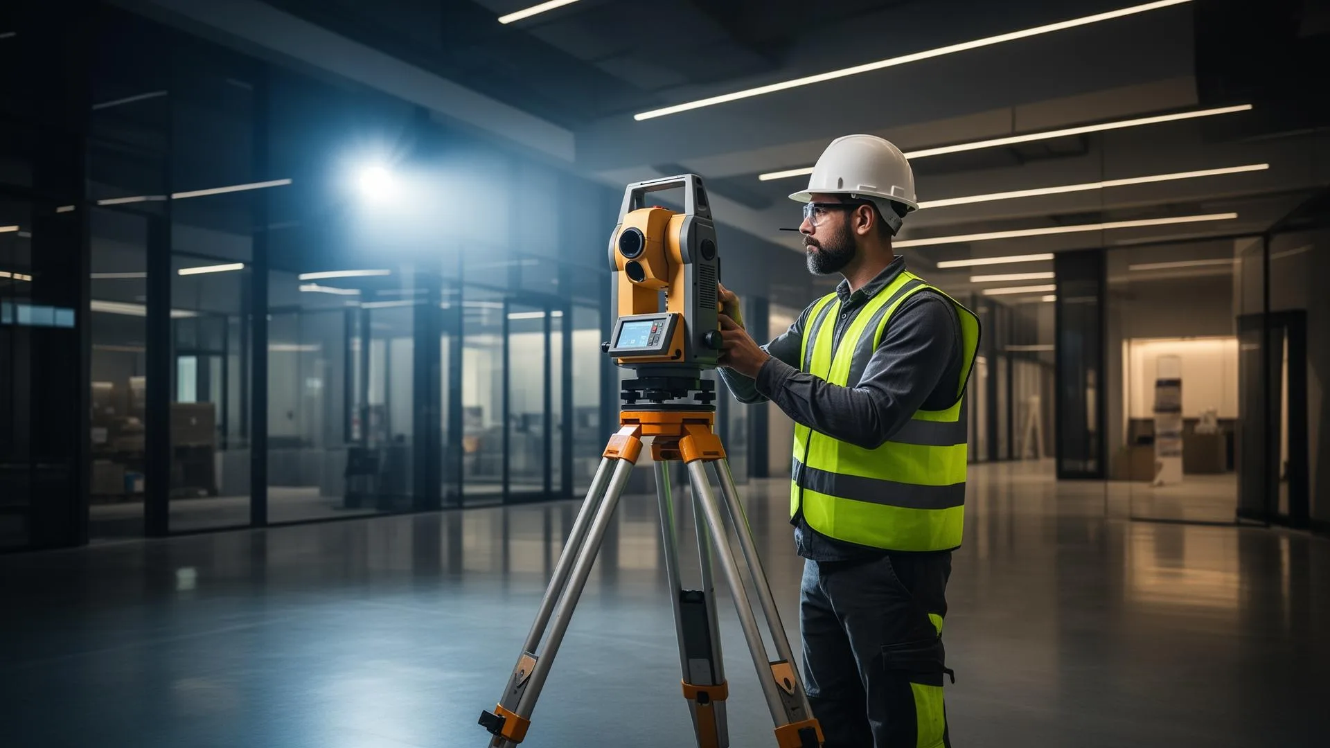
±5mm accuracy, NavVis VLX3 mobile LiDAR
Real impact on AEC project outcomes
Answer field questions without driving to the site
Give every stakeholder the same current record
Measure anything, anytime, from anywhere
Onboard contractors and staff with a virtual walk-through
Create a permanent baseline before renovations
Reduce site-visit travel by 50–80%
From kickoff to delivery in 4 clear steps
Scope
We define coverage, accuracy needs, and whether the twin includes a BIM model.
Capture
One site visit: mobile LiDAR and panoramic capture at walking pace.
Assembly
Registration, QA, and linking of point cloud, imagery, and any model into the twin.
Handoff
Browser access for your team, plus the underlying E57/RCP data — it's yours.
Built for teams that can't afford guesswork
- Facility managers who need the building at their desk
- Owners planning phased renovations or capital projects
- Design teams verifying conditions without site visits
- Brokers and developers presenting space remotely
- Operations teams onboarding staff and contractors
Stop losing time and money to bad data
- ✗Repeat site visits for questions a viewer could answer
- ✗Institutional knowledge that lives in one person's head
- ✗Drawings that show design intent, not reality
- ✗Stakeholders who can't read point clouds or Revit
- ✗Space decisions made from photos and memory
Specific deliverables, in formats your team already uses
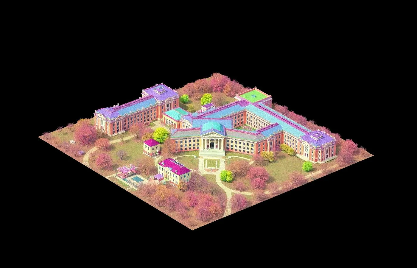
12-building campus — one federated digital twin
A university needed its facilities team, planners, and outside architects working from the same current record across 480,000 sq ft of buildings captured in nine days.
The federated dataset — point clouds, panoramas, and per-building LOD 200 models on one coordinate system — replaced scattered PDFs, flagged 19 non-compliant ramps for the ADA program, and cut an estimated $85,000 in repeat field-verification trips.
Digital Twin Services FAQ
Common questions about our digital twin services services
Industries We Serve
See how digital twin services benefits different industries
Complete Guide to Digital Twin Services
Digital twin services for buildings have moved from buzzword to practical facility tool. A building digital twin is a navigable digital copy of a physical structure — built from laser scan data rather than design drawings, so it reflects the building as it actually exists. Unlike a static drawing set, a digital twin is measurable: any wall, clearance, or ceiling height can be dimensioned directly in a browser with survey-grade confidence.
ZEALOT Reality Capture builds digital twins from ±5mm registered point cloud data captured with NavVis VLX3 mobile LiDAR. Panoramic imagery is captured every 2–3 meters simultaneously with the geometry, which means the twin is assembled from a single scanning session — most commercial buildings are captured in one visit at 80,000–120,000 square feet per field day. There is no separate photography pass and no return trip.
The practical difference between a digital twin and a Matterport-style tour is the data underneath. A visual tour answers what a space looks like; a digital twin built on survey-grade LiDAR answers exactly how big everything is. When a facilities team needs to confirm whether new equipment fits through a corridor, or an architect needs a plenum depth, the twin returns a real measurement rather than an approximation.
Digital twins earn their keep across the building lifecycle: as the existing-conditions baseline before a renovation, as the coordination reference during construction, and as the operations record afterward. Because the underlying point cloud is delivered in open formats (E57, RCP), the same dataset that powers the twin also feeds Revit modeling, floor plan production, and future comparisons after the building changes.
ZEALOT Reality Capture delivers digital twin services across Ohio and the Midwest from our Powell, Ohio base, and travels nationwide for campus and portfolio programs. If your team is weighing a digital twin against a simple photo tour or a full BIM model, we'll walk you through what each actually answers — and quote only what your decisions require.