TL;DR
TL;DR: A building digital twin = ±5mm point cloud + 360° panoramas (captured together in one visit at 80,000–120,000 sq ft/day) + optional Revit model, assembled into a measurable browser environment. Unlike photo tours, every dimension is survey-grade — and you own the underlying open-format data.
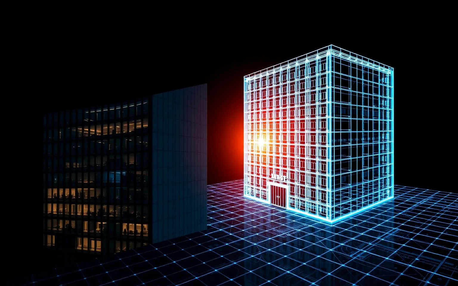
Strip the buzzwords and a building digital twin is simple: a navigable, measurable digital copy of a real building, built from captured data rather than design drawings. Ours combine three layers — a ±5mm registered point cloud, 360° panoramic imagery captured every 2–3 meters, and an optional Revit model — into one browser-based environment where anyone on your team can walk the building and pull real dimensions. No installs, no CAD seats, no site visit.
What does a building digital twin actually contain?
Three layers, each doing a different job:
- The point cloud — survey-grade geometry from laser scanning. This is what makes the twin *measurable*: every dimension pulled from it carries ±5mm confidence, verified against control.
- Panoramic imagery — 360° photos anchored to scan positions, captured in the same session. This is what makes the twin *navigable* for humans: you walk it like a street-view of your own facility.
- The BIM model (optional) — Revit geometry at LOD 200–300 layered on the cloud, giving the twin intelligent objects: spaces, systems, assets. Without it you have a measurable record; with it you have a queryable one.
Capture is a single site visit at 80,000–120,000 sq ft per field day — geometry and panoramas together, no separate photography pass. Full details on the digital twin services page.
How is a digital twin different from a Matterport tour?
The data underneath. A Matterport-style tour answers *what does this space look like*; a LiDAR-based twin answers *exactly how big is everything* — with accuracy a professional can stake a decision on. When a facilities engineer needs to confirm new equipment clears a corridor, the twin returns a measurement, not an approximation. Our Matterport vs. LiDAR breakdown draws the line precisely; the one-sentence version is *viewed by people → photo tour; measured by professionals → twin*.
The other difference is ownership: our twins sit on open-format data (E57/RCP) delivered to you. The same dataset that powers the viewer also feeds floor plans, models, and future comparisons — you're not renting your building back from a platform.
Who actually gets value from a digital twin?
- Facility teams answer field questions from a desk — no drive, no escort, no ladder. On our 12-building university twin, the federated dataset replaced scattered PDFs, flagged 19 non-compliant ADA ramps, and cut an estimated $85,000 in repeat verification trips.
- Owners and developers get a permanent baseline before and after renovations — and a persuasive way to present space remotely with virtual tours.
- Design teams verify conditions without site visits, reducing travel by 50–80% on distributed projects.
- Operations onboard contractors and staff with a virtual walkthrough instead of a guided one — especially valuable in hospitals and data centers where every escorted visit costs staff time.
What does it cost to create a digital twin?
The twin is mostly capture economics: scanning runs $0.05–$0.20 per square foot for the cloud and panoramas, hosting adds an ongoing component, and the optional Revit layer prices by LOD and discipline. Because panoramas ride along with the scan, a twin costs little more than the documentation you were already buying — the value is in assembling it into something the whole organization can use.
Does a digital twin stay current?
Only if you update it — a twin is a record, not a live feed, unless sensors are added (a separate conversation for most buildings). The practical pattern: rescan changed areas after renovations, or annually for active facilities, and refresh the twin on its existing coordinate system. Recurring capture programs make this routine. The building changes; the twin keeps up; the archive keeps every prior state for comparison.
If you're weighing a twin against a simple photo tour or a full BIM program, talk it through with us — we'll tell you plainly which layer your decisions actually require, and quote only that.