TL;DR
TL;DR: Reality capture records a building as measurable digital data — LiDAR laser scanning (±5mm point clouds at 80,000–120,000 sq ft/day) plus 360° photography. Floor plans, Revit models, and digital twins are all products extracted from it. Scanning runs $0.05–$0.20/sq ft; use it whenever decisions depend on what actually exists.
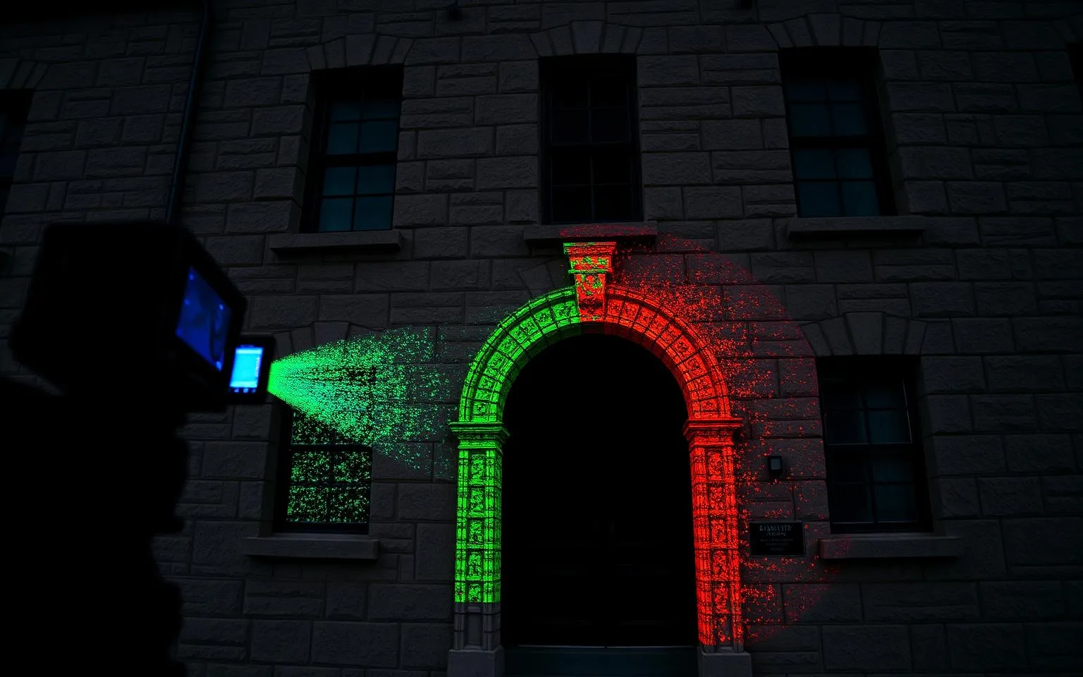
Reality capture is the process of recording a physical place — a building, a plant, a site — as accurate digital data. In practice that means 3D laser scanning (LiDAR) and photography, combined into a measurable dataset: a point cloud, panoramic imagery, and the drawings or models extracted from them. If you have ever been handed a 40-year-old drawing set that doesn't match the building, reality capture is the industry's answer to that problem.
What does "reality capture" actually mean?
The term covers any technology that measures the real world into digital form, but in the building industry it almost always means two things working together:
- LiDAR scanning — a scanner emits laser pulses and measures the return distance to every visible surface, producing a point cloud: millions of measured points that together form a precise 3D record. Modern mobile scanners like the NavVis VLX3 capture at walking pace, covering 80,000–120,000 sq ft per field day at ±5mm registered accuracy.
- Panoramic photography — 360° images captured alongside the geometry, so every measurement has visual context. On our projects, panoramas are captured every 2–3 meters of walked path in the same session as the scan.
Everything else you hear about — scan-to-BIM, floor plans from scans, digital twins — is a *product made from* reality capture data, not a separate capture technology.
What deliverables does reality capture produce?
The raw output is the registered point cloud, delivered in open formats (E57, RCP, LAS). From it, providers extract whatever your project consumes:
- [2D floor plans, sections, and elevations](/services/floor-plans) in AutoCAD — the workhorse deliverable for renovation design and permitting.
- [Revit models](/services/scan-to-bim) at LOD 200–350 — parametric BIM for coordination and clash detection.
- [As-built documentation packages](/services/as-built-documentation) — the point cloud, panoramas, and models bundled as a permanent facility record.
- [Browser-hosted viewing](/services/point-cloud-hosting) — the same data made navigable and measurable from a link, no CAD software required.
A useful rule from our deliverable-choosing guide: decide what your downstream workflow consumes *before* you buy, because the point cloud is the cheap part — modeling labor drives most documentation budgets.
When should a project use reality capture?
Whenever decisions depend on what actually exists. The classic triggers:
- Renovation or adaptive reuse — drawings are missing or wrong, and design needs true conditions. See how this played out in a warehouse-to-lofts conversion.
- MEP retrofits — as-installed systems never match design drawings, and every deviation is a potential clash. Above-ceiling scanning documents what's really in the plenum.
- Construction verification — recurring progress scans create dated, measurable records before work gets covered up.
- Facility management — one accurate dataset replaces the archive of contradictory PDFs. A 12-building university campus we captured cut renovation planning time by 40%.
- Documentation for risk — condition records for insurance and disputes, and preservation-grade archives for historic structures.
How is reality capture different from just taking photos?
Photos show; scans measure. A photograph of a mechanical room tells you what it looks like; a point cloud tells you the duct is 9'-4" above the slab and 14 inches from the wall — with survey-grade confidence. Photo-based tours (Matterport-style) approximate geometry well enough for marketing walkthroughs, but professional decisions — fabrication, clash detection, structural assessment — need measured data. Our Matterport vs. LiDAR comparison covers exactly where that line falls.
What does reality capture cost?
For most commercial buildings, scanning and a registered point cloud run $0.05–$0.20 per square foot, with site access conditions the biggest driver. Extracted deliverables — plans, models — are priced on top. Regional projects avoid the travel costs that force fly-in providers into minimums, which is why we publish drive times from our Ohio headquarters instead of vague coverage claims.
How do you get started with reality capture?
Send the address, the rough square footage, and what decision the data needs to support. A good provider will scope backward from that decision — recommending only the deliverables your workflow will actually consume — and return a fixed quote. Ours come back within one business day.