Professional Interactive 3D Virtual Tours
Give owners, tenants, and project teams a click-through walk of your building — panoramas anchored to survey-grade geometry, so every view is also a measurement.
TL;DR: Our virtual tours are built from 360° panoramas captured every 2–3 meters during a LiDAR scan, anchored to a ±5mm point cloud. A web link opens the walk-through; measurements come free because the geometry underneath is survey-grade.
Interactive 3D Virtual Tours, explained simply
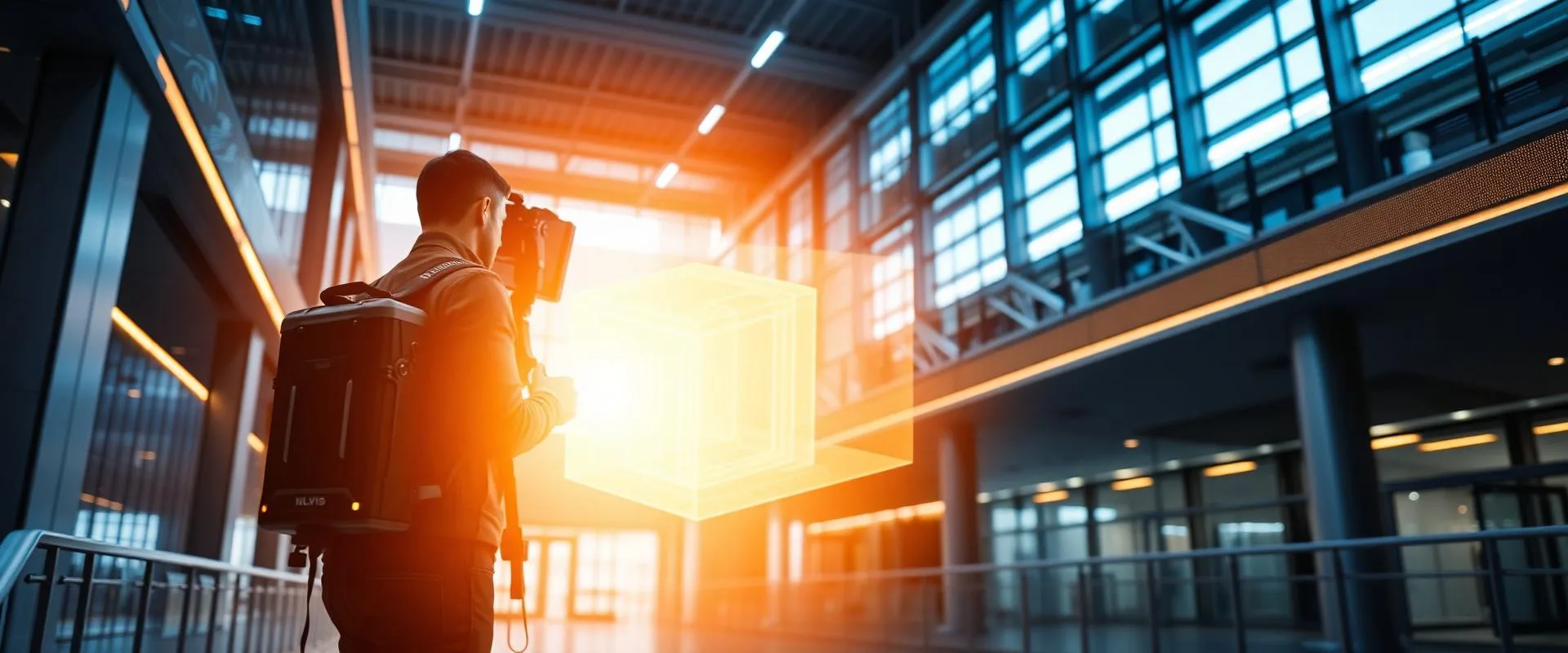
As we scan a building, we capture 360° imagery continuously. The result is an interactive tour — click through the space like street view — where every panorama is pinned to accurate 3D geometry. Viewers can look, walk, and measure from any browser.
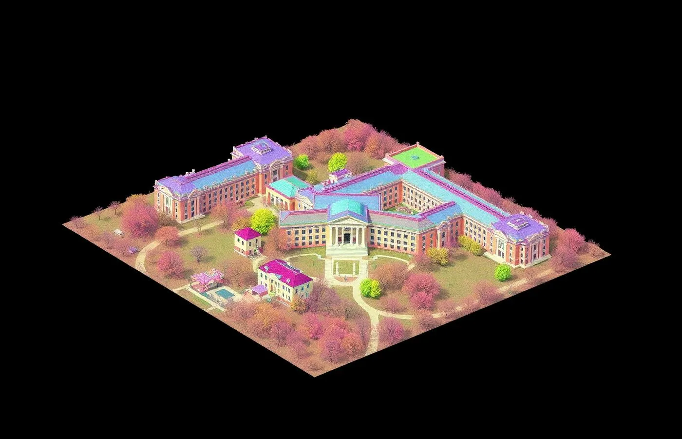
±5mm accuracy, NavVis VLX3 mobile LiDAR
Real impact on AEC project outcomes
Cut verification travel by 50–80%
Let any stakeholder walk the site, anytime
End 'what does it look like there?' email chains
Document condition for leasing, insurance, disputes
Add tours to any scan project for minimal extra field time
Keep design moving between site visits
From kickoff to delivery in 4 clear steps
Plan
We map the capture route to cover every space the tour needs to show.
Capture
Panoramic imagery records continuously during the LiDAR walk — one visit.
Link
Panoramas are registered to the point cloud so views become measurable.
Share
Your team gets a web link; access stays live for the project duration you choose.
Built for teams that can't afford guesswork
- Architects reducing verification site visits
- Brokers and owners marketing space remotely
- GCs briefing subs before mobilization
- Insurers and lenders documenting condition
- Franchise and multi-site teams reviewing locations
Stop losing time and money to bad data
- ✗Half-day site trips for five-minute questions
- ✗Photos that never show the angle you need
- ✗Out-of-state stakeholders who can't visit
- ✗Condition disputes with no dated record
- ✗Endless email threads a walk-through would end
Specific deliverables, in formats your team already uses
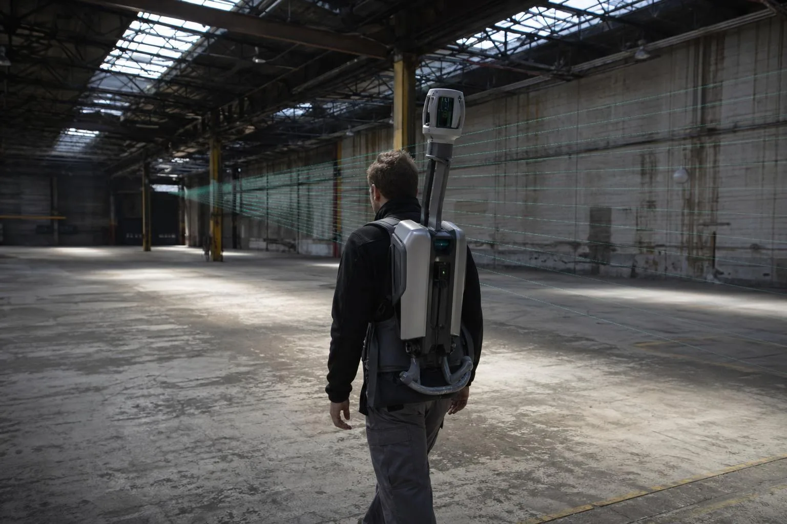
180,000 sq ft downtown block — 14 site visits replaced
A development team and their out-of-town consultants needed constant access to six connected historic buildings during design.
The 2,000+ panorama tour linked to the registered point cloud replaced 14 planned site visits by the architect and MEP team — roughly $18,000 in travel and time — and settled material and layout questions the day they were asked.
Interactive 3D Virtual Tours FAQ
Common questions about our interactive 3D virtual tours services
Industries We Serve
See how interactive 3D virtual tours benefits different industries
Complete Guide to Interactive 3D Virtual Tours
Interactive 3D virtual tours have become standard practice for teams that manage, design around, or market buildings — but not all tours are built the same. A camera-only tour shows what a space looks like. A tour built during a laser scanning session is anchored to survey-grade geometry, which means the same walk-through that orients a stakeholder can also answer dimensional questions with ±5mm confidence.
ZEALOT Reality Capture builds virtual tours as a byproduct of mobile LiDAR capture: 360° panoramas are recorded every 2–3 meters as our operator walks the building, then linked to the registered point cloud during processing. On a recent 180,000 square foot downtown documentation project, that meant more than 2,000 panorama positions across six connected buildings — captured in the same six field days as the scan itself, with no separate photography visit.
The measurable payoff is travel you stop doing. Architects using linked panorama tours on our projects routinely cut field verification trips by half or more, because corridor widths, ceiling conditions, panel locations, and finish questions get answered in the viewer. On occupied or distant buildings, that difference compounds every week of design.
Virtual tours also serve as dated condition records. For leasing, insurance documentation, move-in/move-out records, and pre-construction baselines, a timestamped panoramic record tied to measurable geometry is far stronger evidence than a photo folder — and far easier to navigate months later.
Because tours ride along with scanning, the most economical path is bundling: add tour capture to a floor plan, as-built, or scan-to-BIM project and the additional field cost is minimal. ZEALOT Reality Capture delivers interactive 3D virtual tours across Ohio and the Midwest, and nationwide for multi-site programs.