TL;DR
A 3D virtual tour lets anyone with a link walk through a building from a browser — no app, no site visit, no software install. What makes a laser-scan-based tour different from a typical camera tour is what's underneath it: every panorama is pinned to a ±5mm registered point cloud, captured every 2–3 meters of walked path during the same scanning session used for any other deliverable. That means the tour isn't just a picture of the space — it's a measurable one.
A 3D virtual tour lets anyone with a link walk through a building from a browser — no app, no site visit, no software install. What makes a laser-scan-based tour different from a typical camera tour is what's underneath it: every panorama is pinned to a ±5mm registered point cloud, captured every 2–3 meters of walked path during the same scanning session used for any other deliverable. That means the tour isn't just a picture of the space — it's a measurable one.
How does a virtual tour actually get built?
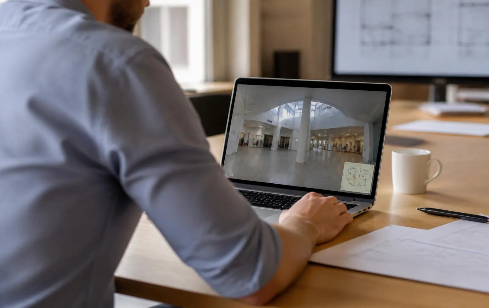
As our operator walks a building with a mobile LiDAR scanner, a 360° camera captures continuously alongside it — one visit, two datasets. During processing, each panorama gets registered to its exact position in the point cloud, so navigating the tour and navigating the scan are the same underlying geometry viewed two different ways. The result is delivered as a web-hosted link: click through the space, look in any direction, and jump between capture positions like walking the halls yourself.
Can you actually measure inside it?
Yes — this is the real difference between a scan-based tour and a photo-only one. Because the panoramas sit on top of survey-grade geometry rather than floating independently, the viewer supports in-tour measurement: corridor widths, ceiling heights, door openings, clearances. A stakeholder who needs to know "will the new equipment fit through that opening" can answer it themselves, in the tour, without a phone call.
What problem does this actually solve?
| Without a tour | With a scan-based tour |
|---|---|
| A half-day site trip to answer a five-minute question | Answered in the browser, same day it's asked |
| Photos that never show the angle you actually need | Full 360° coverage at every capture position |
| Out-of-state stakeholders who simply can't visit | Anyone with the link walks the site remotely |
| Condition disputes with no dated visual record | A timestamped, measurable record of exact condition |
| Long email threads a walk-through would end in minutes | Questions get answered by looking, not asking |
A real project: 14 site visits replaced
A development team and their out-of-town consultants needed constant access to six connected historic buildings — 180,000 sq ft — during design. We captured more than 2,000 panorama positions across the block, linked to the registered point cloud, in the same field days as the scan itself. That tour replaced 14 planned site visits by the architect and MEP team — roughly $18,000 in travel and time — and settled material and layout questions the same day they came up, instead of waiting for the next visit.
Who actually uses a virtual tour?
- Architects and engineers — reducing repeat verification trips during design
- Brokers and owners — marketing space remotely without staging a physical showing
- GCs — briefing subcontractors on conditions before they ever mobilize
- Insurers and lenders — documenting condition at a specific, dated point in time
- Franchise and multi-site teams — reviewing locations without a flight for each one
How is this different from Matterport?
The click-through experience looks similar to any 360° tour product on the market. The difference that matters is accuracy: a Matterport-class capture is built for visualization and typically holds around ±20mm. A tour built on the same LiDAR data as a construction-grade scan holds ±5mm — which is the difference between a tour that shows you the room and one that can tell you whether the room fits what you're planning to put in it. We wrote a full breakdown of Matterport vs. LiDAR laser scanning if that distinction matters to your project.
Does it cost a separate site visit?
No — that's the economics that make tours worth adding to almost any project. The panoramic camera captures during the same walk-through as the LiDAR scan, so a tour added to a floor plan, as-built, or scan-to-BIM project costs minimal extra field time. If your team is already commissioning a scan, a tour is close to free to add — and it's the deliverable most likely to get used by people who'll never open a point cloud or a Revit model.
How does the capture-to-delivery process actually work?
- Plan. We map the capture route to cover every space the tour needs to show — not just the obvious ones, but the corridors, mechanical rooms, and back-of-house areas someone will eventually ask about.
- Capture. Panoramic imagery records continuously during the LiDAR walk-through, in the same single visit as any other scan deliverable.
- Link. Panoramas are registered to the point cloud during processing, so what was a series of photos becomes a set of measurable, positioned views.
- Share. Your team receives a web link, with access live for as long as the project needs it.
What does the tour actually replace in day-to-day project life?
The honest answer is: a lot of small trips that add up. Cutting verification travel by half to four-fifths is typical once a tour is in place, because questions that used to require someone driving to the site — "what does that corner condition look like," "is there room for the new unit there," "what's the finish on that wall" — get answered by looking, in the viewer, the same day they're asked. That compounds fastest on occupied or distant buildings, where every avoided trip is real time and real travel cost, and it keeps design moving in the gaps between scheduled site visits rather than stalling until the next one.
Is a tour a one-time deliverable, or does it stay useful?
A tour delivered at one point in time is a permanent, dated record of exactly how the building looked that day — genuinely useful for leasing, insurance documentation, and move-in/move-out condition disputes well after the project that commissioned it ends. If the building changes and a fresh tour is wanted later, that's a new capture, not an update to the old one — which is exactly why the dated record has value: it's evidence of a specific moment, not a living document.