Professional Cloud Point Cloud & Panorama Hosting
Stop emailing 100 GB files. We host your registered point cloud and panoramas in a browser viewer your whole team can open, measure in, and share — no Revit or ReCap seats required.
TL;DR: We host your registered point cloud and 360° panoramas in a cloud viewer — clipped, streamed, and measurable from any browser. Typical project datasets run 25–150 GB; nobody on your team has to download or install anything to use them.
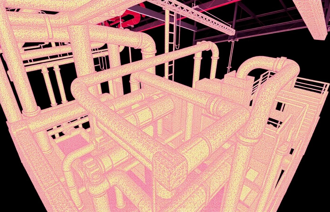
Cloud Point Cloud & Panorama Hosting, explained simply
Point cloud files are enormous — often 25–150 GB per building — and most stakeholders don't have the software or hardware to open them. Cloud hosting fixes that: we publish your scan data to a streaming viewer where anyone with the link can navigate, section, and measure it.
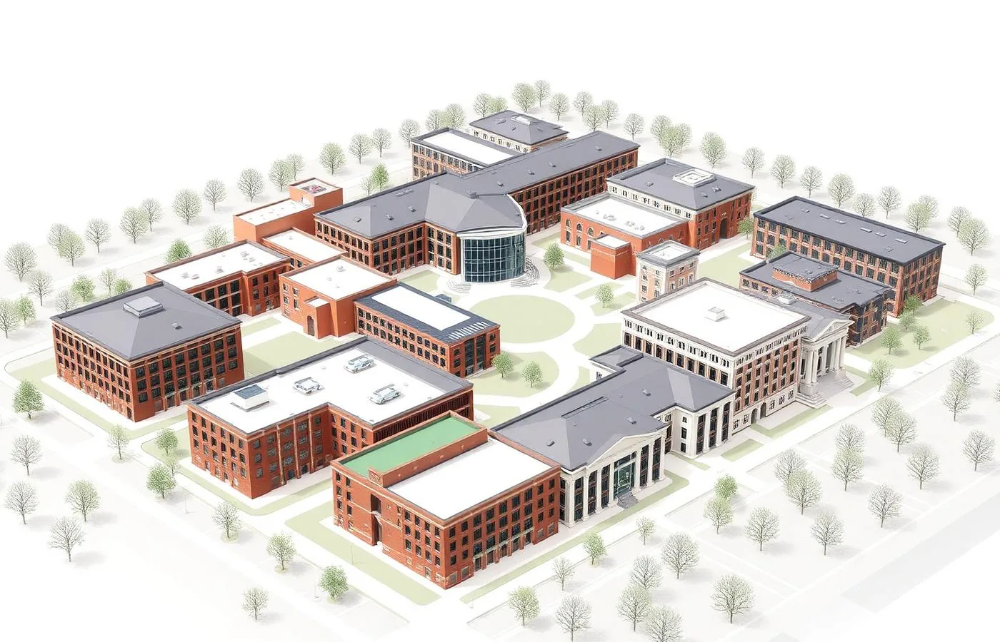
±5mm accuracy, NavVis VLX3 mobile LiDAR
Real impact on AEC project outcomes
Every stakeholder works from the same dataset
No software purchases to use your own data
Questions answered in minutes, not site visits
Scan data keeps producing value after delivery
Painless sharing with rotating subcontractors
One current source of truth per building
From kickoff to delivery in 4 clear steps
Capture or Import
We host data from our own scans — or registered clouds you already own.
Optimize
Clipping, tiling, and streaming preparation so big data loads fast.
Publish
Your project goes live in the viewer with the access rules you choose.
Support
We onboard your team and keep hosting live for the term you need.
Built for teams that can't afford guesswork
- Owners whose teams don't run CAD or BIM software
- GCs sharing conditions with a dozen subs at once
- Design teams collaborating across firms
- Facility managers using scans day-to-day
- Estimators pulling takeoff dimensions
Stop losing time and money to bad data
- ✗Datasets too large to email or download
- ✗Stakeholders locked out by software licensing
- ✗Workstations that choke on full-resolution clouds
- ✗Every consultant getting a different data copy
- ✗Scan data that gets delivered once and never used
Specific deliverables, in formats your team already uses

38,400 sq ft hospital wing — data everyone could open
A renovation team's nurses-station-by-nurses-station planning meant designers, the GC, and facilities all needed the scan — but only one seat of ReCap existed between them.
Room-level clipped clouds and corridor tiles in a hosted viewer meant no one loaded 100+ GB locally. The GC pulled diffuser counts, door schedules, and millwork lengths for preconstruction directly from the browser.
Cloud Point Cloud & Panorama Hosting FAQ
Common questions about our point cloud hosting services
Industries We Serve
See how point cloud hosting benefits different industries
Complete Guide to Cloud Point Cloud & Panorama Hosting
Point cloud hosting solves the most common failure mode of laser scanning projects: data that gets delivered and then never used. A registered point cloud for a commercial building typically runs 25–150 GB. Very few owners, and not many contractors, have both the software licenses and the workstation hardware to open files that size — so the most accurate record of the building ends up sitting on a drive.
Cloud-hosted delivery changes who can use scan data. ZEALOT Reality Capture publishes registered point clouds and linked 360° panoramas to a streaming browser viewer: the geometry loads progressively, measurements and sections run in the browser, and access is a link rather than an installation. A facilities coordinator, a millwork sub, and a structural engineer can all interrogate the same ±5mm dataset the same afternoon.
For project teams, hosting is a collaboration layer. Instead of shipping copies of a 100 GB E57 to every consultant — and losing track of which version each one has — the hosted project is the single source of truth. On our hospital renovation work, delivering room-level clipped clouds through a viewer is what let preconstruction quantity takeoffs happen directly from scan data, without a single full-dataset download.
Hosting never replaces ownership. Every hosted project is backed by open-format master files — E57 and RCP — delivered to you outright. If you change providers, drop hosting, or archive the project, the data remains fully yours and fully usable. We consider that non-negotiable, and we recommend requiring it of any provider you use.
Cloud point cloud and panorama hosting is available as an add-on to any ZEALOT scanning project, or as a standalone service for registered datasets you already own. If your last scan project produced files nobody opens, hosting is usually the least expensive way to turn that data back into a working asset.