TL;DR
TL;DR: Mobile LiDAR captures 80,000–120,000 sq ft per day at ±5mm — the right tool for whole-building as-builts and scan-to-BIM. Tripod scanners hold millimeter-class precision at 10,000–25,000 sq ft per day; reserve them for the zones that genuinely need it.
Use mobile LiDAR when you are documenting whole buildings — large square footage, many rooms, occupied space, tight schedule — and ±5mm accuracy meets your spec. Use a terrestrial tripod scanner when a smaller area demands millimeter-class precision: structural deformation studies, facade documentation for fabrication, or survey-control-tied monitoring. For the as-built and scan-to-BIM work that makes up most commercial scanning, mobile capture wins on speed by roughly a factor of five to ten, and its accuracy is sufficient for Revit modeling at LOD 200–350. The rest of this article puts real numbers behind that verdict.
What's the difference between mobile and terrestrial laser scanning?
Both methods produce the same core deliverable — a registered point cloud in formats like E57 or RCP — but they capture it in fundamentally different ways.
A terrestrial laser scanner (TLS) sits on a tripod. It spins a mirror and captures everything visible from one fixed position, then the operator picks it up, moves it, levels it, and scans again. A building becomes dozens or hundreds of individual "setups" that software later stitches (registers) together, often with checkerboard targets or spheres placed through the space. Each setup takes roughly 2–5 minutes of scan time plus repositioning, and every wall, column, and doorway creates shadows that force additional setups.
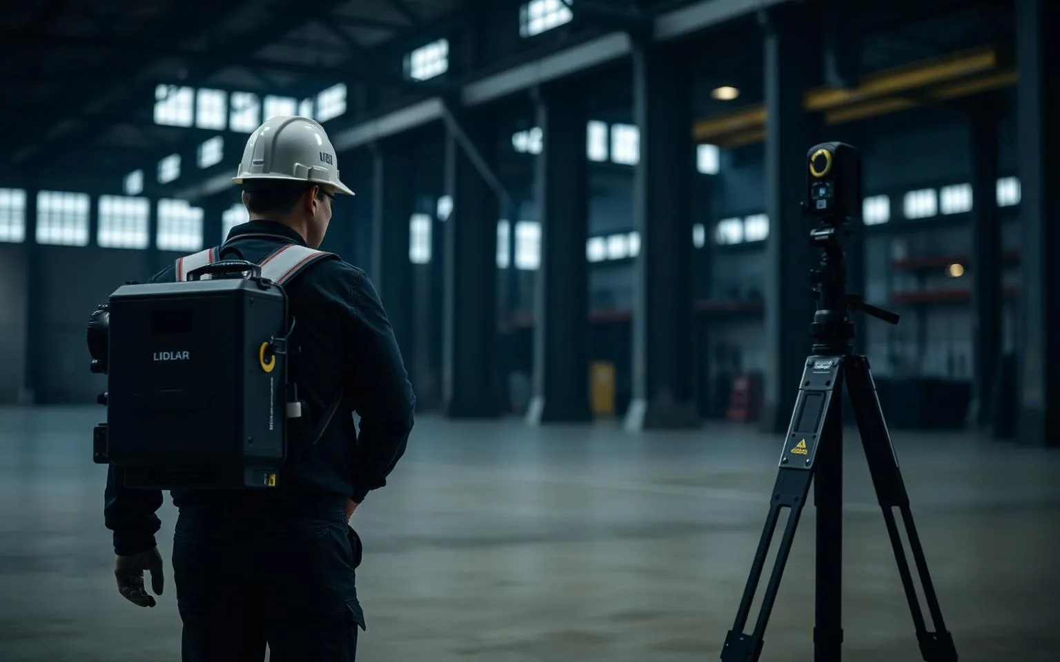
A mobile mapping system like the NavVis VLX3 we operate captures continuously while the operator walks. Dual 32-layer LiDAR sensors sweep the space from a wearable frame, and SLAM (simultaneous localization and mapping) software fuses the moving sensor data into one coherent cloud, aided by an IMU and camera imagery. There are no setups and no per-position registration; walking a corridor once captures the corridor. We covered the capture workflow in detail in our NavVis VLX3 walking-pace capture article.
The practical consequence: TLS accuracy is limited mainly by the instrument (excellent — millimeter class), while mobile accuracy is limited mainly by the SLAM solution (very good — ±5mm for the VLX3 in typical building environments). TLS speed is limited by setup count; mobile speed is limited only by how fast a person can walk the floor plate.
How much faster is mobile LiDAR, really?
Enough that it changes what projects are economically feasible. Numbers from our own project log:
- A 120,000 sq ft hospital wing, fully occupied, captured in two overnight sessions — roughly 60,000 sq ft per shift.
- An 8-floor 1970s office tower scanned in 3 days, all floors, for BOMA leasing plans.
- Typical commercial interiors: 80,000–120,000 sq ft per day of walking-pace capture in open-to-moderate density space.
A tripod crew on the same buildings moves at a different order of magnitude. Working efficiently with a fast modern scanner, one operator completes roughly 60–90 setups per day. In a partitioned office or corridor-heavy hospital — where every room needs at least one setup — that translates to about 10,000–25,000 sq ft per day. The hospital wing above would have been a two-to-three-week field effort instead of two nights.
Field time drives more than the scanning line item. It multiplies escorts, badging, off-hours premiums, lift rentals, and — on occupied sites — disruption. It also drives revisit risk: the longer capture takes, the more the building changes underneath you. This is the same math that led us to write why mobile LiDAR beats traditional surveying for field measurement generally.
When does a terrestrial tripod scanner win?
Honestly, in several situations — and a provider who never says so is selling a tool rather than a result.
- Millimeter-accuracy specifications. Survey-grade TLS units deliver ranging accuracy in the 1–2mm class per setup. If your spec calls for USIBD LOA40+ tolerances, structural deformation monitoring, flatness analysis of slabs, or dimensioning for off-site steel fabrication, the tripod is the right instrument. Mobile SLAM at ±5mm is not the tool for measuring a 3mm deflection.
- Long-range exterior and facade work. A tripod scanner reaches hundreds of meters with high precision, capturing a full facade or a bridge from a handful of positions. Mobile systems are optimized for the 0–50m envelope of building interiors.
- Small, dense, high-stakes areas. A single mechanical room feeding a prefabrication effort may justify tripod capture: few setups needed, and the tighter noise floor pays off in spool drawing confidence.
- Legal and monitoring baselines. When two scans will be compared over time (settlement, movement, pre/post construction), the repeatability of static capture tied to survey control is the defensible choice.
- Featureless or highly repetitive geometry. SLAM algorithms localize against geometry. Long, perfectly uniform tunnels or vast empty slabs with no vertical features can degrade a SLAM solution; a tripod does not care.
What TLS gives up for that precision is time — and on most whole-building projects, time is the budget.
Which method should you choose? A decision matrix
| Criterion | Mobile LiDAR (NavVis VLX3) | Terrestrial tripod (TLS) |
|---|---|---|
| Point cloud accuracy | ±5mm (typical building environments) | 1–2mm class per setup |
| Interior throughput | 80,000–120,000 sq ft/day | 10,000–25,000 sq ft/day |
| Occupied-space suitability | Excellent — walk-through capture, minimal disruption | Fair — tripods block corridors, setups interrupted by traffic |
| Complex, room-dense layouts | Strength — no setup penalty per room | Weakness — every room adds setups |
| Long-range exterior / facade | Limited (interior-optimized range) | Strength — hundreds of meters |
| Deformation / monitoring surveys | Not appropriate | The standard tool |
| Registration effort | SLAM-based, largely automated | Target placement + setup registration labor |
| Cost implication | Lower on large interiors — field time is the driver | Lower on small precise areas; costly at building scale |
| Typical deliverable fit | As-builts, floor plans, scan-to-BIM LOD 200–350 | Fabrication dimensioning, LOA40+, monitoring |
The pattern behind the table: choose by square footage and tolerance. Big area + architectural tolerance = mobile. Small area + engineering tolerance = tripod.
Can you combine both methods on one project?
Yes, and hybrid capture is common on projects with mixed requirements. A typical split: mobile LiDAR captures the full interior for the as-built point cloud and BIM model, while a tripod scanner picks up the loading dock facade for panel fabrication or the structural bay under deflection review. Both clouds register into a single coordinate system — with survey control points if the project requires state plane coordinates — and the deliverable is one unified dataset in E57 or RCP.
The mistake to avoid is specifying the whole building at the tightest tolerance any single element needs. That forces tripod capture everywhere, and you pay the 5–10x field-time premium across 100% of the floor area to serve requirements that apply to 2% of it. A well-written scope names which zones need millimeter capture and lets the rest be captured at ±5mm.
What accuracy do common deliverables actually require?
Most buyers over-specify. For context:
- [2D floor plans and BOMA area calculations](/services/floor-plans) — drawn at 1/8" or 1/4" scale; ±5mm is far beyond what the drawing can even show.
- Revit models at LOD 200–300 — modeled elements are simplified geometry; industry-standard accuracy ranges for these models comfortably absorb ±5mm capture.
- [LOD 350 MEP coordination](/services/mep-scanning) — ±5mm remains appropriate; clash detection tolerances are typically set in the 10–25mm range.
- Prefabrication from scan dimensions, deformation analysis — this is where millimeter-class TLS earns its field time.
If your deliverable is on the first three lines — which covers the large majority of renovation, adaptive-reuse, and facility-documentation work — mobile capture meets the spec at a fraction of the field cost. Details on our capture platform are on the technology page.
Related reading: How long does laser scanning take? · The NavVis VLX3 at walking pace.