TL;DR
Recurring progress scanning means returning to a job site on a fixed schedule — weekly, bi-weekly, or at defined milestones — rather than scanning once. Every visit captures 80,000–120,000 sq ft, and every capture registers to the same survey control, so any two dates overlay directly: installed work against the design model, or this week's conditions against last month's. It turns progress documentation from a photo folder into a measurable, comparable, dated 3D record.
Recurring progress scanning means returning to a job site on a fixed schedule — weekly, bi-weekly, or at defined milestones — rather than scanning once. Every visit captures 80,000–120,000 sq ft, and every capture registers to the same survey control, so any two dates overlay directly: installed work against the design model, or this week's conditions against last month's. It turns progress documentation from a photo folder into a measurable, comparable, dated 3D record.
How is this different from a one-time as-built scan?
A single scan is a snapshot — accurate for the moment it was taken, and increasingly stale as construction proceeds. A progress scanning *program* is a series of snapshots that all share one coordinate system, which means the value compounds: you're not just documenting where things are today, you're building a dated history of exactly when and how the building came together, including everything that later gets buried behind finishes.
What problems does a progress scanning program actually solve?
| Problem | What a progress scan fixes |
|---|---|
| RFIs that need last month's site conditions | Answered from a dated capture instead of exploratory demolition |
| Disputes over when work was actually complete | A registered scan on that date is the record, not a memory |
| MEP buried behind drywall with no documentation | Captured before cover-up, preserved permanently |
| Progress photos that can't answer dimensional questions | A scan answers "how far" and "does it clash," not just "does it exist" |
| Closeout as-builts assembled from memory at the end | The cumulative capture history *is* the as-built |
The highest-value capture: right before the walls close
The single most valuable scan in any program is the one taken immediately before conditions disappear. A pre-drywall or pre-cover-up capture preserves in-wall blocking, conduit routing, above-ceiling MEP, and slab penetrations at the last possible moment they're visible. Months later, when an RFI asks exactly where a conduit runs behind a finished wall, the answer becomes a section cut through the archived scan — not exploratory demolition to find out.
Real projects already running this program
Two of our published case studies are progress-scanning engagements in practice, even though neither is framed around the service by name:
- A 250,000 sq ft distribution center near Columbus was documented without stopping a single aisle — see the full case study.
- A 38,400 sq ft med-surg hospital wing was captured across two overnight sessions plus a daytime MEP window during an active renovation — see the full case study.
Both are exactly the kind of active, occupied, or logistically constrained sites where a scheduled scan program pays off fastest, because a single visit could never capture the whole build history — only a program can.
Who runs a progress scanning program, and why?
- GCs verifying subcontractor work as it's installed, not after it's covered
- Owners' reps documenting milestone completion for pay applications
- VDC teams overlaying reality against the coordinated model on a schedule
- Developers de-risking pay-application disputes with dated, measured evidence
- Anyone capturing in-wall or above-ceiling conditions before they're covered for good
Does this disrupt an active job site?
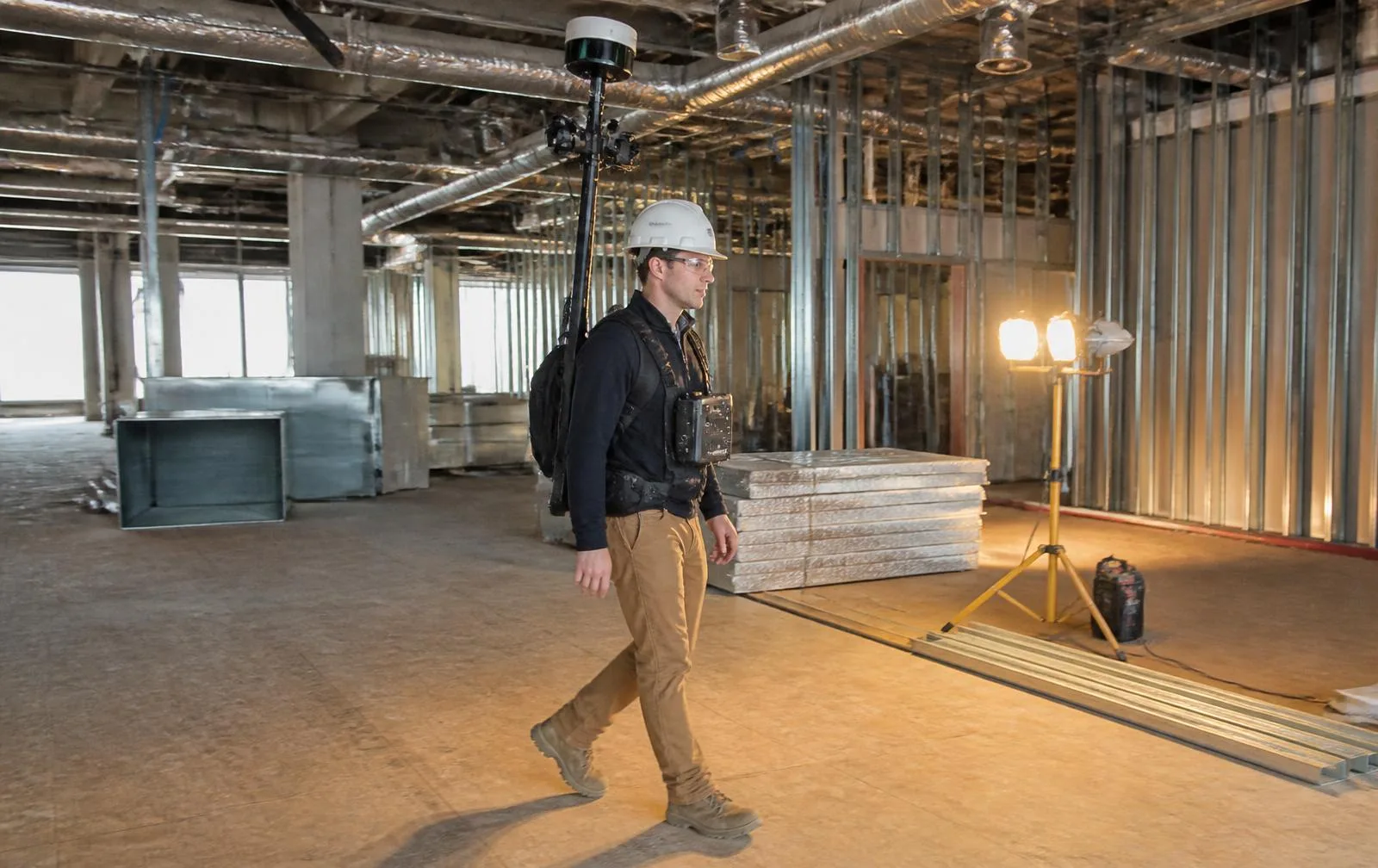
Minimally. Because mobile LiDAR captures 80,000–120,000 sq ft per visit at walking pace, a bi-weekly scan of an active floor typically takes hours, not days — fast enough that it doesn't displace trades or block work areas. That speed is what makes a recurring program economical: field time per visit stays small while the cumulative dataset grows into a complete, usable build history.
How does a program actually get set up and run?
- Program design. Cadence, coverage, and the control plan are matched to your construction schedule — not a generic template.
- Baseline. The first capture establishes both the control network every later scan will register to, and the existing-conditions record before work begins.
- Recurring visits. Scheduled captures follow, each registered to the same system, typically delivered within days of the field visit.
- Closeout. The cumulative dataset — every scan, on one coordinate system — becomes your verified as-built record.
Who actually uses the data from a progress scanning program?
The data serves different roles for different people on the same job. VDC teams overlay each capture against the coordinated model to verify installation as it happens, not after the fact. Owners' reps tie milestone captures directly to pay applications, so payment decisions rest on measured evidence instead of a walk-through and a signature. Superintendents settle installed-versus-planned questions the day they come up, instead of waiting for a site visit to confirm what was actually built. And because every visit is registered to the same control, none of those uses conflict with each other — the same dataset answers all of them.
What do you actually get at the end of the program?
Every capture is delivered as a registered point cloud on the shared control network, plus scan-vs-model and scan-vs-scan comparison views, a dated panoramic record of each visit, and — critically — pre-cover-up documentation of concealed systems that no other deliverable preserves. At closeout, the cumulative dataset *is* your verified as-built record, already assembled from real capture history rather than reconstructed from memory. If your current progress documentation is a photo folder on someone's phone, a recurring progress scanning program is the difference between records you have and records you can actually use.