TL;DR
Large-building 3D laser scanning projects require decisions on capture method (mobile SLAM, terrestrial, drone, or a mixed approach), a control network that holds accuracy across floors and long spans, and a phasing plan that lets design work start on early zones while later zones are still being captured. Scheduling around occupied or live-operations facilities, managing large point cloud datasets, and matching deliverable LOD to discipline needs all affect cost, which typically runs $0.05–$0.20 per square foot for buildings in the 80,000–120,000 sq ft range. Facility type — industrial plant, commercial interior, infrastructure asset, or interior fit-out — changes equipment choices and deliverable priorities. Evaluating providers against a clear checklist of registered accuracy, QA process, and deliverable specificity reduces the risk of rework later in design.
What to Know About Building Scanning for Large Projects
TL;DR
- Large-building projects usually mix capture methods — terrestrial tripod scanning, mobile SLAM, and drone capture — matched to different zones within the same building.
- Phasing an 80,000–120,000 sq ft building into zones with a shared control network keeps accuracy consistent and lets design work start before the whole building is captured.
- Data volume, deliverable staging, and LOD scope by discipline (200–350) all need to be defined in the scope of work up front, not discovered mid-project.
- Cost for projects at this scale generally falls in the $0.05–$0.20/sq ft range, driven by complexity, access, and required accuracy.
- Facility type — industrial, commercial interior, infrastructure, or interior fit-out — changes which capture method and deliverable format actually matters most.
Jump to: Capture method selection · Phasing and zoning · Control networks · Scheduling · Data volume · Deliverable staging · Formats and LOD · Cost drivers · Provider checklist · Facility differences
How is the right capture method chosen for a large building?
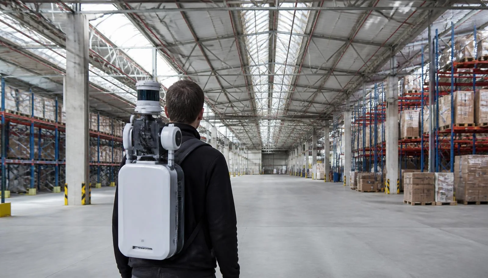
Large projects rarely rely on one capture method for the entire building. The decision is zone-by-zone: terrestrial tripod scanners deliver the highest accuracy and are typically used for structural elements, mechanical rooms, and areas where survey-grade control is required. Mobile SLAM systems capture large open floor plates, corridors, and stairwells at walking pace, trading a small amount of accuracy for significant speed gains. Drone capture handles roofs, facades, and site context that ground-based methods can't reach efficiently.
For a full comparison of how these three methods perform against each other, see drone vs. terrestrial vs. mobile LiDAR and mobile vs. terrestrial laser scanning. Most large-building scopes end up mixed-method: terrestrial anchors for control and high-precision zones, mobile SLAM for volume coverage, and drone for exterior envelope.
| Capture method | Best for | Typical accuracy role |
|---|---|---|
| Terrestrial tripod | Structural, MEP rooms, control points | Primary accuracy anchor |
| Mobile SLAM | Large floors, corridors, repetitive spaces | Fast coverage, tied to control |
| Drone (photogrammetry/LiDAR) | Roofs, facades, site context | Exterior envelope, low-detail zones |
How should an 80,000–120,000 sq ft building be phased and zoning work?
A building in the 80,000–120,000 sq ft range — Zealot's typical large-building capture range — is generally broken into zones by floor, wing, or system boundary rather than scanned as one continuous pass. Zoning serves two purposes: it lets crews work efficiently without backtracking, and it creates natural handoff points where processed data can be released to the design team before the rest of the building is finished.
Zone boundaries should be planned around how the design team will actually use the data — by floor for vertical coordination, by wing for renovation phasing, or by system (structural shell first, MEP-dense areas second) when disciplines need data at different times.
What keeps accuracy consistent across floors and long spans?
A shared control network is what prevents accuracy from drifting as scans move between floors or across long building spans. Control points — established with total stations or GPS where applicable — give every scan setup, regardless of capture method, a common reference frame. Without this network, mobile SLAM data captured on one floor and terrestrial data captured on another can register internally consistent but still be misaligned relative to each other.
This is the mechanism behind what ±5mm accuracy actually means in practice — the number describes scan-to-scan precision, but building-wide accuracy depends on the control network tying it all together. For background on how control ties into deformation and coordination work, see point cloud control and deformation analysis.
How does scheduling work around occupied or live-operations buildings?
Large buildings are frequently occupied or operating during capture, which shapes both method choice and sequencing. Tripod-based terrestrial scanning is more disruptive in active spaces because of setup time and the need for temporarily clear sightlines, while mobile SLAM's walking-pace capture works around foot traffic and furniture with less interruption.
Scheduling typically follows tenant hours, shift changes, or facility uptime windows, with zones sequenced so noisy or access-restricted areas are captured during off-hours and lower-impact zones are captured during normal operations. Can you scan an occupied building? covers this in more detail, and how to prepare a site for a 3D laser scan outlines what facility teams should have ready before crews arrive.
How is data volume managed at scale?
An 80,000–120,000 sq ft building captured across multiple methods generates a substantial point cloud dataset — often tens of gigabytes before processing, more once merged and registered. Managing that volume at scale means establishing a folder and naming convention by zone from day one, registering data incrementally as each zone is completed rather than waiting for the full building, and deciding early which file formats each discipline needs.
Organizing point cloud data for scan-to-BIM and point cloud file formats: E57, RCP, LAS, PTS both address the practical side of this — matching format to software (Revit, Navisworks, CAD) and keeping raw and processed data clearly separated so QA issues in one zone don't hold up delivery of another.
How can design work start before the whole building is captured?
Deliverable staging is what makes phased capture useful rather than just a scheduling convenience. Once a zone is captured, registered against the shared control network, and passed through QA, its point cloud or BIM deliverable can be released to the design team while capture continues elsewhere in the building. This means design on zone 1 can begin while zone 6 hasn't been scanned yet, as long as the provider commits to per-zone QA and delivery rather than a single end-of-project handoff.
This staged approach depends on the scope of work specifying delivery milestones by zone, not just a final deadline — see how to write a 3D scan deliverable spec and 3D laser scanning scope of work for what that should include.
What deliverable formats and LOD are appropriate by discipline?
Not every discipline needs the same level of detail. Structural teams coordinating steel or concrete typically need LOD 300–350 accuracy on primary elements, while general space planning or early massing work can proceed on LOD 200 registered point clouds. MEP coordination above ceilings often needs targeted LOD 300 modeling in congested areas and lighter treatment elsewhere.
| Discipline | Typical LOD | Common deliverable |
|---|---|---|
| Architectural / space planning | LOD 200 | Registered point cloud, 2D floor plans |
| Structural | LOD 300–350 | Revit model, structural elements |
| MEP / above-ceiling | LOD 300 | Targeted Revit model, clash-ready data |
| Facilities / FM | LOD 200 | Point cloud, as-built drawings |
Zealot's BIM modeling scope spans LOD 200–350 depending on discipline and use case. For a deeper breakdown of what separates these levels, see LOD 200 vs. 300 vs. 400 Revit model from scan and structural BIM deliverables to confirm before signing off on scope.
What drives cost in the $0.05–$0.20/sq ft range?
Pricing across large projects tends to fall between $0.05 and $0.20 per square foot, with several factors pushing a project toward either end. Building complexity — open warehouse floors versus a dense mechanical penthouse — matters more than raw square footage. Required accuracy and LOD by discipline, access restrictions (occupied hours, confined spaces, working at height), and the amount of MEP or structural detail requiring higher-LOD modeling all factor into the final number.
How much does 3D laser scanning cost? and scan-to-BIM pricing: what a Revit model costs break down these variables further, useful when comparing quotes across providers for the same building.
What should a provider selection checklist include?
Evaluating a provider for a large-building project comes down to a handful of concrete checks rather than general reputation. Ask for registered accuracy figures and how they're validated on-site, request a written scope of work with deliverable specs by zone and discipline, and confirm how the provider structures phasing and staged handoffs.
| Checklist item | What "good" looks like |
|---|---|
| Registered accuracy | Stated figure (e.g., ±5mm) with control network validation |
| Scope of work | Written, zone-by-zone, with LOD by discipline |
| Phasing plan | Staged delivery milestones, not single end-of-project handoff |
| QA process | Documented per-zone QA before delivery |
| Format flexibility | Delivers E57/RCP/LAS and native BIM formats as needed |
| Facility experience | References for similar-scale or similar facility-type work |
Choosing a 3D laser scanning provider: a buyer's checklist and how to evaluate 3D laser scanning providers expand on these criteria in more depth, and vetting point cloud accuracy before you hire is worth reviewing before finalizing a contract.
How do facility types change the approach?
Industrial facilities, commercial interiors, infrastructure assets, and interior fit-outs each shift priorities differently. Industrial plants tend to prioritize above-ceiling and structural steel accuracy for retrofit coordination, often at higher LOD due to dense piping and equipment — see industrial 3D laser scanning explained. Commercial interiors typically weight space planning and as-built floor plans more heavily, with LOD needs varying by whether renovation or tenant fit-out is planned.
Infrastructure projects — bridges, parking structures, civil assets — often need control networks that span exterior distances and may layer in deformation monitoring over time. Interior fit-out and complex renovation work, by contrast, tends to prioritize speed and staged delivery so design can begin quickly on a single floor or suite. These differences all inform equipment and method choice more than square footage alone does, and are worth discussing directly with a provider such as Zealot's building 3D laser scanning services or complex interior renovation scanning team before scoping a large project.