TL;DR
The most critical warning signs of a poor point cloud are registration drift between scans, ghosting or doubled objects, and a missing registration report. Spotting these data quality issues early prevents inaccurate Revit models and costly design rework.
A low-quality point cloud is the single biggest cause of an inaccurate Scan-to-BIM model. Before any modeling begins, it is critical for AEC teams to perform a quick quality assurance check on the received point cloud data. The most serious warning signs of a poor dataset are registration drift where building elements appear to bend or double, visible "ghosting" of objects, and the absence of a formal registration report from the scanning provider.
Identifying these issues in the first hour of receiving the data can prevent weeks of rework and protect the project from the design risks of inaccurate as-builts. Relying on a flawed point cloud guarantees a flawed Revit model, leading to costly change orders and coordination failures during construction.
Registration and Alignment Issues
Problems with scan registration—the process of aligning dozens or hundreds of individual scans into a single, cohesive point cloud—are the most destructive source of error.
1. No Registration Report
A professional scanning provider will always deliver a registration report alongside the point cloud. This document summarizes the statistical accuracy of the cloud-to-cloud alignment process. It lists the average error, standard deviation, and overlap between scan positions.
If this report is missing, it's a major red flag. It either means the provider does not have a formal QA process or that the results were too poor to share. Without it, there is no objective way to verify the claimed field accuracy, such as ZEALOT's typical ±5 mm registered field accuracy.
2. Obvious Registration Drift
Drift is a cumulative error that occurs when small misalignments between scans add up over a large area. The cloud might look perfect near the starting scan, but walls, floors, and columns will appear to twist, bend, or splay apart further away.
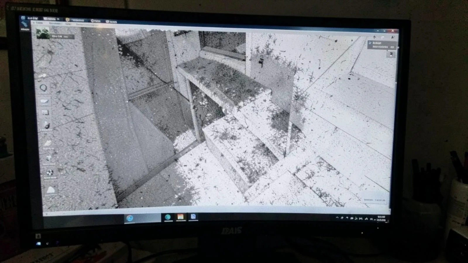
How to spot it: Open the point cloud in Revit or ReCap and create a thin section box (1-2 inches) through a long corridor or a multi-story stairwell. If the walls are not parallel or if the stairs appear to double, you have significant drift. This makes it impossible to model accurately.
3. Mismatched Coordinate Systems
If the point cloud does not align with the project's coordinate system, every measurement and modeled element will be in the wrong location. This often happens when a provider fails to locate project control points or uses an arbitrary local coordinate system without documenting it. The data may be internally accurate but globally useless until it is properly georeferenced.
4. No Survey Control
For large projects or those requiring high global accuracy (like deformation studies), scans must be tied to a survey control network. A point cloud delivered without being tied to known control points has no verifiable relationship to the site datum. This makes it unsuitable for civil integration, façade analysis, or any task that requires absolute spatial positioning. A lack of control is a common source of error in point cloud registration for Scan-to-BIM.
Data Density and Completeness
Even a perfectly registered cloud can be unusable if it doesn't contain the necessary information.
5. Sparse Data in Critical Areas
The density of points determines the level of detail a modeler can extract. If the point cloud is sparse (i.e., has large gaps between points) on key features like structural steel connections, pipe flanges, or the back of a parapet wall, the modeler is forced to guess. This undermines the entire purpose of scanning. Check MEP spaces and above ceilings for adequate density, as these areas are often scanned too quickly.
6. Major Occlusions (Holes)
Occlusions are "shadows" in the data caused by objects blocking the scanner's line of sight. While some holes are unavoidable, a quality scan plan minimizes them by using a high number of scan positions. Large holes behind columns, major equipment, or dense furniture indicate a rushed capture process. These gaps create ambiguity and risk in the Scan-to-BIM modeling phase.
7. Ghosting and Double Walls
"Ghosting" refers to artifacts where a single object, like a wall or a column, appears twice in the data, slightly offset. This is usually caused by poor registration results or scanning on an unstable surface. It creates an impossible modeling condition, as the modeler cannot determine the true location of the surface.
Artifacts and Data Noise
Noise is any data point that does not represent a real-world surface. Excessive noise complicates modeling and can obscure important details.
8. Noise from Moving Objects
People walking through a scene, vehicles driving by, or vibrating machinery can create streaks, smudges, and clouds of stray points. While automated cleaning filters can remove much of this, significant noise from a busy, occupied site can remain. This noise can make it difficult to model clean surfaces, especially floors. This is a challenge that must be addressed when planning to scan an occupied building.
9. Color and Intensity Artifacts
Reflective or very dark surfaces can cause issues for laser scanners. Highly polished floors, mirrors, or glass can create "blowouts" (areas with no data) or false points on the other side of the reflection. Dark, energy-absorbing surfaces may return a weak signal, resulting in noisy, low-confidence points. While these are often unavoidable physical limitations, a skilled provider knows techniques to mitigate them.
File and Project Management Issues
Poor data management practices are another warning sign about a provider's overall process and attention to detail. These issues can make even good data difficult to use, as covered in this guide to why point clouds are hard to manage in BIM.
10. Unrealistic File Size
A point cloud file that is excessively large (e.g., hundreds of gigabytes for a small interior) or suspiciously small can indicate a problem. An overly large file may be unprocessed, full of noise, or exported inefficiently. A very small file may indicate that the data has been over-cleaned or "decimated" to the point where critical detail is lost.
11. No Scan Location Map
A map showing where each individual scan was taken (often as spheres in the point cloud) is essential for QA. It helps you understand data density, identify the source of potential errors, and assess coverage. A missing scan map makes it much harder to diagnose problems like occlusions or registration drift. A proper point cloud QA process relies on this information.
Decision Guide: Reject, Re-scan, or Accept?
When you identify one or more of these warning signs, you must decide how to proceed. Use this table as a general guide.
| Warning Sign | Severity | Recommended Action |
|---|---|---|
| No Registration Report | High | Request report immediately. If unavailable or poor, consider data unreliable. Do not proceed with modeling. |
| Obvious Registration Drift | Critical | Reject. Data is fundamentally inaccurate. Requires full re-processing or a complete re-scan. |
| Ghosting / Double Walls | Critical | Reject. Modeling is impossible. Data must be re-processed or re-scanned. |
| Major Occlusions / Holes | Medium | Accept with caveats. Note missing data areas as exclusions in the modeling scope. Request targeted re-scan if critical. |
| Sparse Data Density | Medium | Depends on location. If in non-critical areas, accept. If on key MEP/structural elements, reject or request targeted re-scan. |
| Mismatched Coordinates | Medium | Request provider to re-export data on correct coordinates. Do not attempt to fix this yourself. |
| No Survey Control | Low-High | If not required by scope, accept. If required, Reject. Data must be tied to control and re-processed. |
| Excessive Noise | Low-Medium | Request a re-cleaned version of the cloud. Most providers can re-run filters to improve the data. |
| Missing Scan Location Map | Low | Request it from the provider. It's a simple export and essential for your own QA process. |
This systematic check ensures that the data foundation for your BIM model is solid. Catching these errors before modeling begins protects your project's timeline, budget, and design integrity from the consequences of poor Scan-to-BIM accuracy.
Next step
If your team needs reliable point cloud data and accurate Revit models for a renovation or retrofit project, ZEALOT can help. The team provides quotes in 24 hours based on your project scope.
Contact ZEALOT Reality Capture at 614-210-3679 or visit the contact page to discuss your project.
</body>