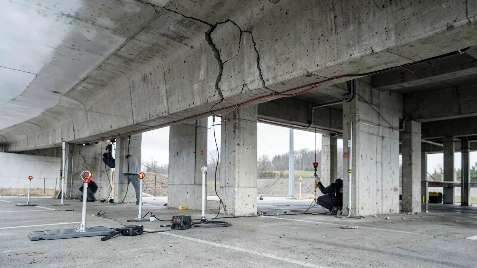
TL;DR
Using 3D laser scanning for deformation studies is challenging because the process's repeatability is limited by registration errors and control network stability. Small errors in aligning scans taken at different times can be larger than the actual movement being measured, creating false results.
Using 3D laser scanning for deformation studies is limited by the accumulation of registration errors and the stability of the underlying control network. For a scan taken in January to be reliably compared to one taken in July, they must be aligned to the same coordinate system with a precision greater than the anticipated movement. Any error in this alignment process across time can appear as false deformation, compromising the results.
What Deformation Studies Demand
Deformation analysis aims to detect and quantify minute changes in a structure or surface over time. This requires a measurement system with exceptional repeatability and stability. The core challenge is not just achieving high accuracy in a single scan event, but maintaining that accuracy consistently across multiple events, often separated by weeks, months, or years.
The success of any deformation monitoring project hinges on a stable, unwavering reference frame. All measurements are relative to this frame. If the reference itself moves or cannot be re-established perfectly, it becomes impossible to determine if the structure moved or if the measurement system simply shifted. This is why the control network is the foundation of reliable deformation analysis.
Registration: The Weak Link in Deformation Monitoring
Point cloud registration is the process of aligning individual scans to each other and to a common coordinate system. While standard practice for creating as-builts, it becomes the most critical source of error in deformation studies. A typical scan project for a renovation might have a registered field accuracy of ±5 mm, which is sufficient for design. However, an error of this magnitude would render most deformation studies useless.
Epoch-to-Epoch Alignment
The primary challenge is co-registering datasets from different time periods (or "epochs"). Each epoch has its own set of registration errors. When comparing Epoch A to Epoch B, the total potential error is a combination of the errors from both datasets plus any error in aligning them to each other. This is where small deviations can create the illusion of movement. For a detailed overview of the standard registration process, see this guide to point cloud registration.
Control Network Stability
To mitigate alignment errors between epochs, a robust control network is established using survey-grade techniques. These control points (targets, monuments) are assumed to be perfectly stable. The laser scanner is tied into this network during every visit. However, if a control target is disturbed, damaged, or itself moves—even slightly—it introduces systemic error into every subsequent scan tied to it. Verifying the stability of the control network itself is a critical, and often overlooked, step.
Terrestrial vs. Mobile Scanning for Deformation Analysis
The choice of scanning technology is critical for this application. The precision and control required for deformation monitoring severely limit the viable options.
Terrestrial laser scanners (TLS) are the industry standard for this type of work. Mounted on a stationary tripod, they capture data from a fixed position, which can be precisely repeated on subsequent visits. This static capture method allows for the highest possible accuracy and the most rigorous control integration.
Mobile mapping systems, which often use SLAM algorithms, are generally not suitable for precise deformation monitoring. These systems are optimized for rapid capture over large areas, but their accuracy is subject to drift that is orders of magnitude larger than the deformation typically being measured. The value proposition of a mobile scanner is speed, not the high-fidelity repeatability needed to detect millimeter-level change.
| Feature | Terrestrial Laser Scanning (TLS) | Mobile Mapping (SLAM) |
|---|---|---|
| Primary Use Case | High-accuracy as-builts, structural analysis | Rapid existing conditions capture, large areas |
| Control Method | Surveyed control points, targets | SLAM algorithm, occasional control loops |
| Typical Precision | High (millimeter-level) | Lower (centimeter-level) |
| Repeatability | Excellent; can re-occupy exact setups | Poor; path-dependent, subject to drift |
| Suitability for Deformation | Suitable with rigorous control | Not Recommended for precise work |
For more on the differences between these technologies, a helpful resource is the comparison of mobile vs. terrestrial laser scanning.
What to Ask a Scanning Provider
Before engaging a firm for 3D laser scanning for deformation studies, project teams should vet the provider’s methodology rigorously. The quality of the deliverable depends less on the scanner itself and more on the field and office procedures used to control error.
Key questions to ask include:
- How will you establish, monument, and verify the long-term stability of the control network?
- What is your procedure for co-registering scan data from different epochs to the master control network?
- What is the total potential error budget for change detection, accounting for instrument, registration, and control network errors?
- Can you provide a registration report that quantifies the alignment between epochs, separate from the analysis of structural movement?
- How will you differentiate between thermal expansion/contraction and permanent deformation in the data?
Understanding the provider's answers to these questions is crucial for setting realistic expectations about the tolerances in the final point cloud and BIM deliverables.
When Laser Scanning Is the Right Tool
Despite the challenges, 3D laser scanning has a valuable role in monitoring, provided its limitations are understood. It excels where traditional methods fall short: capturing the behavior of entire surfaces, not just discrete points.
Laser scanning is the right tool for:
- Establishing a comprehensive baseline. An initial scan can create a complete 3D record of a structure, against which future spot measurements can be compared.
- Monitoring large-scale changes. When expected movement is in the centimeter range or greater (e.g., hillside erosion, large retaining wall shifts), scanning provides excellent context.
- Identifying patterns of deformation. While a total station may measure a single point with higher precision, a point cloud can reveal patterns of stress, bulging, or sagging across a whole wall or floor that discrete points would miss. This is a key benefit for building scanning for structural analysis.
- Accessing unsafe or difficult-to-reach areas. A scanner can be placed at a safe distance to monitor a failing facade or unstable rock face without endangering personnel.
Conversely, it is generally not the right tool for high-precision monitoring of dams, bridges, or other critical structures where sub-millimeter accuracy is required. That remains the domain of specialized geotechnical sensors and traditional surveying.
Next step
To discuss the specific requirements for your monitoring project and determine if 3D laser scanning is a suitable approach, contact the team at ZEALOT Reality Capture.