Nationwide Reality Capture Company for Accurate As-Built Solutions
At ZEALOT Reality Capture, we provide nationwide 3D laser scanning services across the United States, converting real-world structures into accurate digital assets. With extensive experience in reality capture and LiDAR Scanning, our team brings state-of-the-art laser scanning equipment such as Leica RTC360, P-Series, NavVis VLX, and drone-based LiDAR systems directly to your site.
Our expertise covers a wide range of facilities, from industrial plants, refineries, and manufacturing sites to commercial buildings, hospitals, universities, government infrastructure, bridges, roads, and heritage landmarks. For complex sites, we enhance the capture process with digital 360 imaging photogrammetry which helps record areas with rich visual detail and texture.
The data we capture is delivered as point clouds, Revit models (LOD 100-500), CAD floor plans, sections, elevations, and interactive digital twins. These assets streamline design and engineering workflows, cut down costly site revisits, and enable better coordination across teams.
Advanced Reality Capture & Modeling Solutions
Specialized Scanning for Your Industry
Powered by NavVis VLX3
We use the industry-leading NavVis VLX3 wearable laser scanner combined with the IVION cloud platform to deliver unmatched speed, accuracy, and accessibility.
Survey-Grade Precision
The NavVis VLX3 delivers 5mm local accuracy, ensuring your models meet the most demanding project specifications.
Rapid Data Capture
Walk through spaces at normal pace while capturing over 2.5 million points per second with full 360° coverage.
NavVis IVION Cloud
Access your reality capture data anywhere through the IVION platform with immersive 3D walkthroughs and measurements.
Photorealistic Imagery
Four 20-megapixel cameras capture stunning panoramic images integrated with point cloud data.
Our Capture-to-Delivery Workflow
On-Site Capture
Walk through your facility with VLX3, capturing complete 3D data in a fraction of traditional scanning time.
Cloud Processing
Data is processed and uploaded to NavVis IVION for immediate access and collaboration.
Quality Assurance
Our team reviews all data for completeness and accuracy before modeling begins.
Model Delivery
Receive your deliverables in preferred formats with cloud-based access to source data.
Precise Reality Capture with Usable CAD & BIM Models
Nothing is More Accurate Than 3D Laser Scanning
Engineers, architects, construction managers, surveyors, and facility managers across the world trust 3D laser scanning technology to capture site conditions with millimeter-level precision. By eliminating manual tape measurements, this advanced surveying method captures millions of data points in seconds.
Fast, Safe, and Cost-Effective Reality Capture Solutions
Our experienced field technicians use aerial drones, terrestrial tripod scanners and mobile LiDAR systems to capture built environments in full 3D detail. Projects can be scanned without site shutdowns or disruptions.
BIM & CAD Deliverables You Can Use Immediately
We provide ready-to-use digital 3D models deliverables tailored to your workflows. We generate native CAD and BIM models in platforms like Autodesk Revit, AutoCAD, Navisworks and SolidWorks.
How Reality Capture Works: Step-by-Step Process
Project Consultation & Planning
We spend the necessary time to LISTEN, learning your project needs, discussing requirements, and scheduling the scan.
High-Precision 3D Scanning
Our expert technicians deploy the most suitable LiDAR technology to meticulously capture millions of data points on your site.
Advanced Data Processing
Raw point cloud data undergoes rigorous processing, cleaning, and registration using advanced industry-leading software.
Models & Documentation
We deliver precise 3D models, 2D CAD drawings & as-built documentation in your preferred format ready for immediate use.
Typical Reality Capture Applications
Featured Reality Capture Projects
Explore our portfolio of successful 3D laser scanning and BIM modeling projects across various industries.
15 E Temple Ct
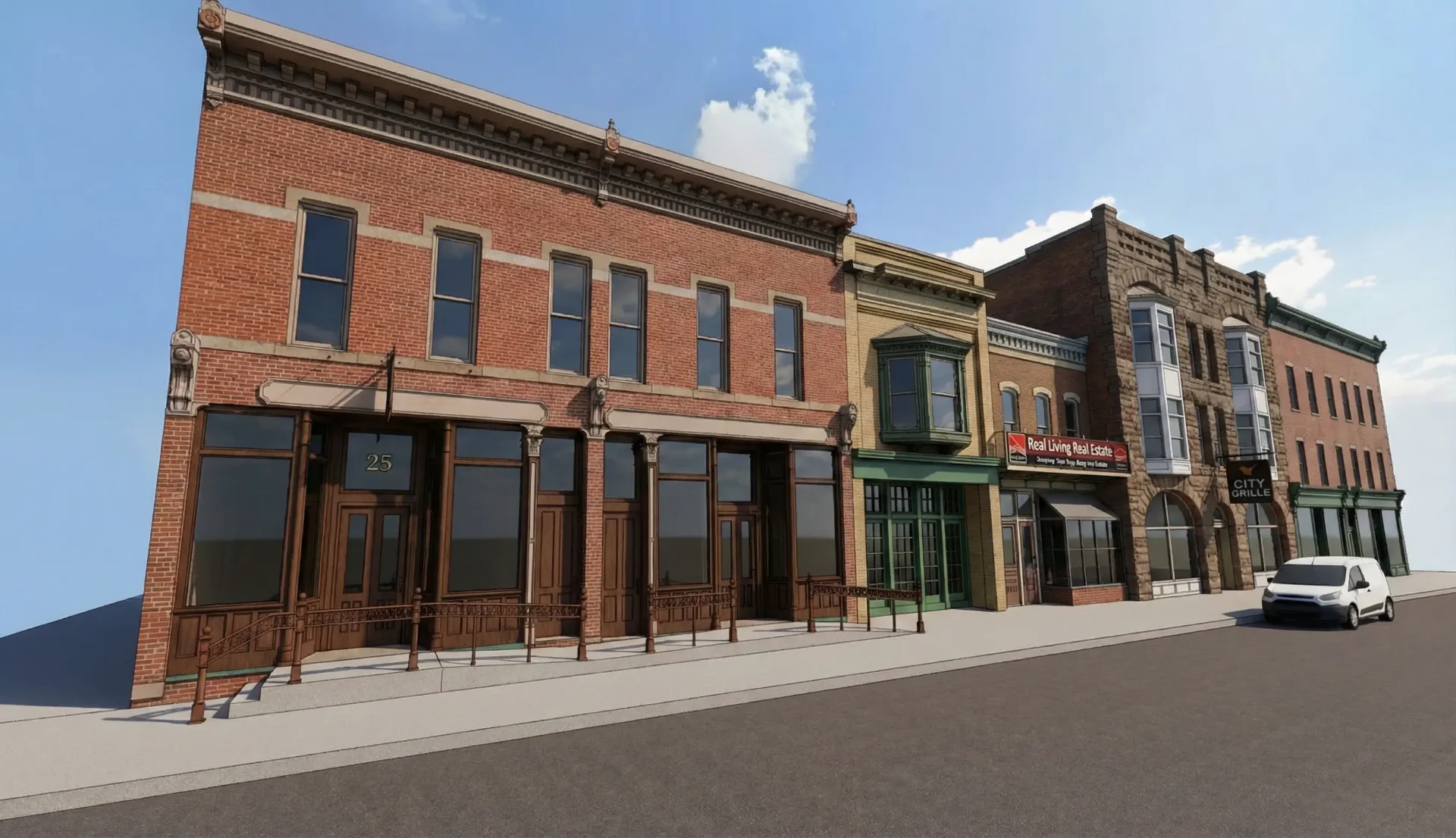
31 E 4th Street
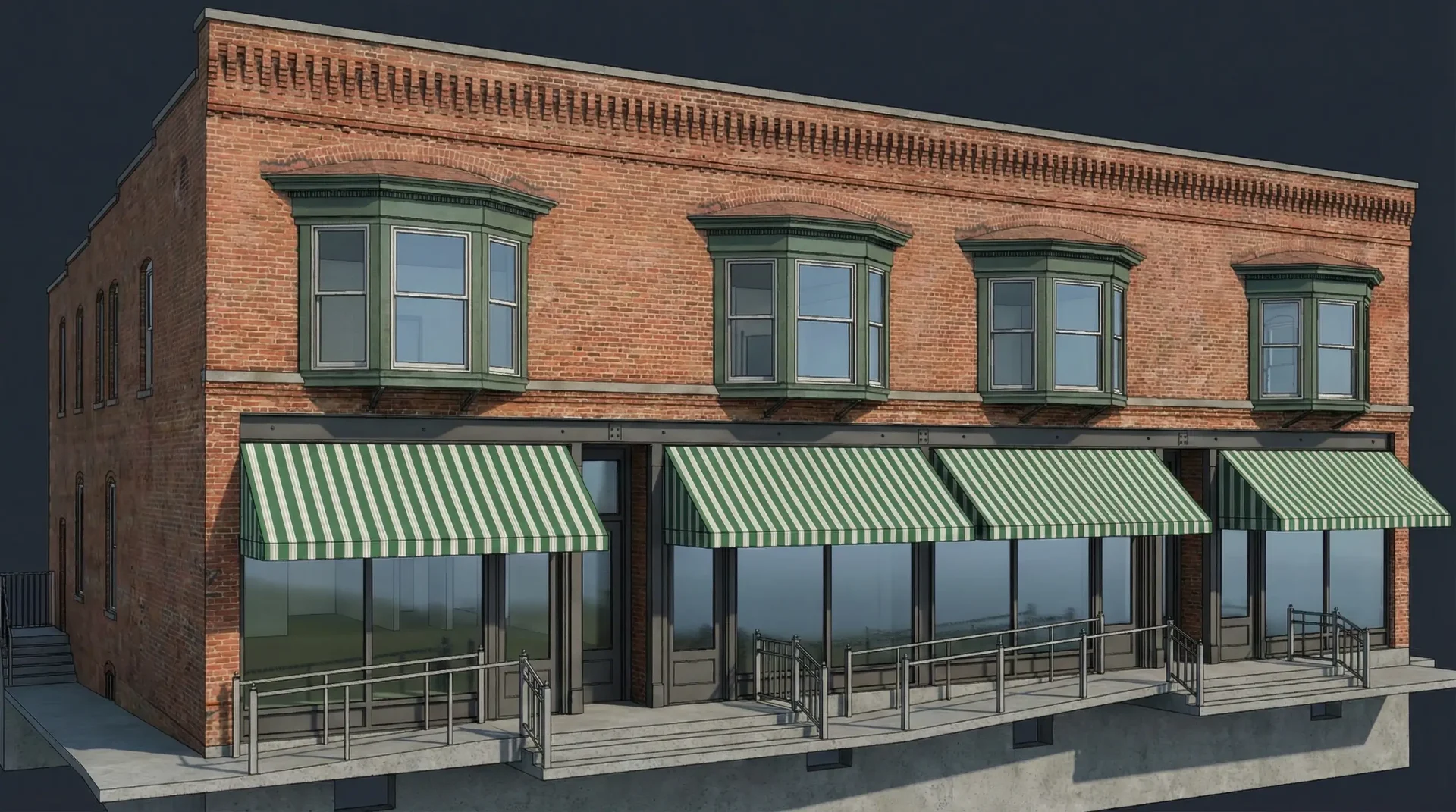
98 N Main St
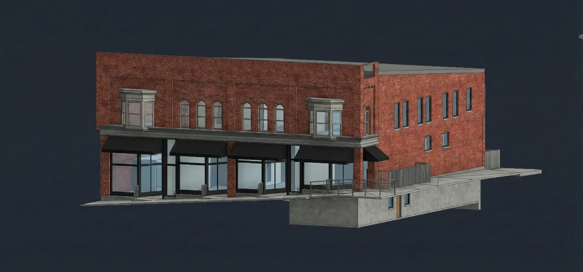
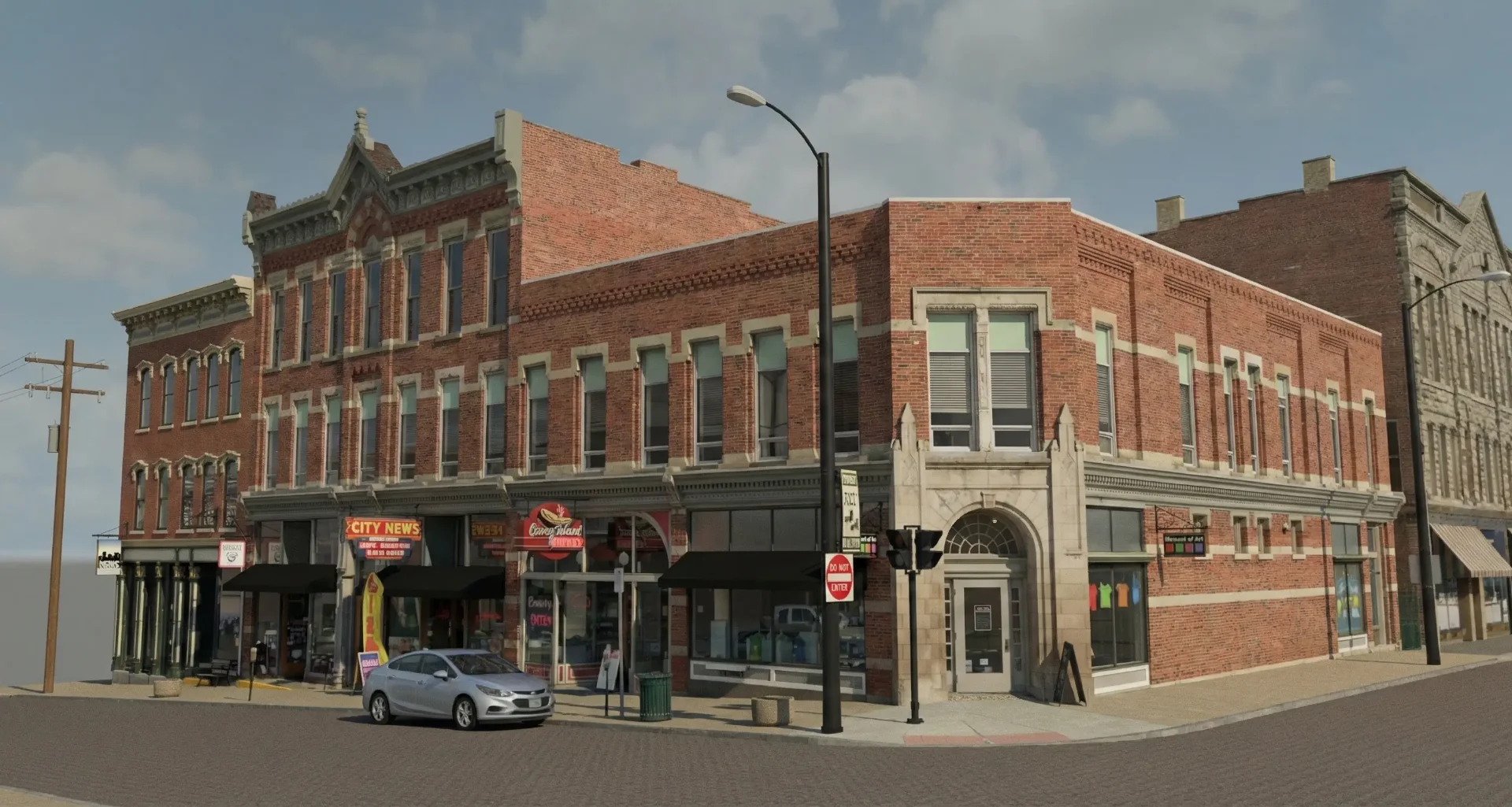
120 N Main St
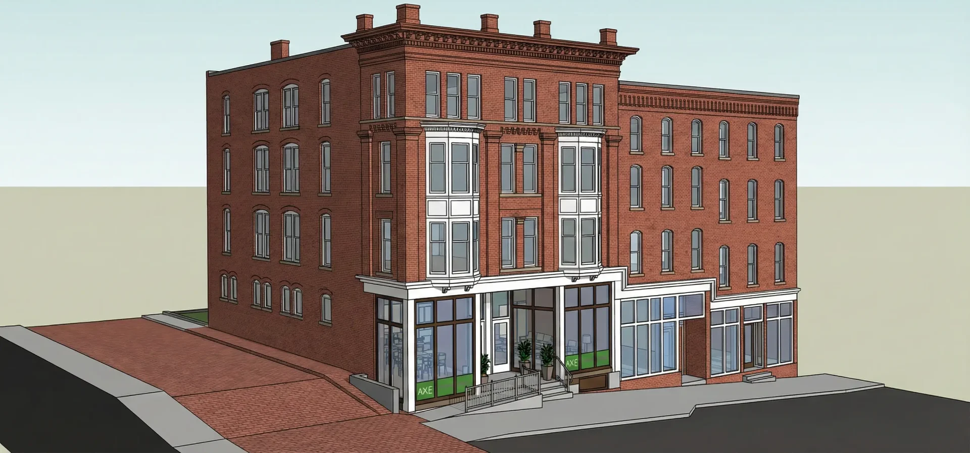
123 N Diamond St
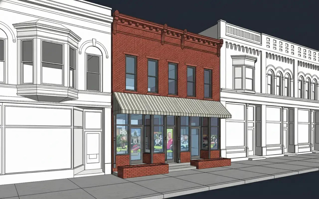
124 N Main St
Frequently Asked Questions
Common questions about our 3D laser scanning services
Professional 3D Laser Scanning Services for AEC Industries
ZEALOT Reality Capture delivers professional 3D laser scanning services for architecture, engineering, and construction projects across the United States. Based in Ohio and serving clients nationwide, we combine cutting-edge mobile LiDAR technology with exceptional customer service to provide accurate as-built documentation, BIM models, and CAD drawings that keep your projects on track and under budget.
Our 3D laser scanning services utilize the NavVis VLX3 mobile LiDAR scanner, which captures millions of measurement points per second while walking through your building. This technology delivers survey-grade accuracy of ±5mm while completing scans up to 10 times faster than traditional tripod-based methods. The result is comprehensive point cloud data with minimal disruption to your operations.
From commercial office buildings to industrial facilities, hospitals to historic landmarks, our 3D laser scanning services adapt to your specific project requirements. We work with general contractors documenting construction progress, architects capturing existing conditions for renovation design, and facility managers creating comprehensive as-built records. Every project receives our full attention and commitment to precision.
The value of accurate 3D laser scanning extends throughout your project lifecycle. Point cloud data eliminates costly field revisits by capturing complete existing conditions in a single visit. BIM models created from scan data enable effective clash detection before issues become expensive field problems. Precise measurements ensure prefabricated components fit correctly, reducing installation time and rework.
ZEALOT Reality Capture offers a complete range of 3D laser scanning services including building scanning, Scan to BIM modeling, 2D/3D floor plan creation, Scan to CAD drawings, comprehensive as-built documentation, and volumetric stockpile scanning. Our team handles projects from initial consultation through final deliverable, providing personalized service at every stage. Contact us today for a free consultation and discover how 3D laser scanning services can benefit your next project.