
Construya desde la Realidad, No desde Suposiciones.
Escaneo láser 3D de precisión topográfica, Scan to BIM y planos CAD as-built — entregados en días, con precisión de ±5 mm.
Deje de perseguir mediciones en campo. Empiece a diseñar, licitar y construir con confianza.
⚡ Cotización en 24 horas · Revisión de alcance sin compromiso
Obtenga la Cotización Gratuita de Su Proyecto
Respuesta en 24 horas · Sin presión de ventas
La confianza de equipos AEC líderes
Empresa Nacional de Captura de Realidad para Soluciones As-Built Precisas
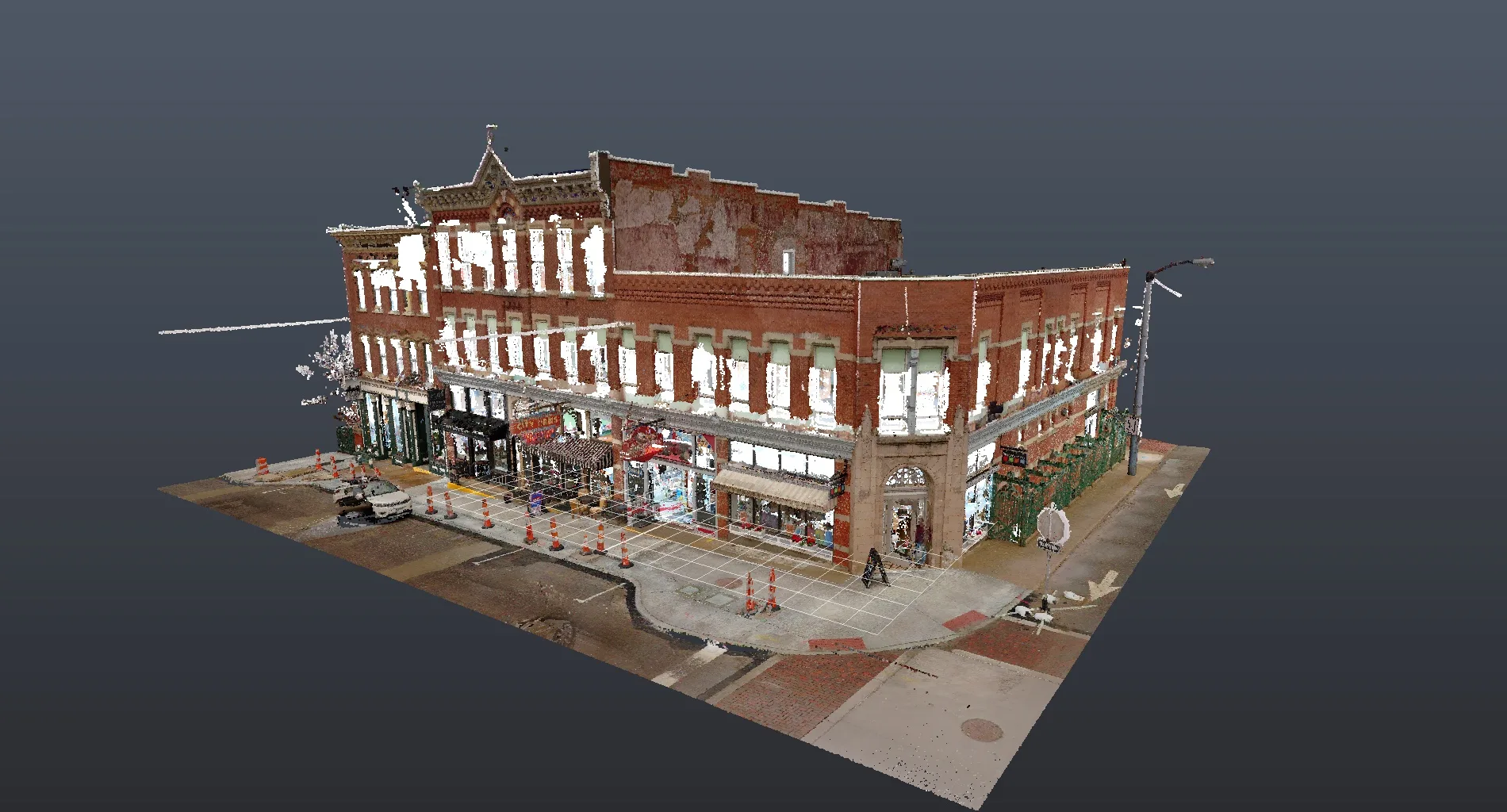
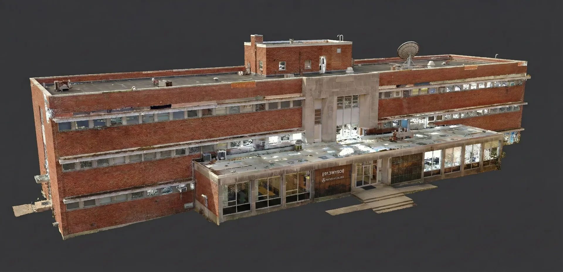
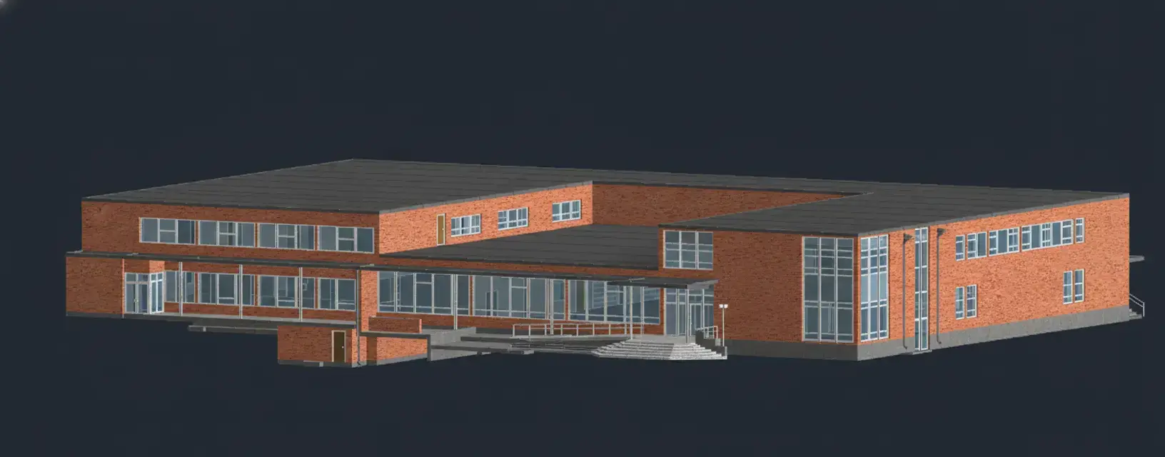
En ZEALOT Reality Capture, ofrecemos servicios de escaneo láser 3D a nivel nacional en todo Estados Unidos, convirtiendo estructuras del mundo real en activos digitales precisos. Nuestro equipo lleva sistemas Leica RTC360, P-Series, NavVis VLX y LiDAR con drones directamente a su sitio.
Nuestra experiencia abarca una amplia gama de instalaciones, desde plantas industriales, refinerías y sitios de manufactura hasta edificios comerciales, hospitales, universidades, infraestructura gubernamental, puentes, carreteras y monumentos patrimoniales. En sitios complejos, complementamos la captura con fotogrametría de imágenes digitales 360, que ayuda a registrar áreas con gran detalle visual y textura.
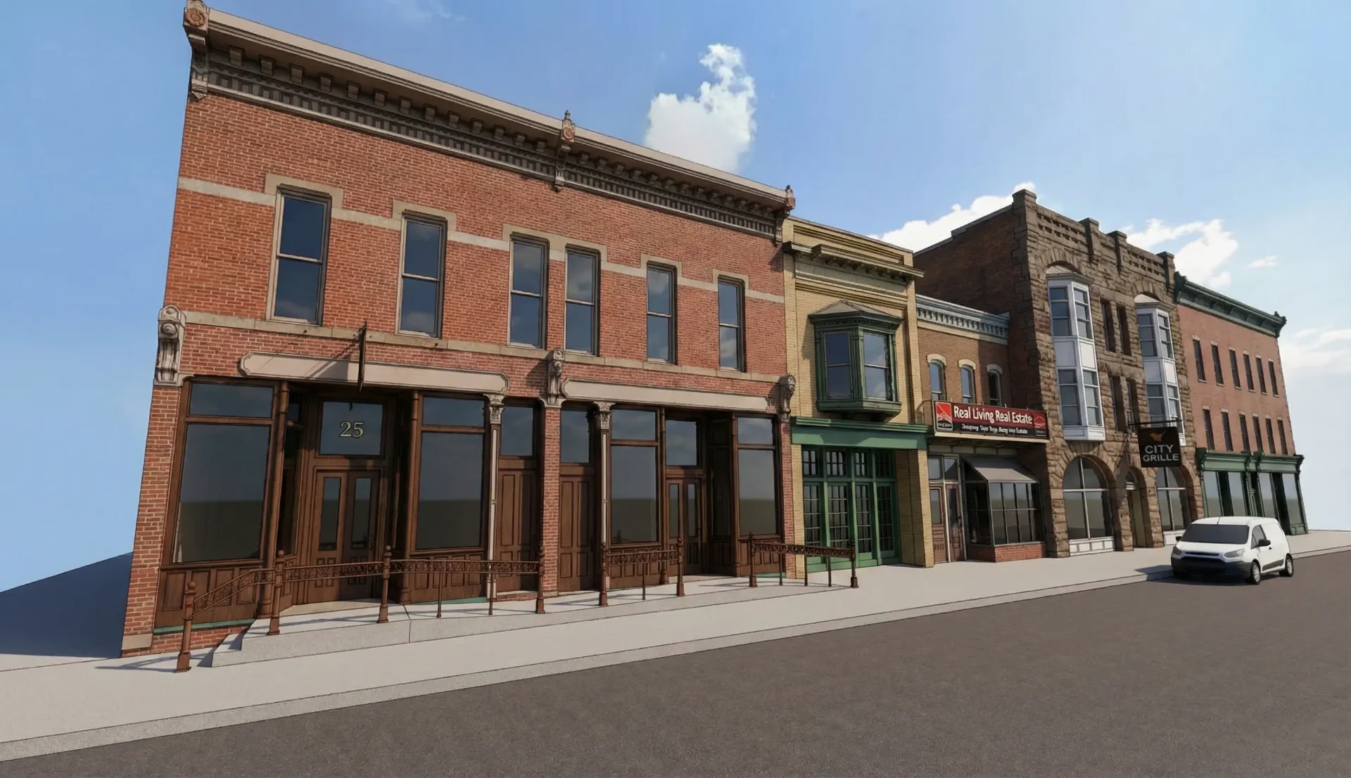
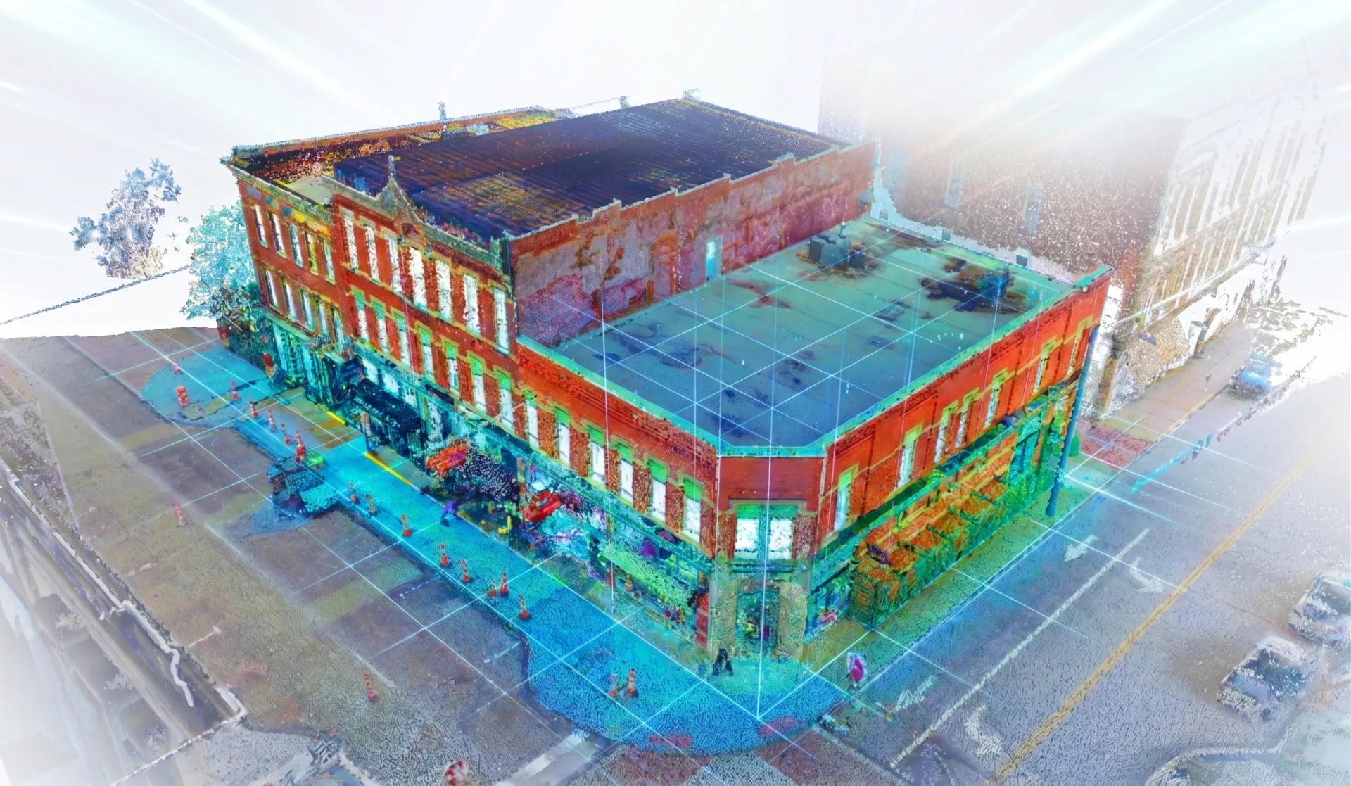
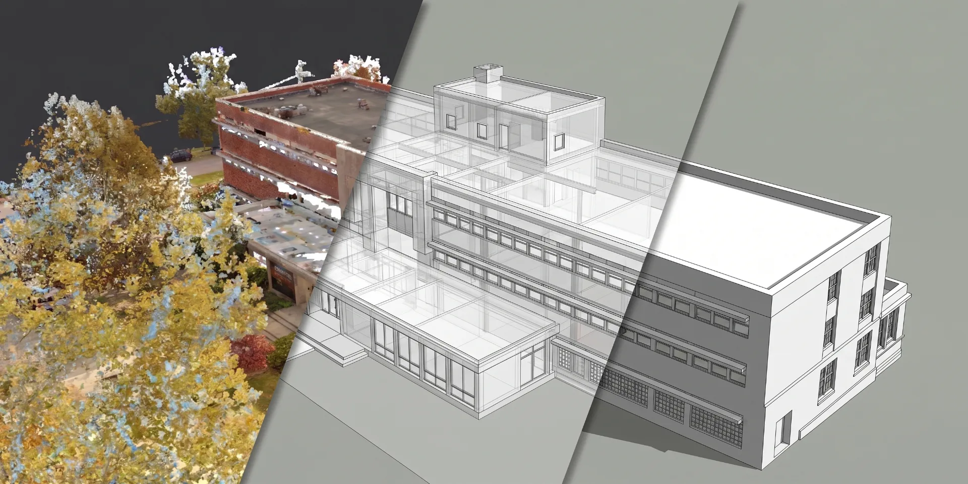
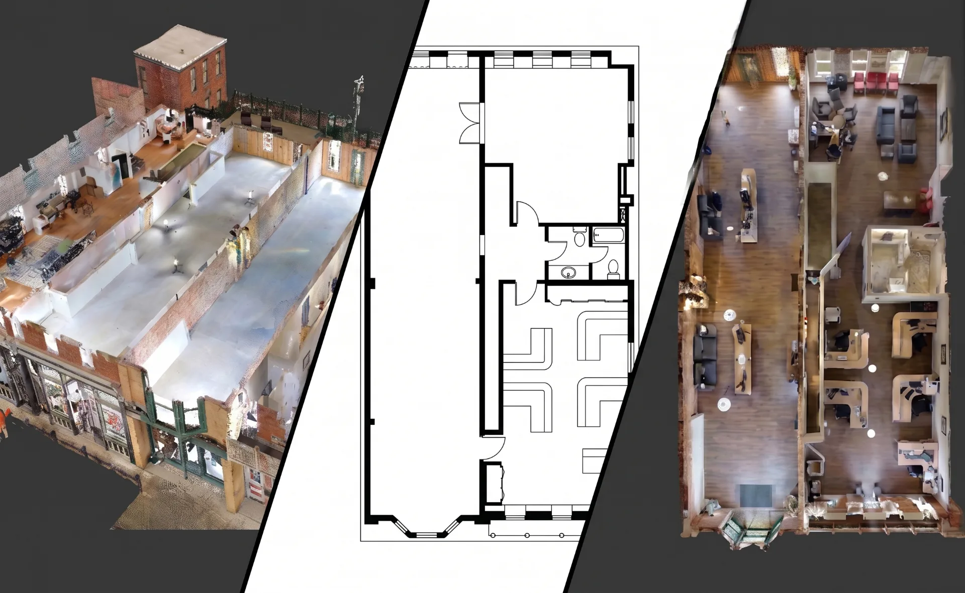
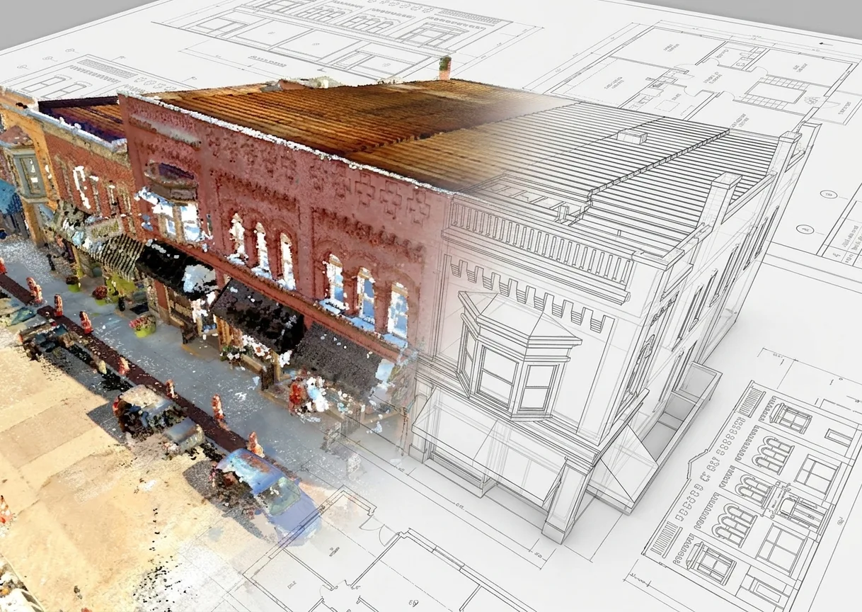
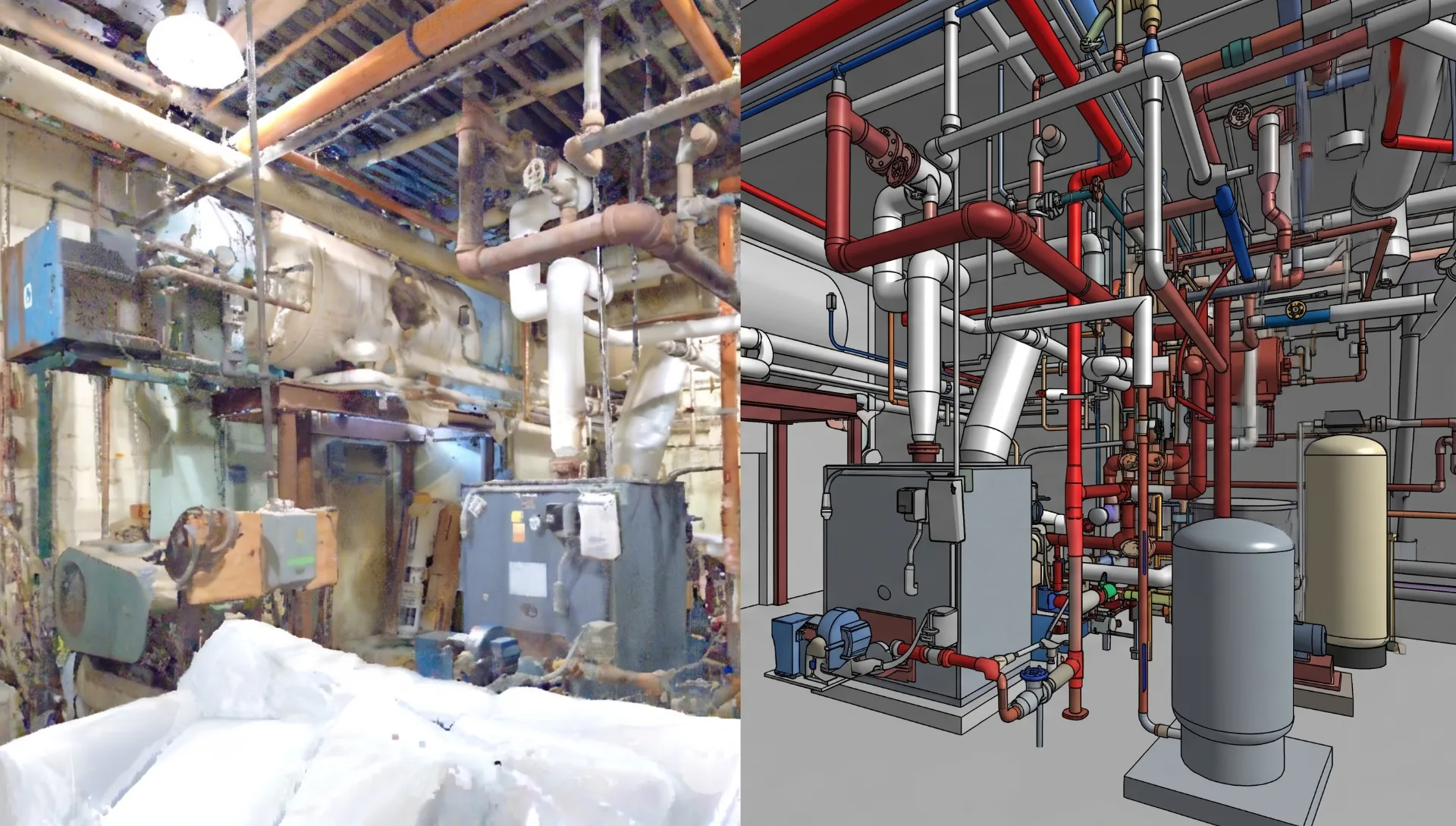
Los datos que capturamos se entregan como nubes de puntos, modelos Revit (LOD 100-500), planos CAD, secciones, elevaciones y gemelos digitales interactivos. Estos activos agilizan los flujos de diseño e ingeniería, reducen costosas visitas repetidas al sitio y permiten una mejor coordinación entre equipos.
Captura de Realidad Que Se Paga Sola
Quince servicios integrales diseñados para reducir el retrabajo, acelerar el diseño y mitigar riesgos en cada fase del proyecto.
De la visita al sitio al entregable en 3 simples pasos
Sin idas y vueltas. Sin sorpresas. Solo datos precisos, a tiempo.
PASO 01Escaneamos su sitio
Nuestros técnicos certificados llegan puntualmente y capturan cada detalle con LiDAR de Leica y NavVis — sin cierres ni interrupciones.
PASO 02Procesamos los datos
Los escaneos en bruto se registran, limpian y verifican para formar una nube de puntos unificada y navegable — con precisión de ±5 mm.
PASO 03Usted recibe entregables utilizables
BIM en Revit (LOD 200–400), planos de planta en AutoCAD, secciones, elevaciones y modelos 3D — listos para integrarse en su flujo de trabajo.
Hecho para equipos que no pueden permitirse errores
Elimine retrabajos costosos antes de que empiecen
Una sola dimensión omitida puede arruinar un cronograma. Nuestras nubes de puntos de ±5 mm detectan los conflictos en el diseño — no en obra — ahorrando semanas de RFIs y órdenes de cambio.
Llegue al diseño más rápido, no más lento
Olvídese de semanas de medición manual. Escaneamos la mayoría de los sitios en 1–3 días y entregamos nubes de puntos utilizables en 48 horas, para que su equipo empiece a diseñar de inmediato.
Entregables que encajan en su flujo de trabajo
Archivos nativos de Revit, AutoCAD, Navisworks y SolidWorks — modelados según sus estándares, organizados por sus niveles y listos para usarse en cuanto llegan a su bandeja de entrada.
Proyectos Destacados de Captura de Realidad
Explore nuestro portafolio de proyectos exitosos de escaneo láser 3D y modelado BIM en diversas industrias.
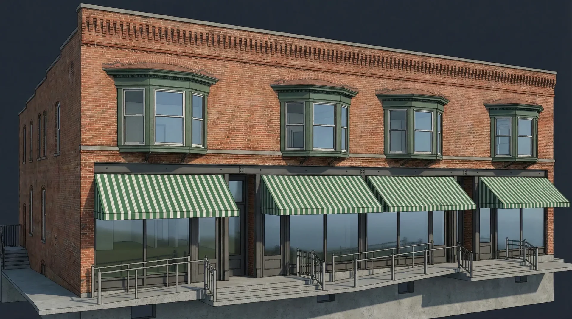
15 E Temple Ct
31 E 4th Street
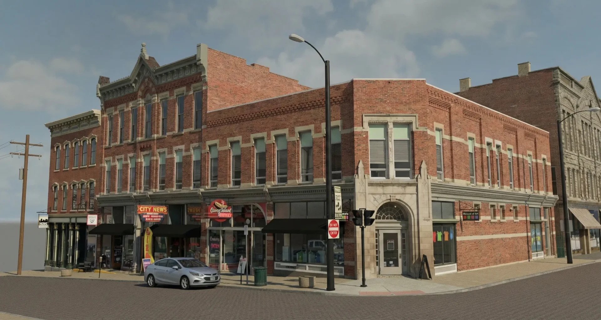
98 N Main St
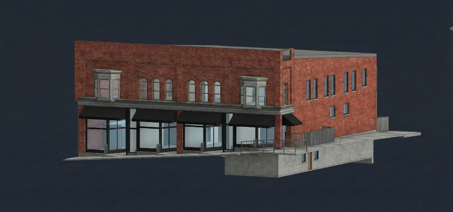
120 N Main St
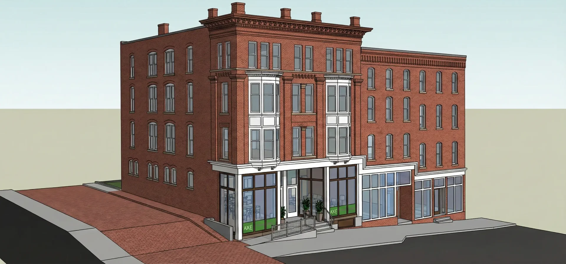
123 N Diamond St
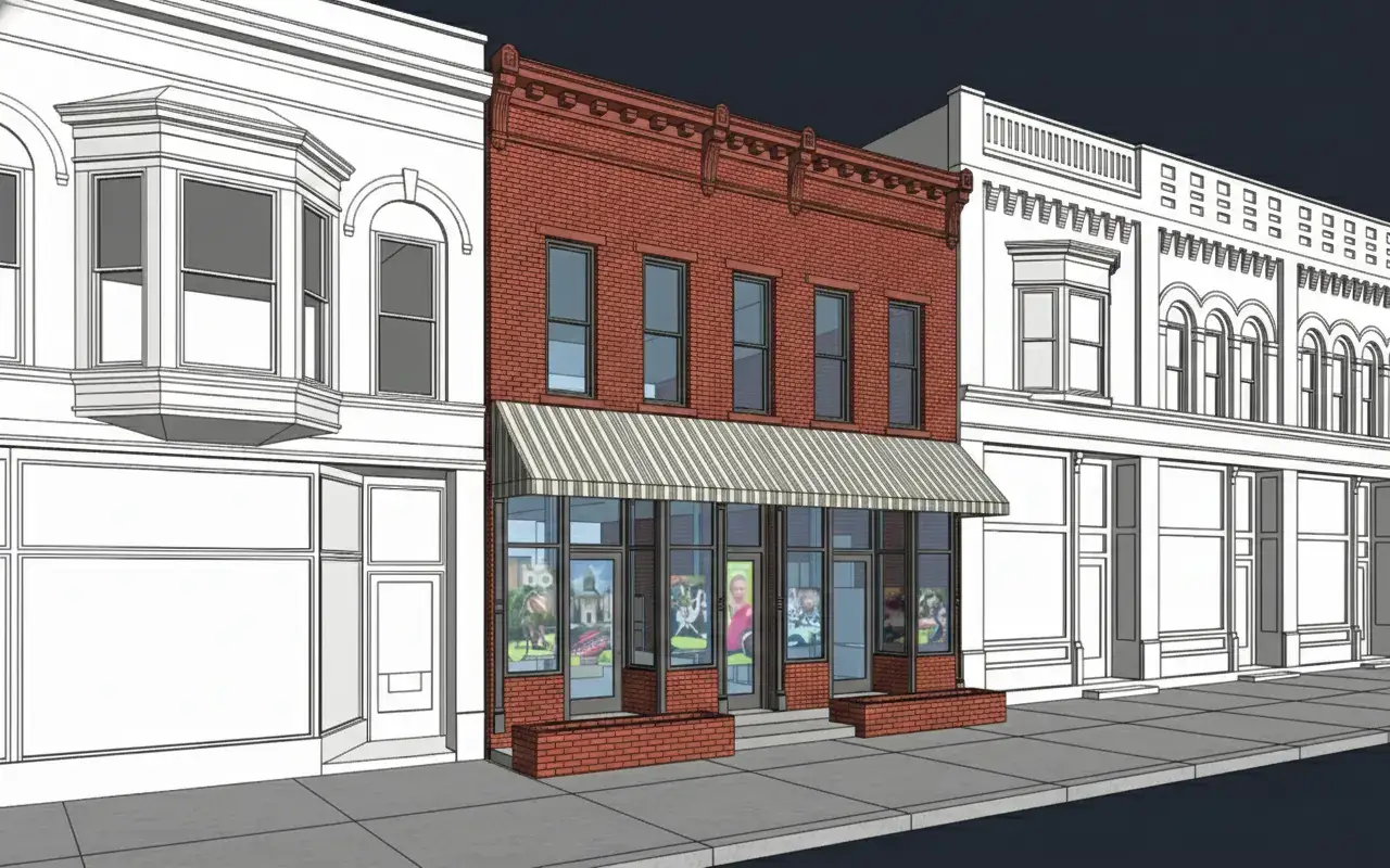
124 N Main St
Lo Que Dicen Nuestros Clientes
"ZEALOT Reality Capture superó nuestras expectativas con su precisión y profesionalismo. Los modelos LOD 300 que produjeron fueron excelentes, y el tiempo de entrega fue increíblemente rápido."
Charlie Patton
Desarrollador Inmobiliario
"El equipo respondió a nuestra solicitud con rapidez y eficiencia. Fueron puntuales, se comunicaron con claridad cada vez que tuvimos preguntas y, al final, entregaron un producto excelente."
Matthew Roddy
Gerente de Proyecto
"Trabajar con ZEALOT fue una gran experiencia. Fueron sumamente amables y muy atentos. El tiempo de entrega fue fantástico y el precio sumamente razonable, con resultados sorprendentes."
Nate Mirand
Arquitecto
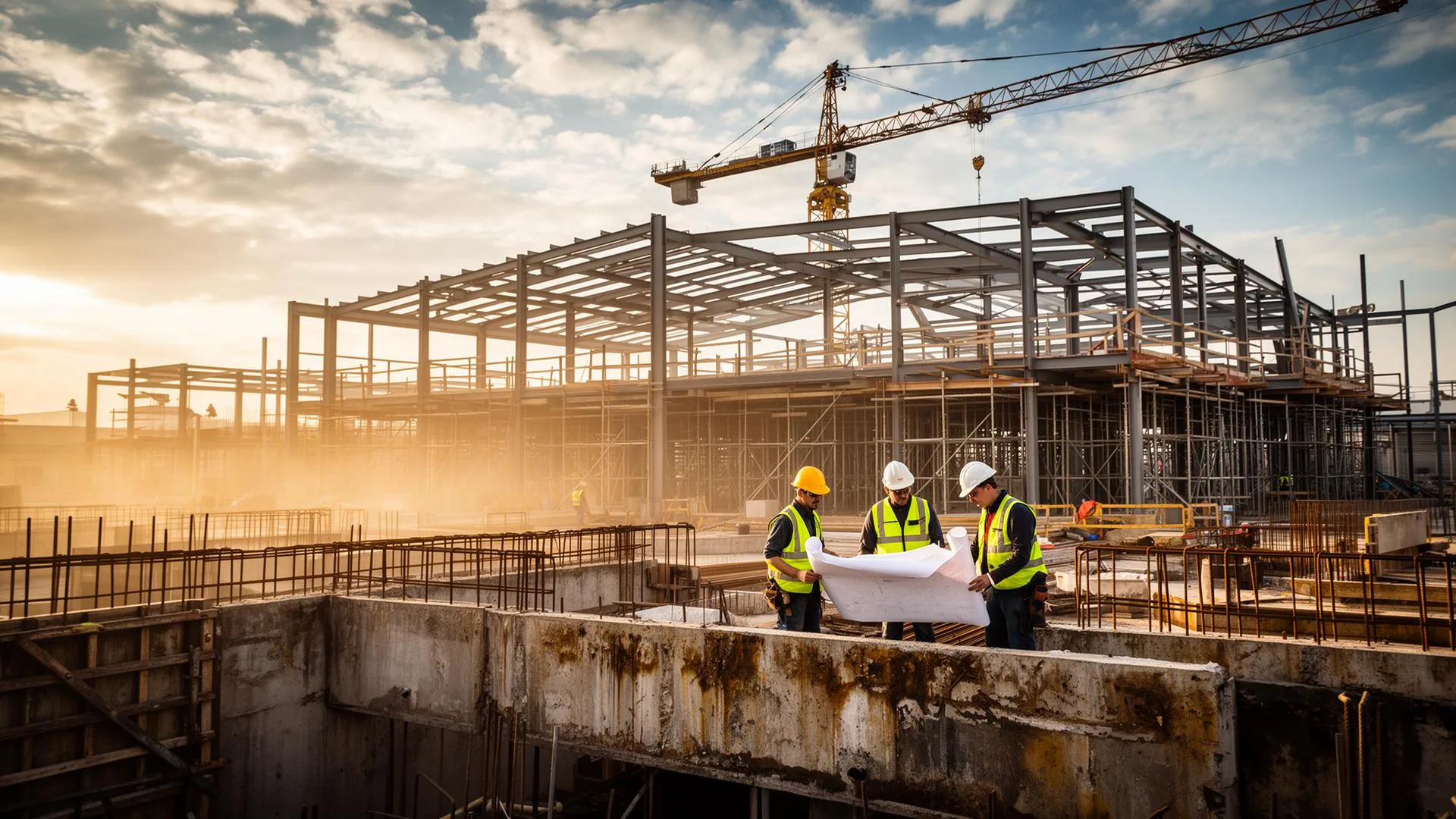
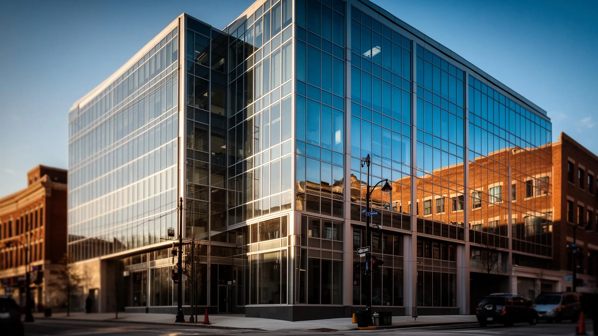
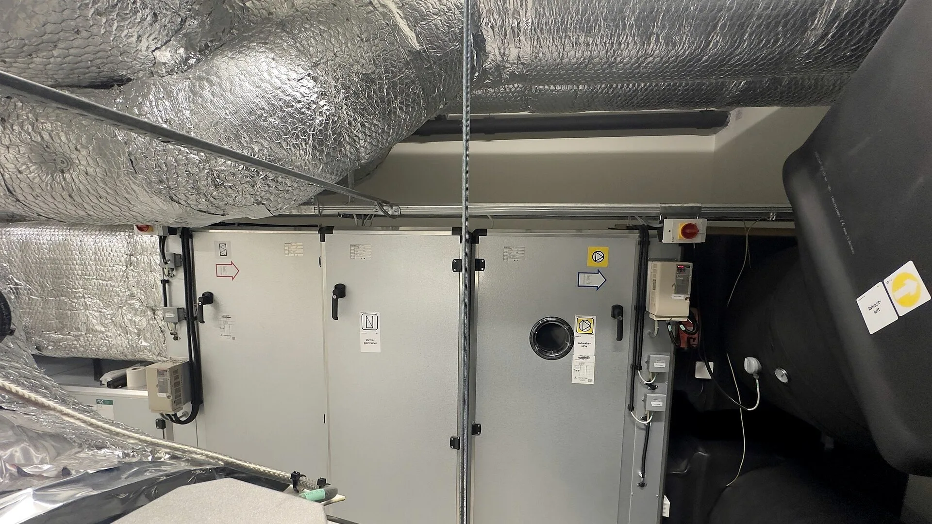
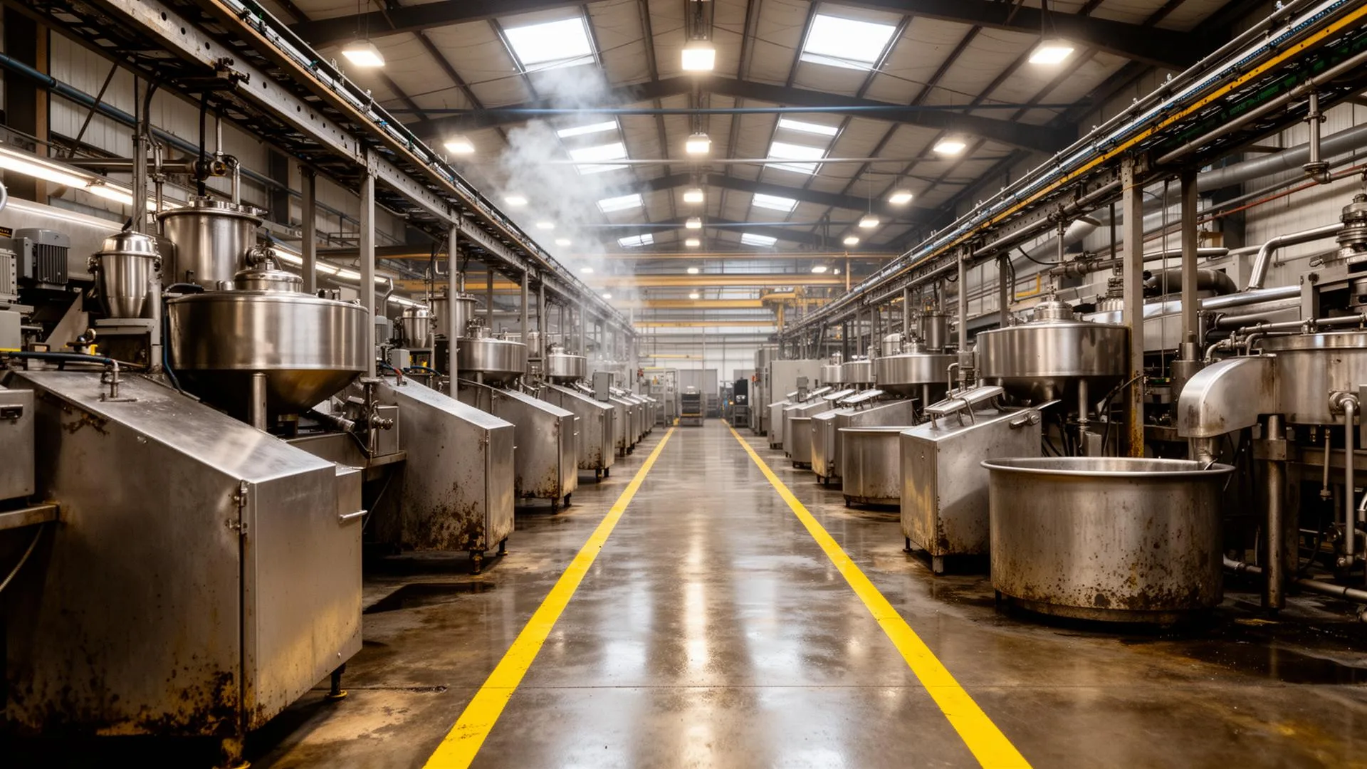
Escaneo Especializado para Su Industria
Impulsado por NavVis VLX3
Utilizamos el escáner láser portátil NavVis VLX3 combinado con la plataforma en la nube IVION: captura a paso de caminata, precisión de ±5mm y acceso desde el navegador a cada escaneo.
Precisión de Grado Topográfico
El NavVis VLX3 ofrece una precisión local de 5mm, garantizando que sus modelos cumplan con las especificaciones de proyecto más exigentes.
Captura Rápida de Datos
Recorra los espacios a paso normal mientras se capturan más de 2.5 millones de puntos por segundo con cobertura completa de 360°.
NavVis IVION Cloud
Acceda a sus datos de captura de realidad desde cualquier lugar a través de la plataforma IVION, con recorridos 3D inmersivos y mediciones.
Imágenes Fotorrealistas
Cuatro cámaras de 20 megapíxeles capturan impresionantes imágenes panorámicas integradas con los datos de nube de puntos.
Nuestro Flujo de Trabajo de Captura a Entrega
Captura en Sitio
Recorremos su instalación con el VLX3, capturando datos 3D completos en una fracción del tiempo del escaneo tradicional.
Procesamiento en la Nube
Los datos se procesan y se suben a NavVis IVION para acceso y colaboración inmediatos.
Control de Calidad
Nuestro equipo revisa todos los datos para verificar su integridad y precisión antes de iniciar el modelado.
Entrega del Modelo
Reciba sus entregables en los formatos de su preferencia, con acceso en la nube a los datos de origen.
Aplicaciones Típicas de Captura de Realidad
Preguntas Frecuentes
Preguntas comunes sobre nuestros servicios de escaneo láser 3D
Servicios Profesionales de Escaneo Láser 3D para las Industrias AEC
ZEALOT Reality Capture ofrece servicios profesionales de escaneo láser 3D para proyectos de arquitectura, ingeniería y construcción en todo Estados Unidos. Con sede en Ohio y atendiendo clientes a nivel nacional, usamos el LiDAR móvil NavVis VLX3 para proporcionar documentación as-built precisa, modelos BIM y planos CAD que mantienen sus proyectos en tiempo y dentro del presupuesto.
Nuestros servicios de escaneo láser 3D utilizan el escáner LiDAR móvil NavVis VLX3, que captura millones de puntos de medición por segundo mientras camina por su edificio. Esta tecnología ofrece precisión de grado topográfico de ±5mm mientras completa escaneos hasta 10 veces más rápido que los métodos tradicionales con trípode. El resultado son datos integrales de nube de puntos con una interrupción mínima de sus operaciones.
Desde edificios de oficinas comerciales hasta instalaciones industriales, desde hospitales hasta monumentos históricos, nuestros servicios de escaneo láser 3D se adaptan a los requisitos específicos de su proyecto. Trabajamos con contratistas generales que documentan el avance de la construcción, arquitectos que capturan condiciones existentes para diseños de renovación y administradores de instalaciones que crean registros as-built integrales. Cada proyecto recibe toda nuestra atención y nuestro compromiso con la precisión.
El valor de un escaneo láser 3D preciso se extiende a lo largo de todo el ciclo de vida de su proyecto. Los datos de nube de puntos eliminan costosas visitas adicionales a campo al capturar las condiciones existentes completas en una sola visita. Los modelos BIM creados a partir de datos de escaneo permiten una detección de interferencias eficaz antes de que los problemas se conviertan en costosos conflictos en obra. Las mediciones precisas garantizan que los componentes prefabricados ajusten correctamente, reduciendo el tiempo de instalación y los retrabajos.
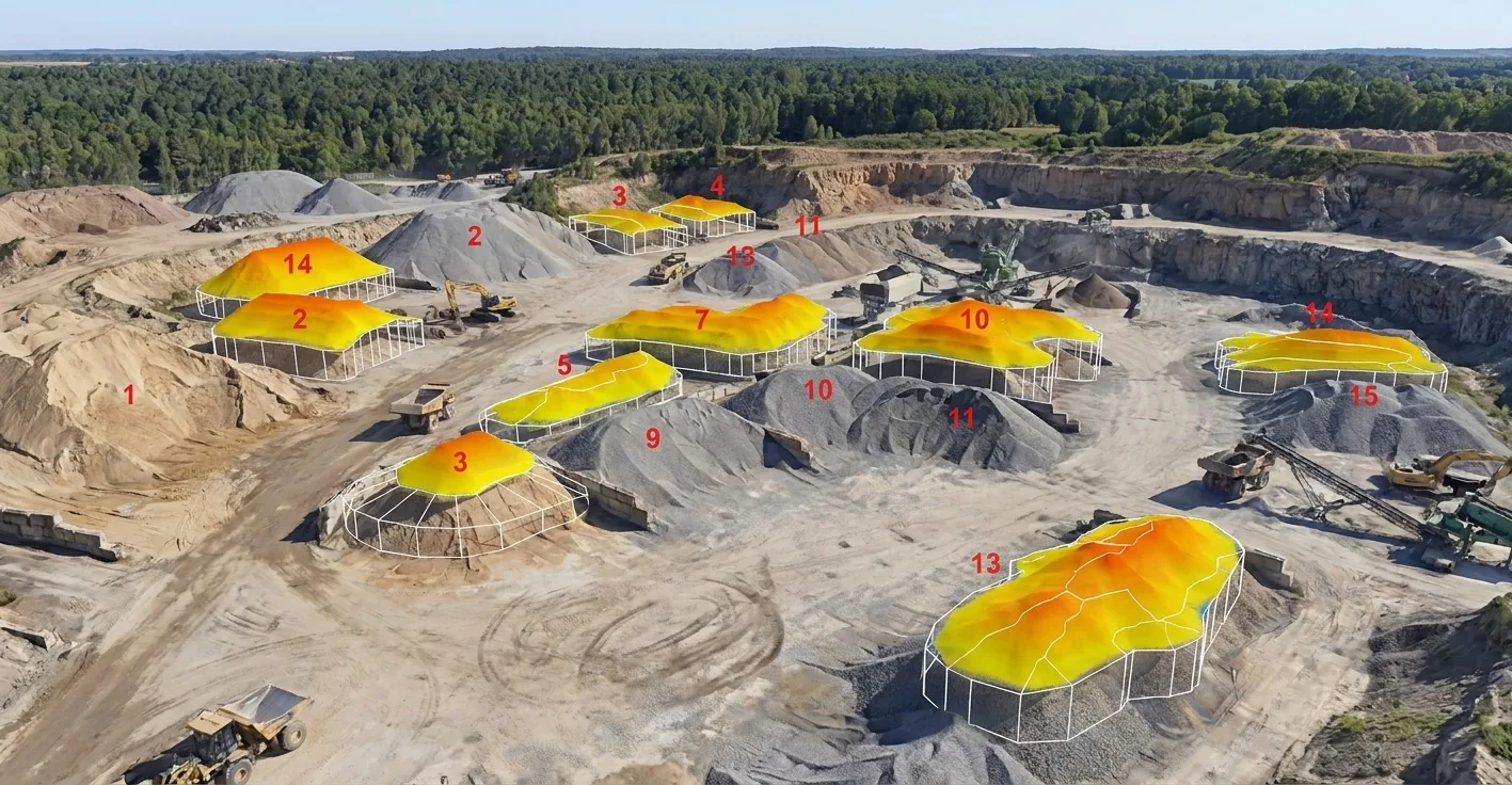
ZEALOT Reality Capture ofrece una gama completa de servicios de escaneo láser 3D, incluyendo escaneo de edificios, modelado Scan to BIM, creación de planos de planta 2D/3D, planos Scan to CAD, documentación as-built integral y escaneo volumétrico de acopios. Nuestro equipo maneja los proyectos desde la consulta inicial hasta el entregable final, brindando un servicio personalizado en cada etapa. Contáctenos hoy para una consulta gratuita y descubra cómo los servicios de escaneo láser 3D pueden beneficiar su próximo proyecto.
Obtenga un as-built preciso sin dolores de cabeza.
Envíenos la dirección de su sitio, el alcance o un plano de planta. Le devolveremos una cotización de precio fijo en 24 horas — y una muestra de cómo se verá su entregable.